Pirep is a free, collaborative database of all public and private airports. All pilots are welcome to contribute their local knowledge to any airport, no registration required.


No upcoming events. Is anything happening here soon?
Last updated: 2023-05-04 17:07:14 CDT
Last updated: 2024-02-27 21:55:33 CST
Airport Statistics
- Webcam links
- Airport map annotations
- Fuel pump location
Location:
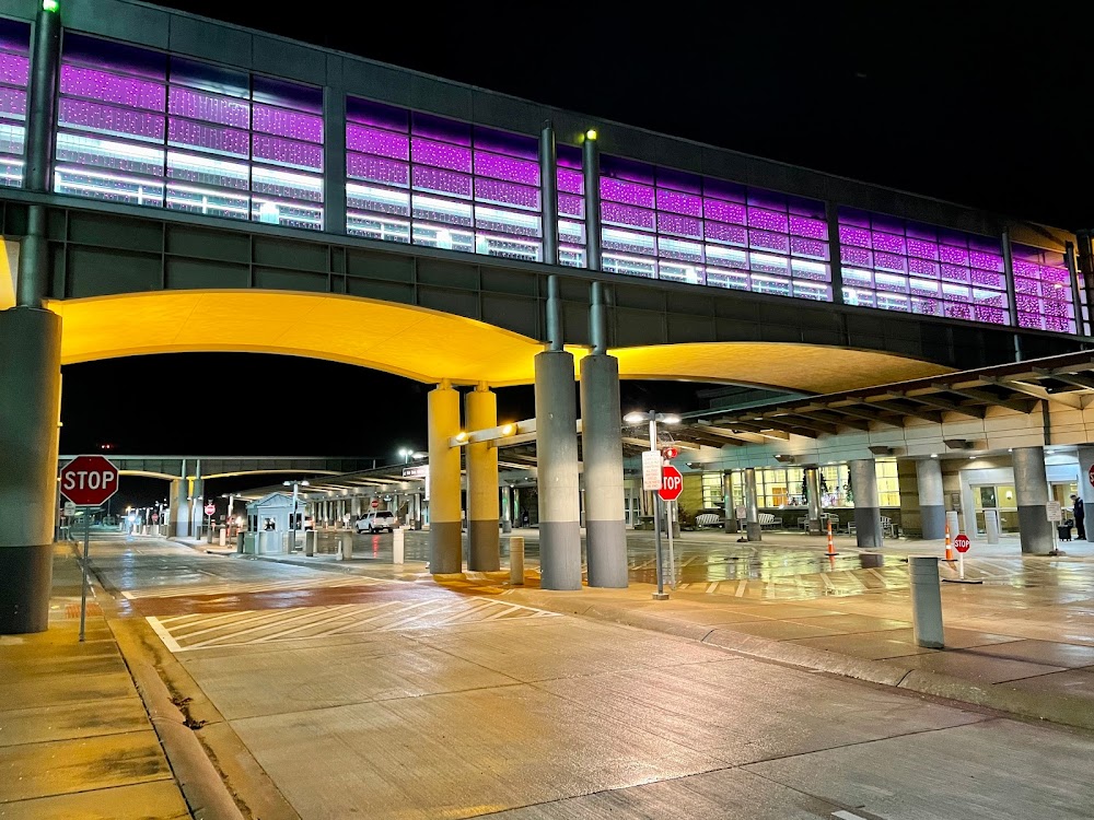
Madison, WI
Elevation:
886ft
Sectional:
Chicago
Activation date:
Sep 1937
Fuel:
100LL, A, A++ (prices)
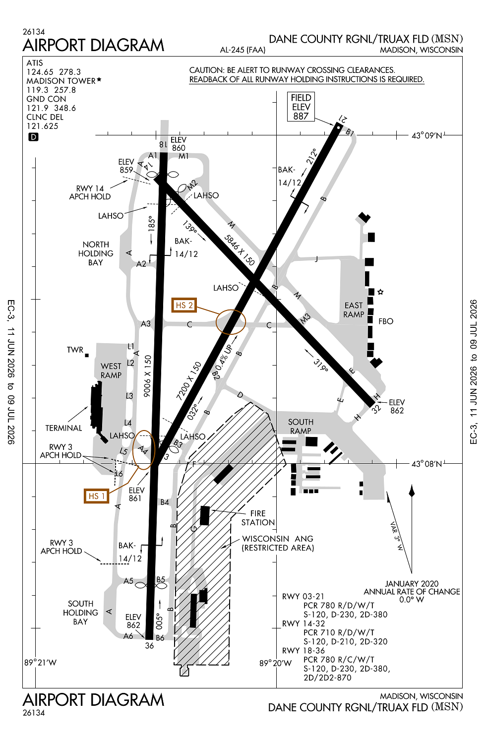
Runway 18/36:
9,006ft
Runway 03/21:
7,200ft
Runway 14/32:
5,846ft
Access: Open to the public
Similar Airports

Current Weather — VFR
-
Weather data is strictly informational and not for flight planning purposes.
-
METAR2026-06-24 18:53:00 CDT
Ceiling: 11,000ft Wind: 190° @ 6kt Temperature: 69°F Dewpoint: 64°F Weather: N/A Visbility: 10SM Clouds: Few @ 2,800ft, Scattered @ 7,000ft, Broken @ 11,000ft, Broken @ 25,000ft Raw:METAR KMSN 242353Z COR 19006KT 10SM FEW028 SCT070 BKN110 BKN250 21/18 A2989 RMK AO2 RAE32 TSB2259E46 SLP118 CB DSNT N-NE AND S-SW P0000 60000 T02110178 10233 20206 56006 -
TAF2026-06-24 19:00:00 CDT – 2026-06-24 21:00:00 CDT
Ceiling: Sky clear Wind: 230° @ 6kt Weather: N/A Visbility: 6SM Clouds: Scattered @ 7,000ft Raw:TAF KMSN 250007Z 2500/2524 23006KT P6SM SCT070 FM250200 30005KT P6SM FEW150 FM251600 31008KT P6SM BKN080 -
TAF2026-06-24 21:00:00 CDT – 2026-06-25 11:00:00 CDT
Ceiling: Sky clear Wind: 300° @ 5kt Weather: N/A Visbility: 6SM Clouds: Few @ 15,000ft Raw:TAF KMSN 250007Z 2500/2524 23006KT P6SM SCT070 FM250200 30005KT P6SM FEW150 FM251600 31008KT P6SM BKN080 -
TAF2026-06-25 11:00:00 CDT – 2026-06-25 19:00:00 CDT
Ceiling: 8,000ft Wind: 310° @ 8kt Weather: N/A Visbility: 6SM Clouds: Broken @ 8,000ft Raw:TAF KMSN 250007Z 2500/2524 23006KT P6SM SCT070 FM250200 30005KT P6SM FEW150 FM251600 31008KT P6SM BKN080
Click/tap to add an annotation marker to the map
No webcams added yet.
Remarks
- W ramp rstrd to acr.
- Noise abatement proc in efct; dep rwy 03 & 36; arr rwy 18 & 21.
- Tbjt trng ops proh.
- Birds on & invof arpt.
- Twy f & g rstrd to mil acft only.
Comments