Pirep is a free, collaborative database of all public and private airports. All pilots are welcome to contribute their local knowledge to any airport, no registration required.
No upcoming events. Is anything happening here soon?
Last updated: 2024-01-03 15:12:24 MST
Last updated: 2023-10-04 12:36:58 MDT
Airport Statistics
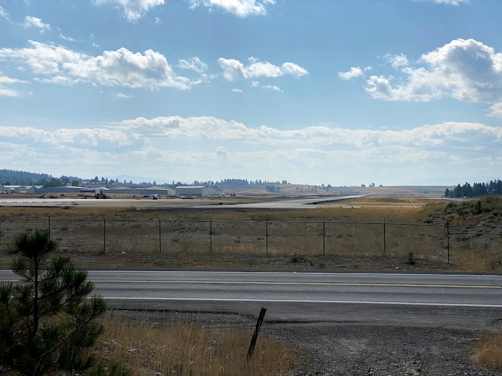
- Transient parking location
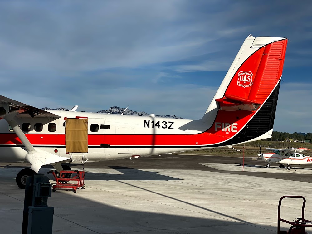
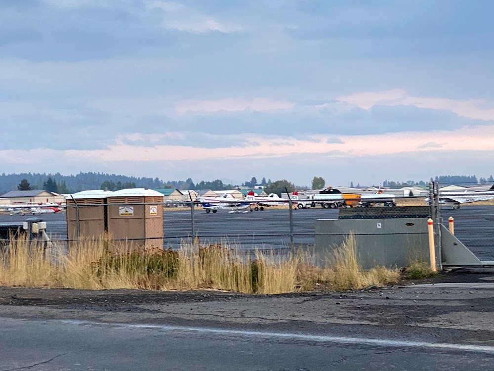
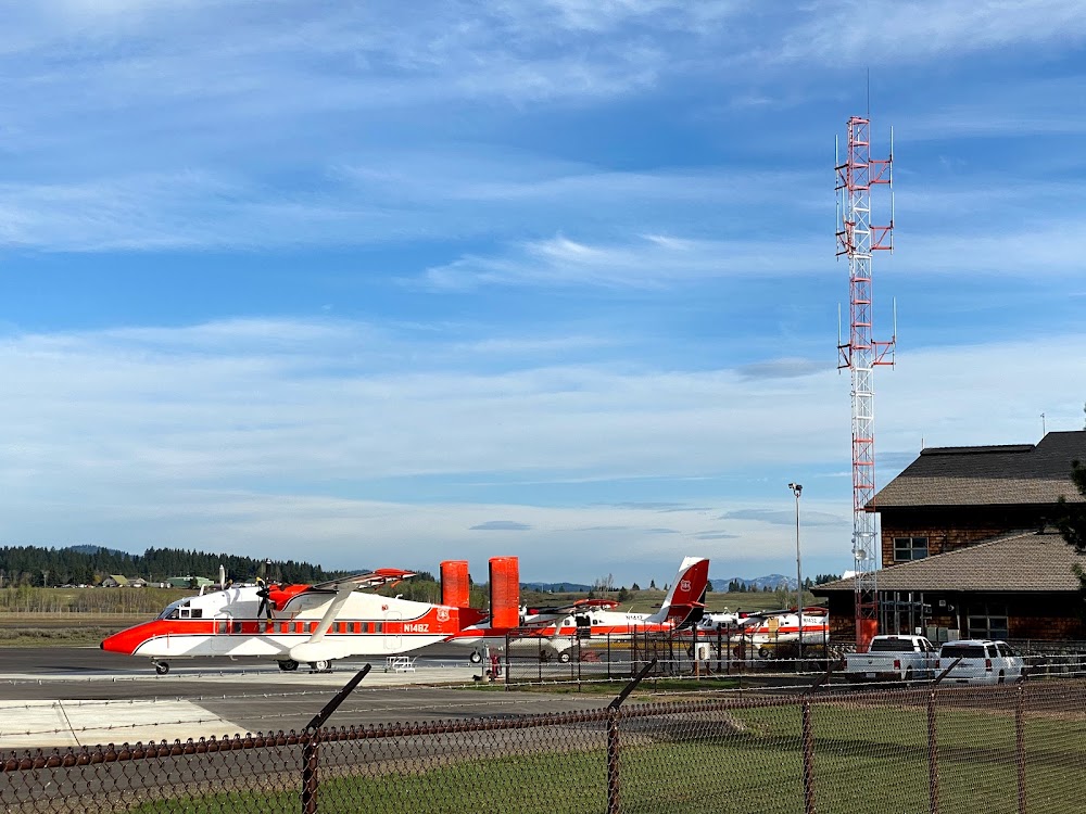
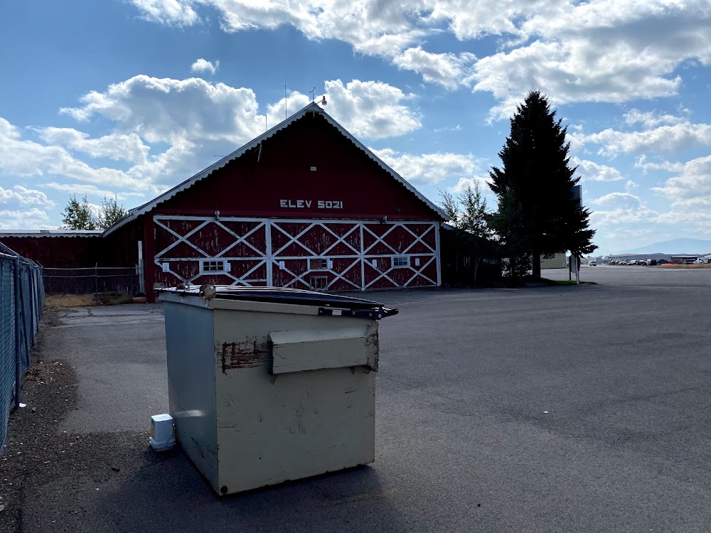
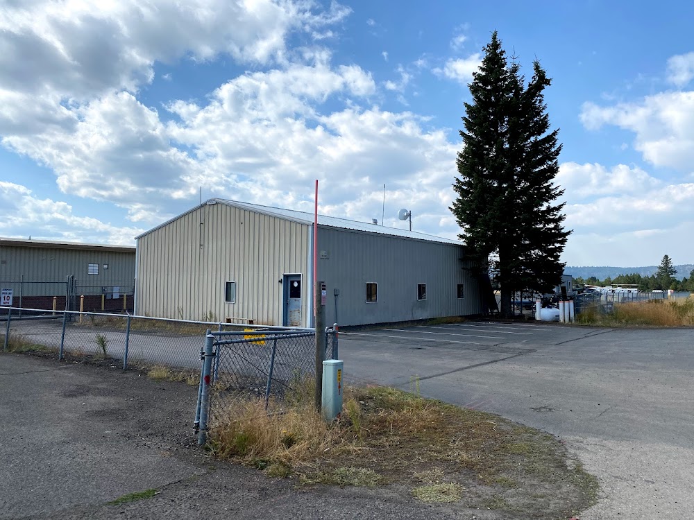
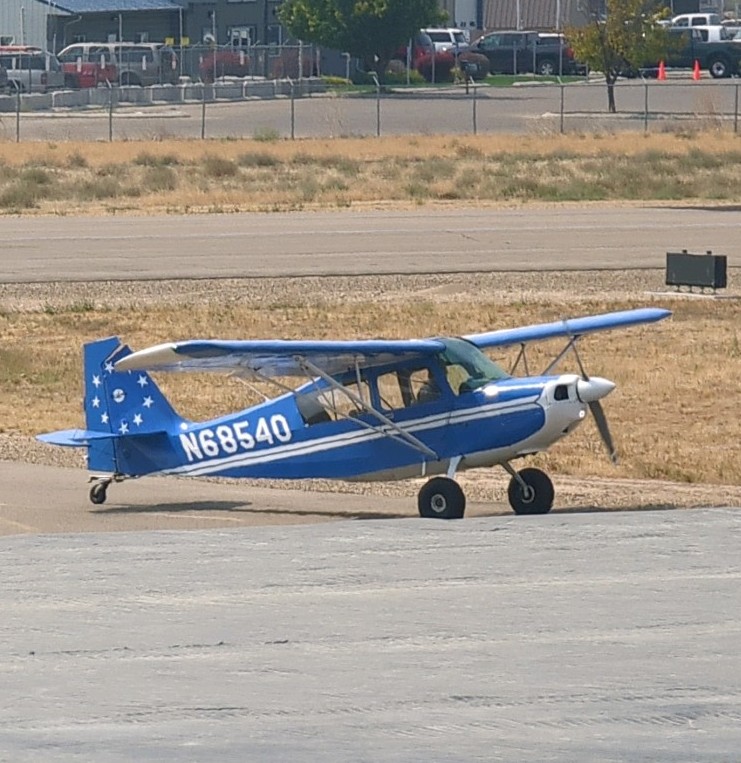
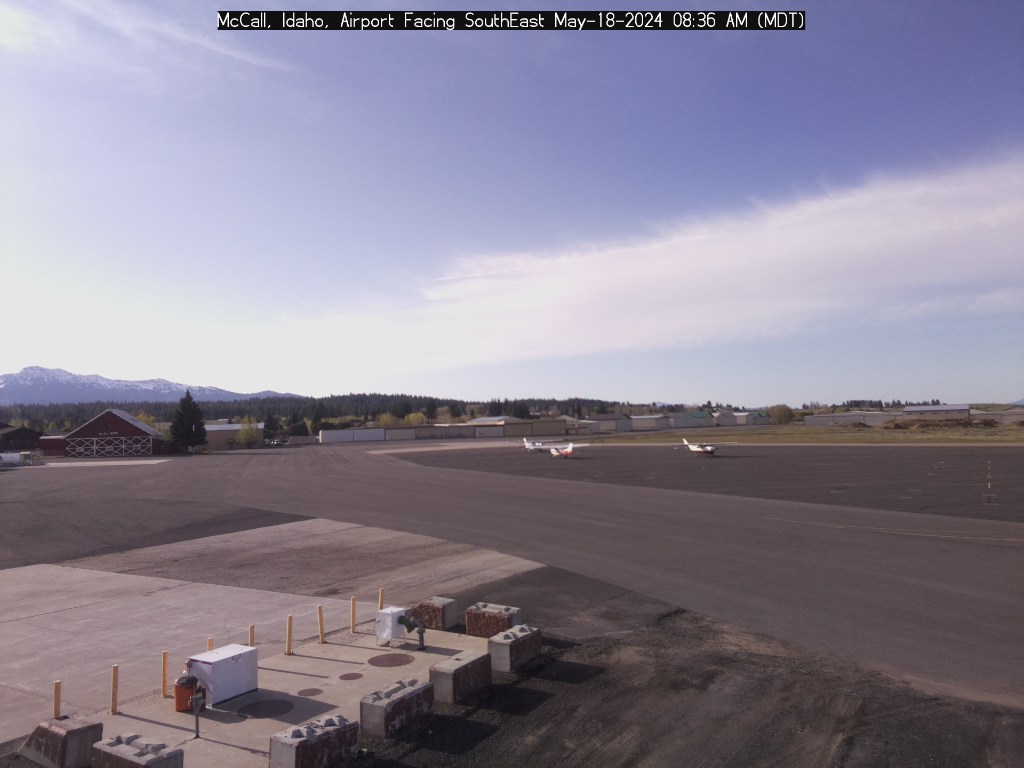
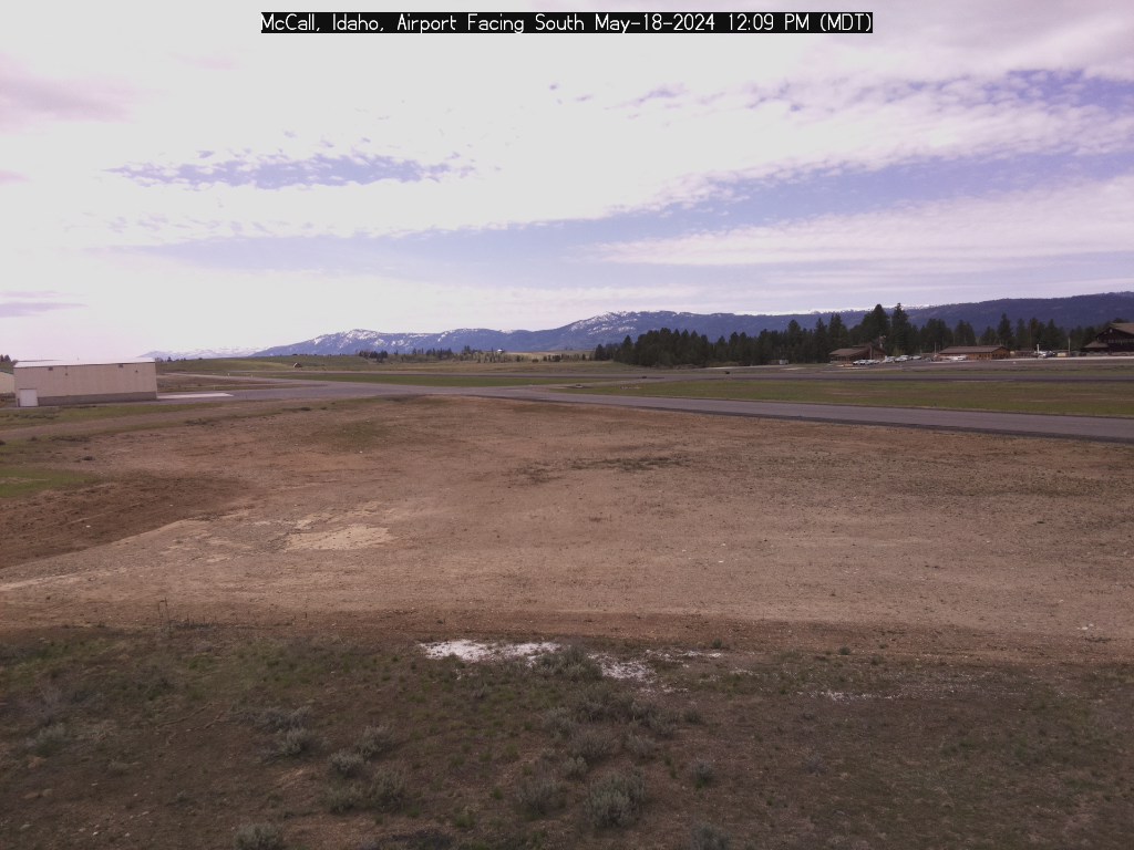
- Airport photos
- Landing & tie-down fees
Location:
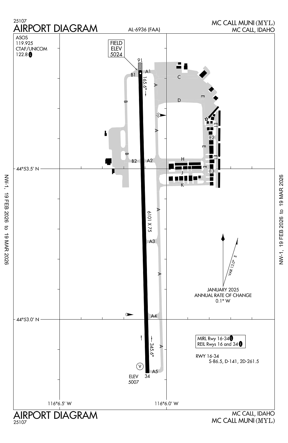
Mc Call, ID
Elevation:
5,024ft
Sectional:
Great Falls
Activation date:
Apr 1940
Fuel:
100LL, A, A1+ (prices)
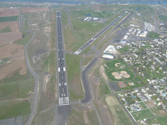
Runway 16/34:
6,101ft
Access: Open to the public
Similar Airports

Current Weather — VFR
-
Weather data is strictly informational and not for flight planning purposes.
-
METAR2026-03-15 20:51:00 MDT
Ceiling: 4,800ft Wind: 290° @ 4kt Temperature: 33°F Dewpoint: 17°F Weather: N/A Visbility: 10SM Clouds: Overcast @ 4,800ft Raw:METAR KMYL 160251Z AUTO 29004KT 10SM OVC048 01/M08 A3030 RMK AO2 SLP300 T00061083 53008 -
TAF2026-03-15 18:00:00 MDT – 2026-03-15 21:00:00 MDT
Ceiling: 12,000ft Wind: Variable Weather: N/A Visbility: 6SM Clouds: Broken @ 12,000ft Raw:TAF KMYL 152325Z 1600/1624 VRB03KT P6SM BKN120 FM160300 VRB03KT P6SM OVC080 PROB30 1605/1609 5SM -SN BR SCT015 OVC025 FM161700 VRB04KT P6SM BKN120 -
TAF2026-03-15 21:00:00 MDT – 2026-03-16 11:00:00 MDT
Ceiling: 8,000ft Wind: Variable Weather: N/A Visbility: 6SM Clouds: Overcast @ 8,000ft Raw:TAF KMYL 152325Z 1600/1624 VRB03KT P6SM BKN120 FM160300 VRB03KT P6SM OVC080 PROB30 1605/1609 5SM -SN BR SCT015 OVC025 FM161700 VRB04KT P6SM BKN120 -
TAF2026-03-15 23:00:00 MDT – 2026-03-16 03:00:00 MDT
Ceiling: 2,500ft Wind: 000° @ kt Weather: Light snow, mist Visbility: 5SM Clouds: Scattered @ 1,500ft, Overcast @ 2,500ft Raw:TAF KMYL 152325Z 1600/1624 VRB03KT P6SM BKN120 FM160300 VRB03KT P6SM OVC080 PROB30 1605/1609 5SM -SN BR SCT015 OVC025 FM161700 VRB04KT P6SM BKN120 -
TAF2026-03-16 11:00:00 MDT – 2026-03-16 18:00:00 MDT
Ceiling: 12,000ft Wind: Variable Weather: N/A Visbility: 6SM Clouds: Broken @ 12,000ft Raw:TAF KMYL 152325Z 1600/1624 VRB03KT P6SM BKN120 FM160300 VRB03KT P6SM OVC080 PROB30 1605/1609 5SM -SN BR SCT015 OVC025 FM161700 VRB04KT P6SM BKN120
Click/tap to add an annotation marker to the map

Remarks
- Estabd prior to 15 may 1959.
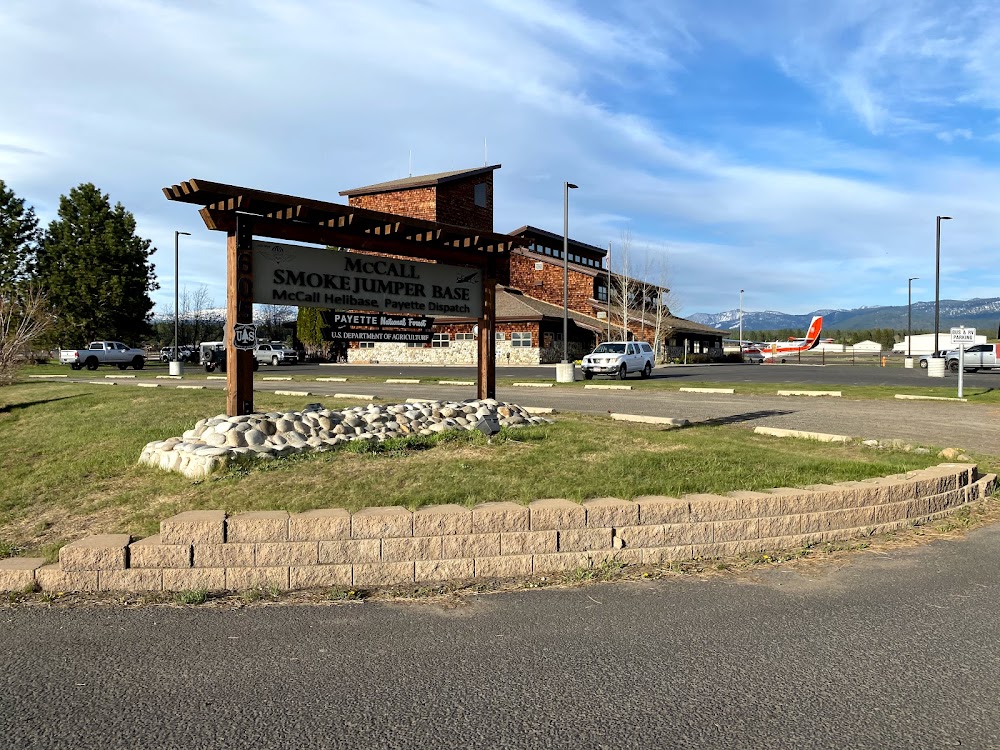
- Usfs practices parachute jumps invof arpt.
- Big game animals may be on or in vicinity of ry.
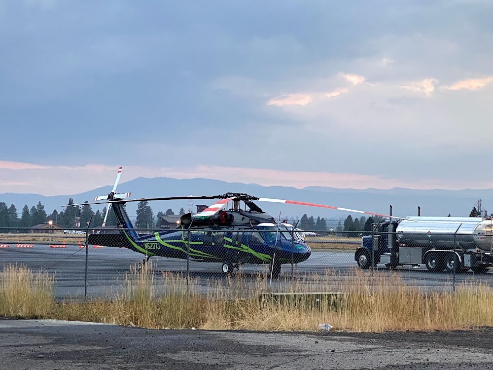
- No helicopter parking in fixed wing tie-down areas.
- Ry 16 has a marked 50 ft blast pad.
Comments