Pirep is a free, collaborative database of all public and private airports. All pilots are welcome to contribute their local knowledge to any airport, no registration required.
No upcoming events. Is anything happening here soon?
Last updated: 2024-06-24 22:48:18 PDT
Last updated: 2023-04-09 19:26:59 PDT
Airport Statistics
Location:
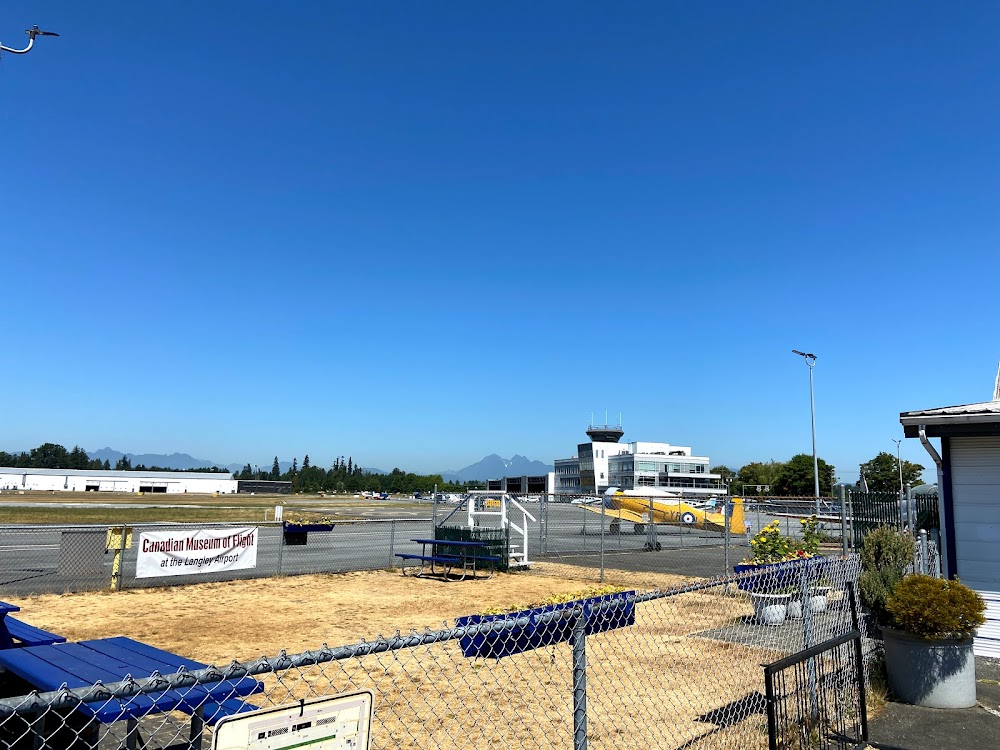
Olympia, WA
Elevation:
207ft
Sectional:
Seattle
Activation date:
Dec 1937
Fuel:
100LL, A (prices)
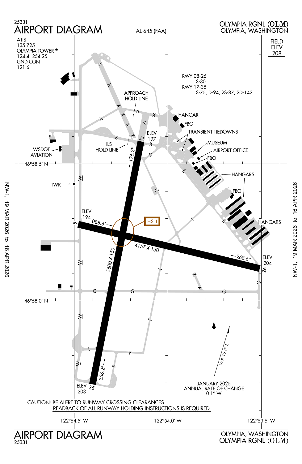
Runway 17/35:
5,500ft
Runway 08/26:
4,157ft
Access: Open to the public
Similar Airports
Current Weather — VFR
-
Weather data is strictly informational and not for flight planning purposes.
-
METAR2026-04-01 16:54:00 PDT
Ceiling: 4,800ft Wind: 210° @ 9kt Temperature: 46°F Dewpoint: 44°F Weather: Light rain Visbility: 10SM Clouds: Few @ 3,600ft, Broken @ 4,800ft, Overcast @ 5,500ft Raw:METAR KOLM 012354Z 21009KT 10SM -RA FEW036 BKN048 OVC055 08/07 A2942 RMK AO2 RAB11 SLP963 P0005 60013 T00830067 10094 20078 55002 -
TAF2026-04-01 17:00:00 PDT – 2026-04-01 23:00:00 PDT
Ceiling: 2,000ft Wind: 190° @ 12kt, gusts 18kt Weather: Light rain showers, mist Visbility: 6SM Clouds: Overcast @ 2,000ft Raw:TAF KOLM 012323Z 0200/0224 19012G18KT 6SM -SHRA BR OVC020 FM020600 21008KT 6SM -SHRA BR OVC022 FM021300 21010KT 6SM BR VCSH OVC025 FM022100 23009KT P6SM BKN035 -
TAF2026-04-01 23:00:00 PDT – 2026-04-02 06:00:00 PDT
Ceiling: 2,200ft Wind: 210° @ 8kt Weather: Light rain showers, mist Visbility: 6SM Clouds: Overcast @ 2,200ft Raw:TAF KOLM 012323Z 0200/0224 19012G18KT 6SM -SHRA BR OVC020 FM020600 21008KT 6SM -SHRA BR OVC022 FM021300 21010KT 6SM BR VCSH OVC025 FM022100 23009KT P6SM BKN035 -
TAF2026-04-02 06:00:00 PDT – 2026-04-02 14:00:00 PDT
Ceiling: 2,500ft Wind: 210° @ 10kt Weather: Mist, showers in vicinity Visbility: 6SM Clouds: Overcast @ 2,500ft Raw:TAF KOLM 012323Z 0200/0224 19012G18KT 6SM -SHRA BR OVC020 FM020600 21008KT 6SM -SHRA BR OVC022 FM021300 21010KT 6SM BR VCSH OVC025 FM022100 23009KT P6SM BKN035 -
TAF2026-04-02 14:00:00 PDT – 2026-04-02 17:00:00 PDT
Ceiling: 3,500ft Wind: 230° @ 9kt Weather: N/A Visbility: 6SM Clouds: Broken @ 3,500ft Raw:TAF KOLM 012323Z 0200/0224 19012G18KT 6SM -SHRA BR OVC020 FM020600 21008KT 6SM -SHRA BR OVC022 FM021300 21010KT 6SM BR VCSH OVC025 FM022100 23009KT P6SM BKN035
Click/tap to add an annotation marker to the map
Remarks
- Estabd prior to 15 may 1959.
- Twy lgts on twy w, a, l, and b.
- Airport field conditions unmonitored 1700 lcl - 0700 lcl.
- Emerg freq 121.5 not mnt at twr.
- For cd when atct is clsd ctc seattle apch at 206-214-4723.
Comments