Pirep is a free, collaborative database of all public and private airports. All pilots are welcome to contribute their local knowledge to any airport, no registration required.
No upcoming events. Is anything happening here soon?
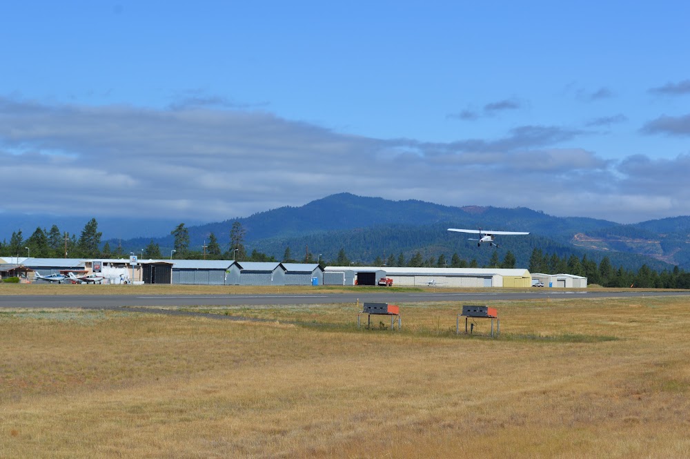
Last updated: 2024-04-03 19:13:11 PDT
Last updated: 2024-04-03 19:12:14 PDT
Airport Statistics
- Local flying clubs
- Webcam links
- Fuel pump location
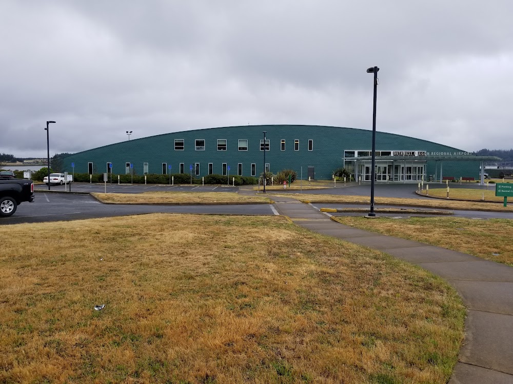
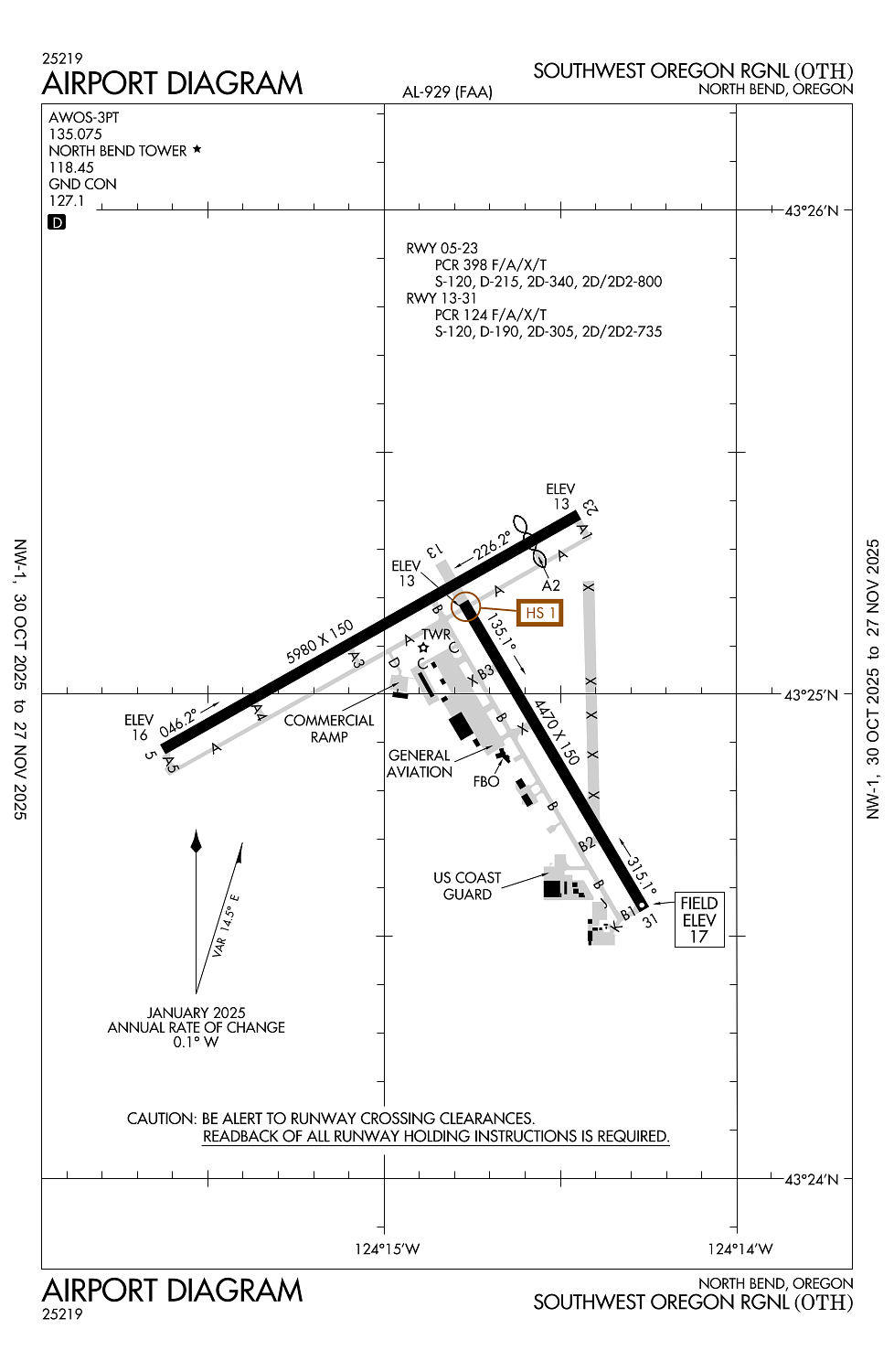
Location:
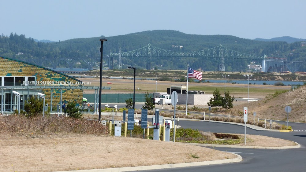
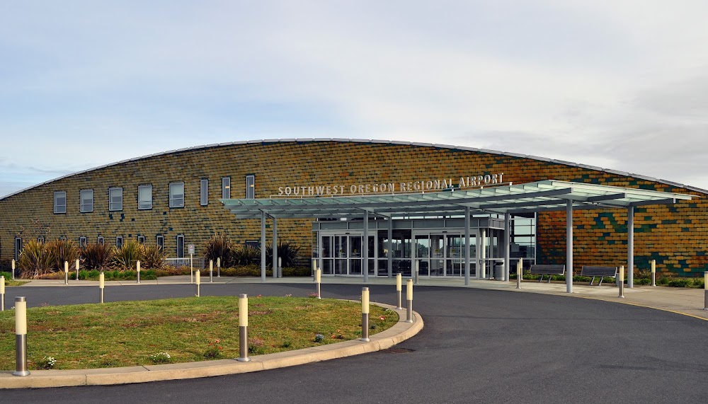
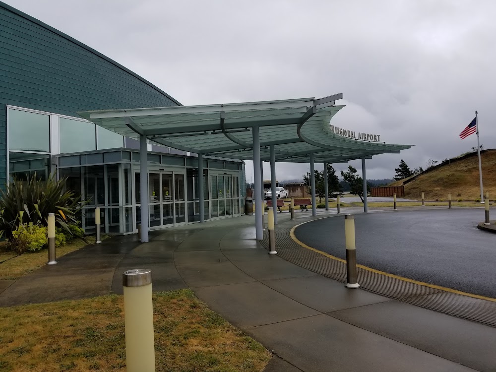
North Bend, OR
Elevation:
17ft
Sectional:
Klamath Falls
Activation date:
Jan 1940
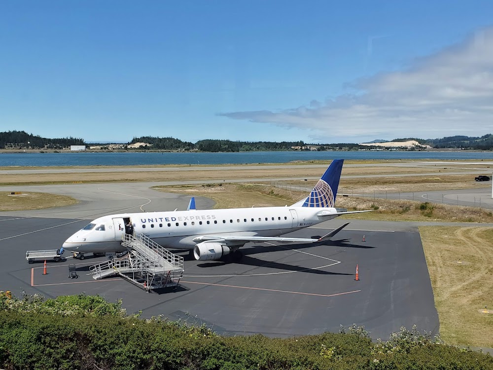
Fuel:
100LL, A (prices)
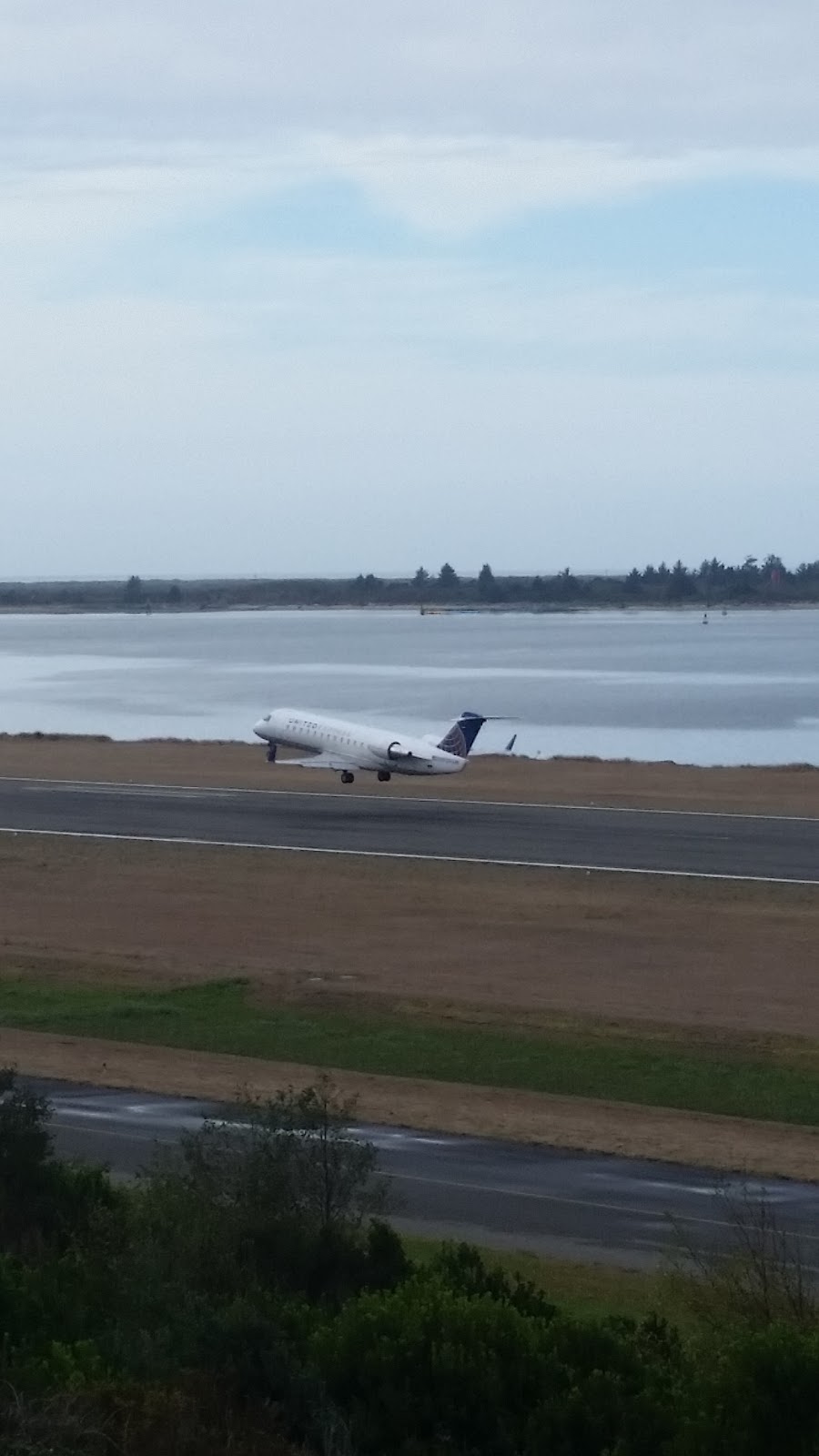
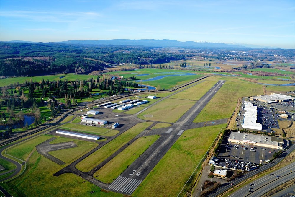
Runway 05/23:
5,980ft
Runway 13/31:
4,470ft
Access: Open to the public
Similar Airports
Current Weather — MVFR
-
Weather data is strictly informational and not for flight planning purposes.
-
METAR2025-12-14 02:56:00 PST
Ceiling: 1,000ft Wind: 140° @ 8kt Temperature: 48°F Dewpoint: 48°F Weather: N/A Visbility: 10SM Clouds: Overcast @ 1,000ft Raw:METAR KOTH 141056Z AUTO 14008KT 10SM OVC010 09/09 A3007 RMK AO2 SLP182 T00940094 -
TAF2025-12-14 04:00:00 PST – 2025-12-14 09:00:00 PST
Ceiling: 1,000ft Wind: 160° @ 6kt Weather: N/A Visbility: 6SM Clouds: Overcast @ 1,000ft Raw:TAF KOTH 141120Z 1412/1512 16006KT P6SM OVC010 FM141700 17007KT P6SM SCT020 SCT060 OVC100 FM142300 19008KT P6SM BKN050 OVC100 FM150800 17012G24KT 6SM -SHRA BR OVC035 -
TAF2025-12-14 09:00:00 PST – 2025-12-14 15:00:00 PST
Ceiling: 10,000ft Wind: 170° @ 7kt Weather: N/A Visbility: 6SM Clouds: Scattered @ 2,000ft, Scattered @ 6,000ft, Overcast @ 10,000ft Raw:TAF KOTH 141120Z 1412/1512 16006KT P6SM OVC010 FM141700 17007KT P6SM SCT020 SCT060 OVC100 FM142300 19008KT P6SM BKN050 OVC100 FM150800 17012G24KT 6SM -SHRA BR OVC035 -
TAF2025-12-14 15:00:00 PST – 2025-12-15 00:00:00 PST
Ceiling: 5,000ft Wind: 190° @ 8kt Weather: N/A Visbility: 6SM Clouds: Broken @ 5,000ft, Overcast @ 10,000ft Raw:TAF KOTH 141120Z 1412/1512 16006KT P6SM OVC010 FM141700 17007KT P6SM SCT020 SCT060 OVC100 FM142300 19008KT P6SM BKN050 OVC100 FM150800 17012G24KT 6SM -SHRA BR OVC035 -
TAF2025-12-15 00:00:00 PST – 2025-12-15 04:00:00 PST
Ceiling: 3,500ft Wind: 170° @ 12kt, gusts 24kt Weather: Light rain showers, mist Visbility: 6SM Clouds: Overcast @ 3,500ft Raw:TAF KOTH 141120Z 1412/1512 16006KT P6SM OVC010 FM141700 17007KT P6SM SCT020 SCT060 OVC100 FM142300 19008KT P6SM BKN050 OVC100 FM150800 17012G24KT 6SM -SHRA BR OVC035
Click/tap to add an annotation marker to the map
No webcams added yet.
Remarks
- Ship chnl xs rwy 05 2/3 mi fm thld; xs rwy 13 & rwy 23 1000 - 1700 ft fm thld; mast hgts to 144 ft.
- Waterfowl on & invof arpt.
- Arpt use fees.
- Paew invof rwys & twys 0730-1530.
- Twy a3 clsd ovr 60000 lb.
Comments