Pirep is a free, collaborative database of all public and private airports. All pilots are welcome to contribute their local knowledge to any airport, no registration required.

Undocumented
METAR / TAF
Edit Tags
No upcoming events. Is anything happening here soon?
Airport Statistics
- Airport map annotations
- Fuel pump location
- WiFi availability
Location:
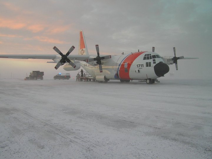
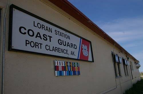
Port Clarence, AK
Elevation:
10ft
Sectional:
Nome
Activation date:
Jul 1963
Fuel:
None
Runway 16/34:
4,497ft
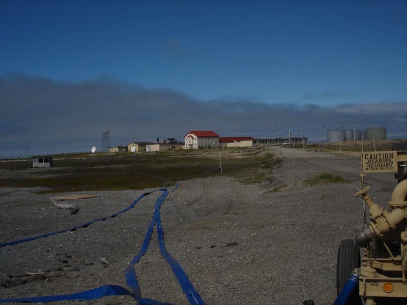
Access: Private to everyone
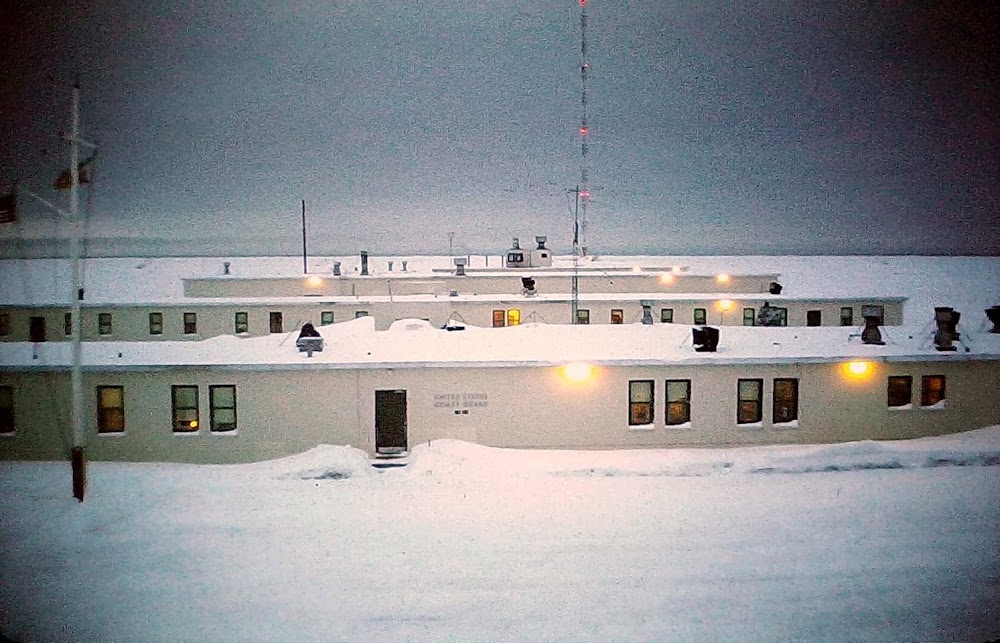
This is a military facility.
Click/tap to add an annotation marker to the map
No webcams added yet.
Remarks
- Per nga sac survey.
- 1500 ft x 120 ft gravel overrun n end.
- N-s prevailing winds.
- Avbl ppr only. ctc cmdr at 907-642-3844 or on 122.8.
- Mirl mkd by 36 inch by one & half inch diameter yellow plastic tubes in winter conds.
- 24 hrs
- Extension 213.
Comments