Pirep is a free, collaborative database of all public and private airports located within the United States. All pilots are welcome to contribute, edit, and improve any airport they have local knowledge about, no registration required.
Are you familiar with this airport? Help out other pilots by adding your local knowledge.


Undocumented
METAR / TAF
Edit Tags
Upcoming Events
No upcoming events. Is anything happening here soon?
Airport Statistics
Location:
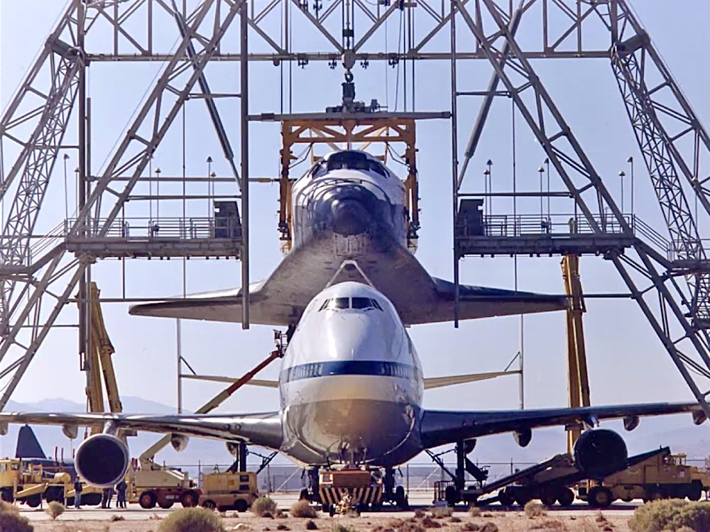
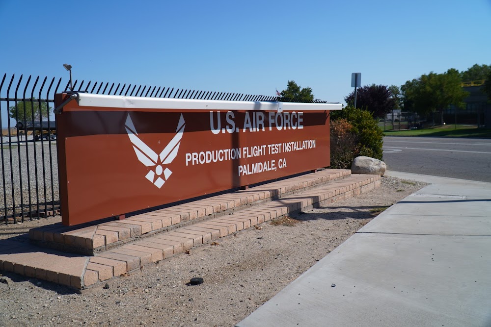
Palmdale, CA
Elevation:
2,542ft
Sectional:
Los Angeles
Fuel:
None
Runway 07/25:
12,002ft
Runway 04/22:
12,001ft
Runway 072/252:
6,000ft
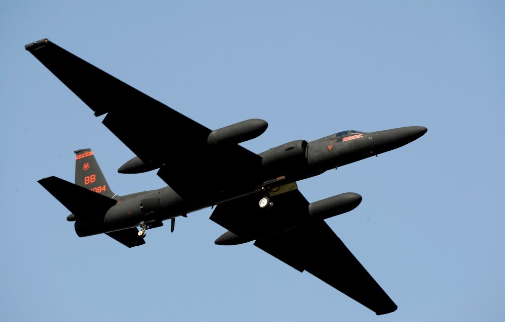
Access: Open to the public
Current Weather — VFR
-
Weather data is strictly informational and not for flight planning purposes.
-
METAR2024-05-18 16:53:00 PDT
Ceiling Wind Temperature Dewpoint Weather Visbility Sky clear 230° @ 20kt, gusts 29kt 75°F 41°F N/A 10SM Raw:KPMD 182353Z 23020G29KT 10SM CLR 24/05 A2991 RMK AO2 PK WND 21034/2254 SLP106 T02440050 10283 20244 53000 -
TAF2024-05-18 17:00:00 PDT – 2024-05-18 20:00:00 PDT
Ceiling Wind Weather Visbility Sky clear 230° @ 25kt, gusts 32kt N/A 6SM Clouds: @ ft Raw:KPMD 182338Z 1900/1924 23025G32KT P6SM SKC FM190300 23018G25KT P6SM SKC FM191400 24013KT P6SM SKC FM192000 25022G30KT P6SM SKC -
TAF2024-05-18 20:00:00 PDT – 2024-05-19 07:00:00 PDT
Ceiling Wind Weather Visbility Sky clear 230° @ 18kt, gusts 25kt N/A 6SM Clouds: @ ft Raw:KPMD 182338Z 1900/1924 23025G32KT P6SM SKC FM190300 23018G25KT P6SM SKC FM191400 24013KT P6SM SKC FM192000 25022G30KT P6SM SKC -
TAF2024-05-19 07:00:00 PDT – 2024-05-19 13:00:00 PDT
Ceiling Wind Weather Visbility Sky clear 240° @ 13kt N/A 6SM Clouds: @ ft Raw:KPMD 182338Z 1900/1924 23025G32KT P6SM SKC FM190300 23018G25KT P6SM SKC FM191400 24013KT P6SM SKC FM192000 25022G30KT P6SM SKC -
TAF2024-05-19 13:00:00 PDT – 2024-05-19 17:00:00 PDT
Ceiling Wind Weather Visbility Sky clear 250° @ 22kt, gusts 30kt N/A 6SM Clouds: @ ft Raw:KPMD 182338Z 1900/1924 23025G32KT P6SM SKC FM190300 23018G25KT P6SM SKC FM191400 24013KT P6SM SKC FM192000 25022G30KT P6SM SKC
Click/tap to add an annotation marker to the map

No webcams added yet.
Remarks
- This airport has been surveyed by the national geodetic survey.
- Estabd prior to 5/15/59.
- Offical business only. military arpt. civil use requires usaf approval and dd form 2400/01/02.
- Misc: indus instln - no trnspn, lodging or nml svc avbl on site.
- Prkg ramp lctd s of rwy 22 & twy v not vsb fm atct.
Comments