Pirep is a free, collaborative database of all public and private airports. All pilots are welcome to contribute their local knowledge to any airport, no registration required.


Public
Undocumented
METAR / TAF
Edit Tags
No upcoming events. Is anything happening here soon?
Airport Statistics
- Tags
- Local flying clubs
- Crew car availability
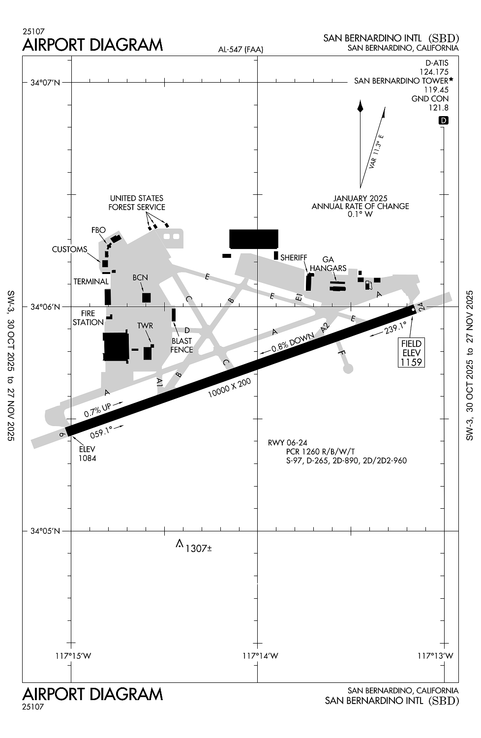
Location:
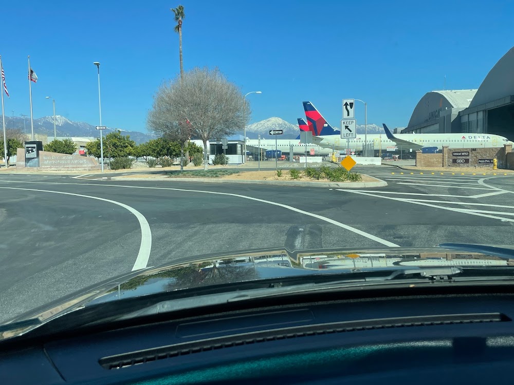
San Bernardino, CA
Elevation:
1,159ft
Sectional:
Los Angeles
Activation date:
Jul 1940
Fuel:
100LL, A (prices)
Runway 06/24:
10,000ft
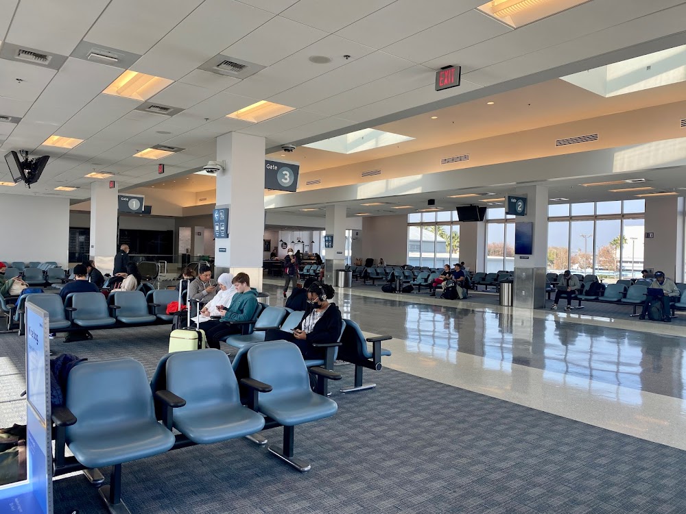
Access: Open to the public
Current Weather — VFR
-
Weather data is strictly informational and not for flight planning purposes.
-
METAR2025-12-13 14:55:00 PST
Ceiling: Sky clear Wind: 240° @ 6kt Temperature: 78°F Dewpoint: 37°F Weather: N/A Visbility: 10SM Raw:METAR KSBD 132255Z 24006KT 10SM CLR 26/03 A2998 -
TAF2025-12-13 16:00:00 PST – 2025-12-14 16:00:00 PST
Ceiling: Sky clear Wind: Variable Weather: N/A Visbility: 6SM Clouds: Scattered @ 25,000ft Raw:TAF KSBD 132325Z 1400/1424 VRB05KT P6SM SCT250
Click/tap to add an annotation marker to the map
No webcams added yet.
Remarks
- High terrain n and e of apt.
- Ry 06 designated calm wind ry.
- Fire fighting acft ctc us forest svc tanker base on gnd freq 123.975.
- Ry 06/24 strength rated for the a380 at 1,300,000 lbs.
- Periodic live firefighting training producing smoke and light emmisions approx 6,000 ft ne of ry 6 thld.
Comments