Pirep is a free, collaborative database of all public and private airports. All pilots are welcome to contribute their local knowledge to any airport, no registration required.


Public
Undocumented
METAR / TAF
Edit Tags
No upcoming events. Is anything happening here soon?
Airport Statistics
- General description
- WiFi availability
- Local flying clubs
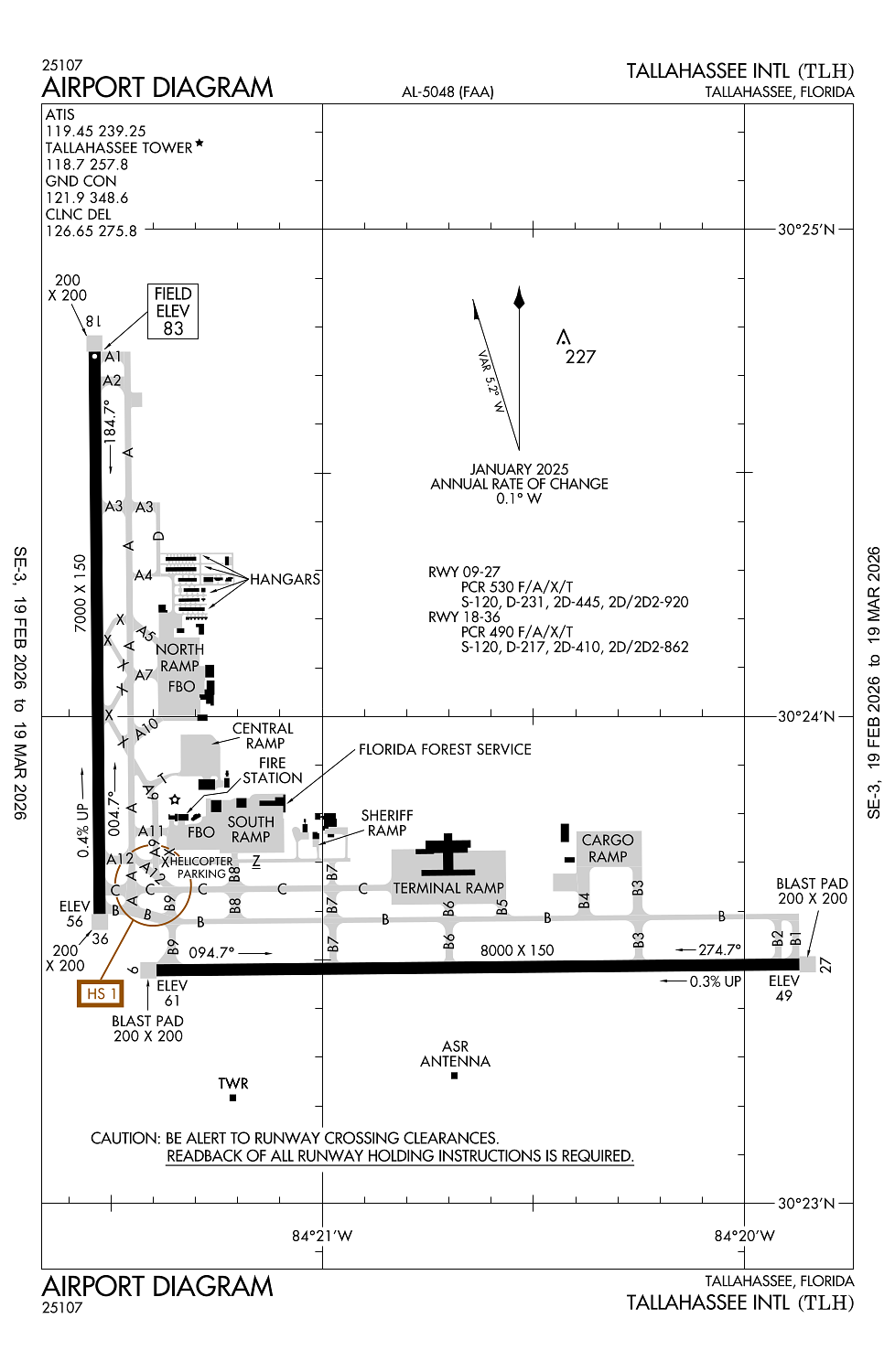
Location:
Tallahassee, FL
Elevation:
83ft
Sectional:
Jacksonville
Activation date:
Sep 1961
Fuel:
100LL, A (prices)
Runway 09/27:
8,000ft
Runway 18/36:
7,000ft
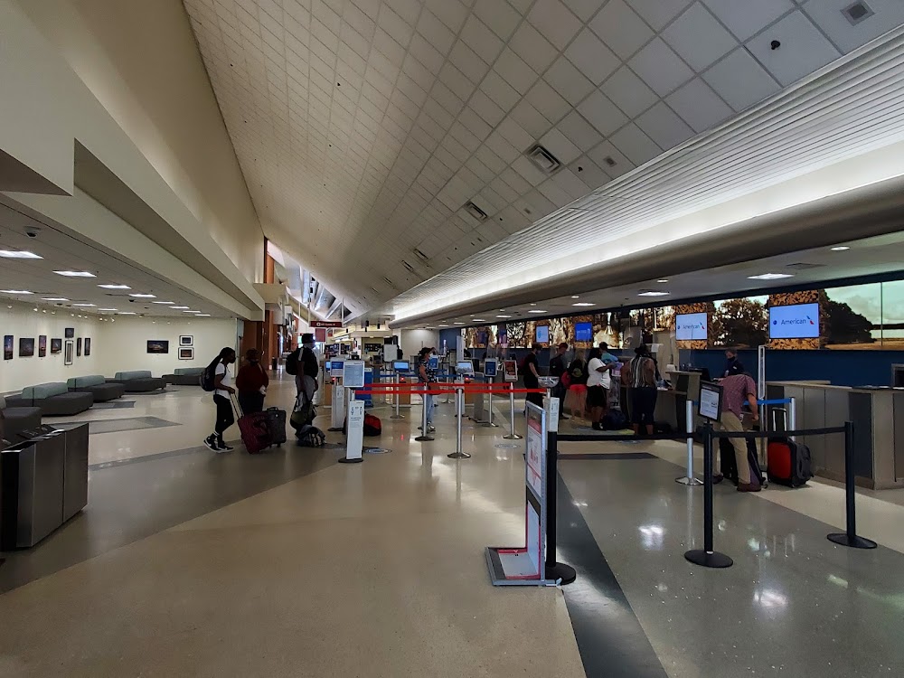
Access: Open to the public
Current Weather — VFR
-
Weather data is strictly informational and not for flight planning purposes.
-
METAR2026-03-19 04:53:00 EDT
Ceiling: Sky clear Wind: 280° @ 3kt Temperature: 35°F Dewpoint: 30°F Weather: N/A Visbility: 10SM Raw:METAR KTLH 190853Z AUTO 28003KT 10SM CLR 02/M01 A3023 RMK AO2 SLP237 T00221006 56007 -
TAF2026-03-19 02:00:00 EDT – 2026-03-19 11:00:00 EDT
Ceiling: Sky clear Wind: Variable Weather: N/A Visbility: 6SM Clouds: @ ft Raw:TAF KTLH 190522Z 1906/2006 VRB02KT P6SM SKC FM191500 03007KT P6SM SKC FM200300 VRB02KT P6SM SKC -
TAF2026-03-19 11:00:00 EDT – 2026-03-19 23:00:00 EDT
Ceiling: Sky clear Wind: 030° @ 7kt Weather: N/A Visbility: 6SM Clouds: @ ft Raw:TAF KTLH 190522Z 1906/2006 VRB02KT P6SM SKC FM191500 03007KT P6SM SKC FM200300 VRB02KT P6SM SKC -
TAF2026-03-19 23:00:00 EDT – 2026-03-20 02:00:00 EDT
Ceiling: Sky clear Wind: Variable Weather: N/A Visbility: 6SM Clouds: @ ft Raw:TAF KTLH 190522Z 1906/2006 VRB02KT P6SM SKC FM191500 03007KT P6SM SKC FM200300 VRB02KT P6SM SKC
Click/tap to add an annotation marker to the map
No webcams added yet.
Remarks
- Movement area of twy 'z' begins at the intxn of twy 'b8' & proceeds e to the intxn of twy 'b7' this twy is not for use by acr opns; asph btn twys 'b8' & 'a12' is for hel opns; twy 'z' fm twy 'a12' to the ramp is open to acft with wingspan of 50 ft or less.
- Birds on & invof arpt.
- For cd if una to ctc on fss freq, ctc tallahassee apch at 850-942-8311, when apch clsd ctc jacksonville artcc at 904-845-1592.
- When atct clsd actvt malsr 36; reil rwy 9 & 18; papi rwy 9, 27, 18 & 36; hirl rwy 9/27 & 18/36 - ctaf. alsf2 rwy 27 preset on med intst.
- Pcr value: 490/f/a/x/t
Comments