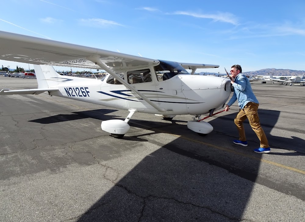
Pirep is a free, collaborative database of all public and private airports. All pilots are welcome to contribute their local knowledge to any airport, no registration required.
No upcoming events. Is anything happening here soon?
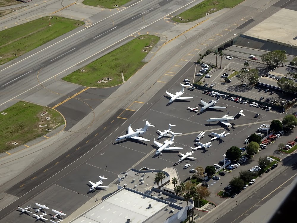
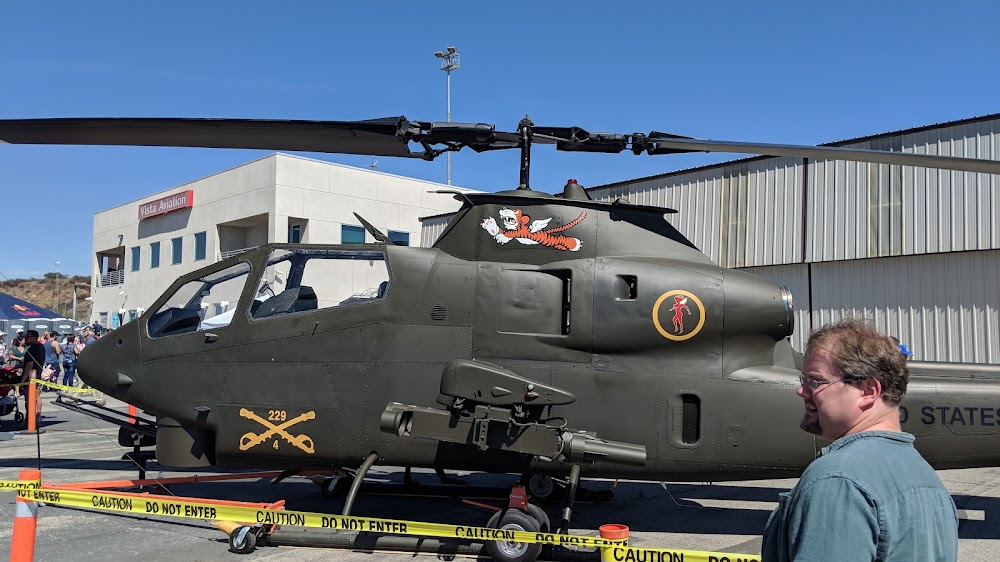
Last updated: 2023-04-14 18:42:17 PDT
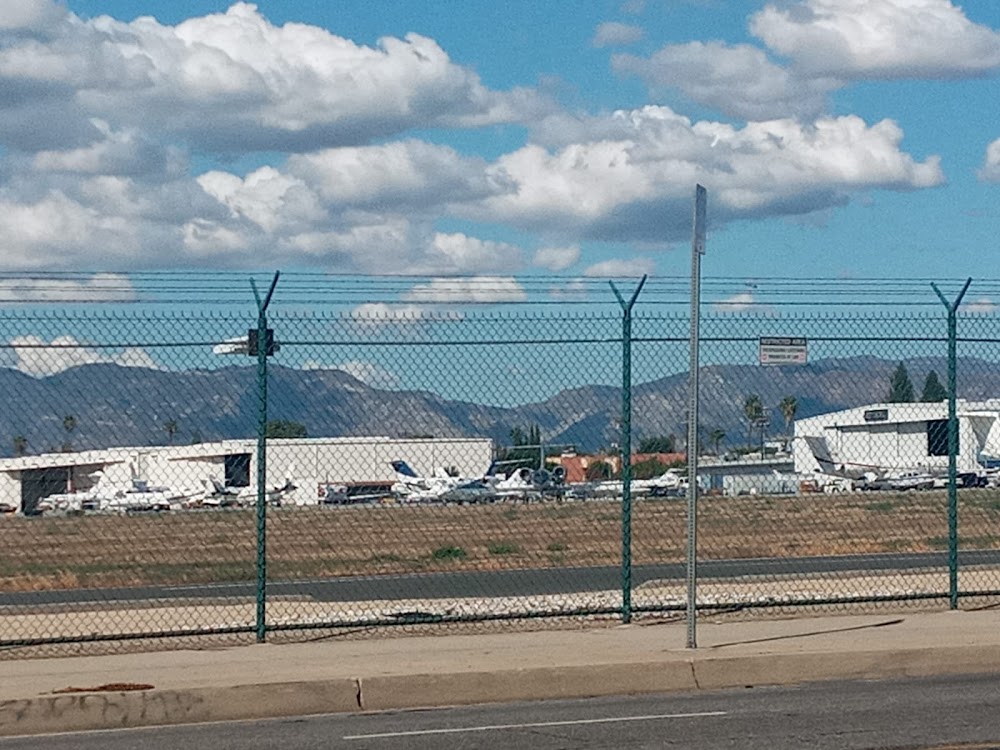
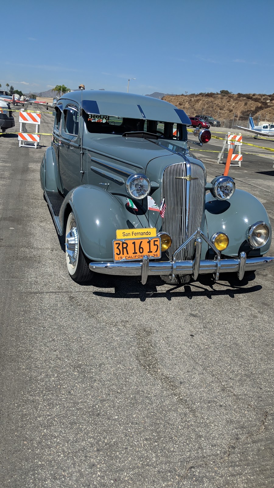
Last updated: 2023-04-14 18:42:22 PDT
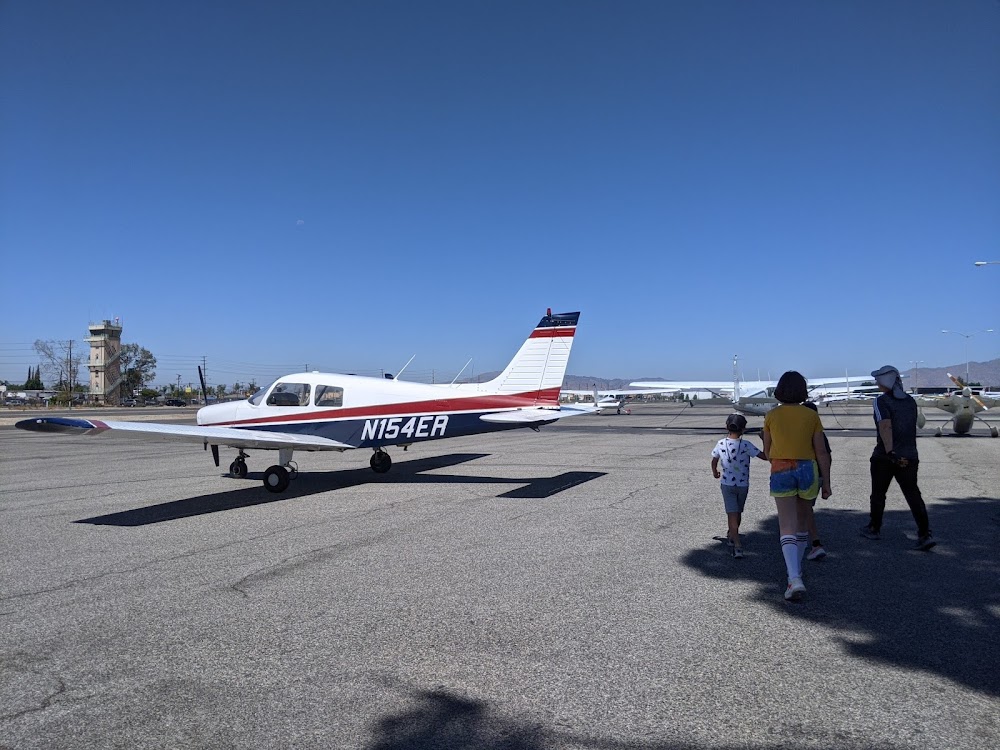
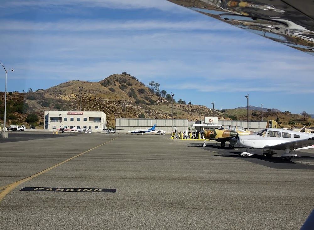
Last updated: 2024-01-09 23:37:44 PST
Airport Statistics
- Fuel pump location
- Airport map annotations
- WiFi availability
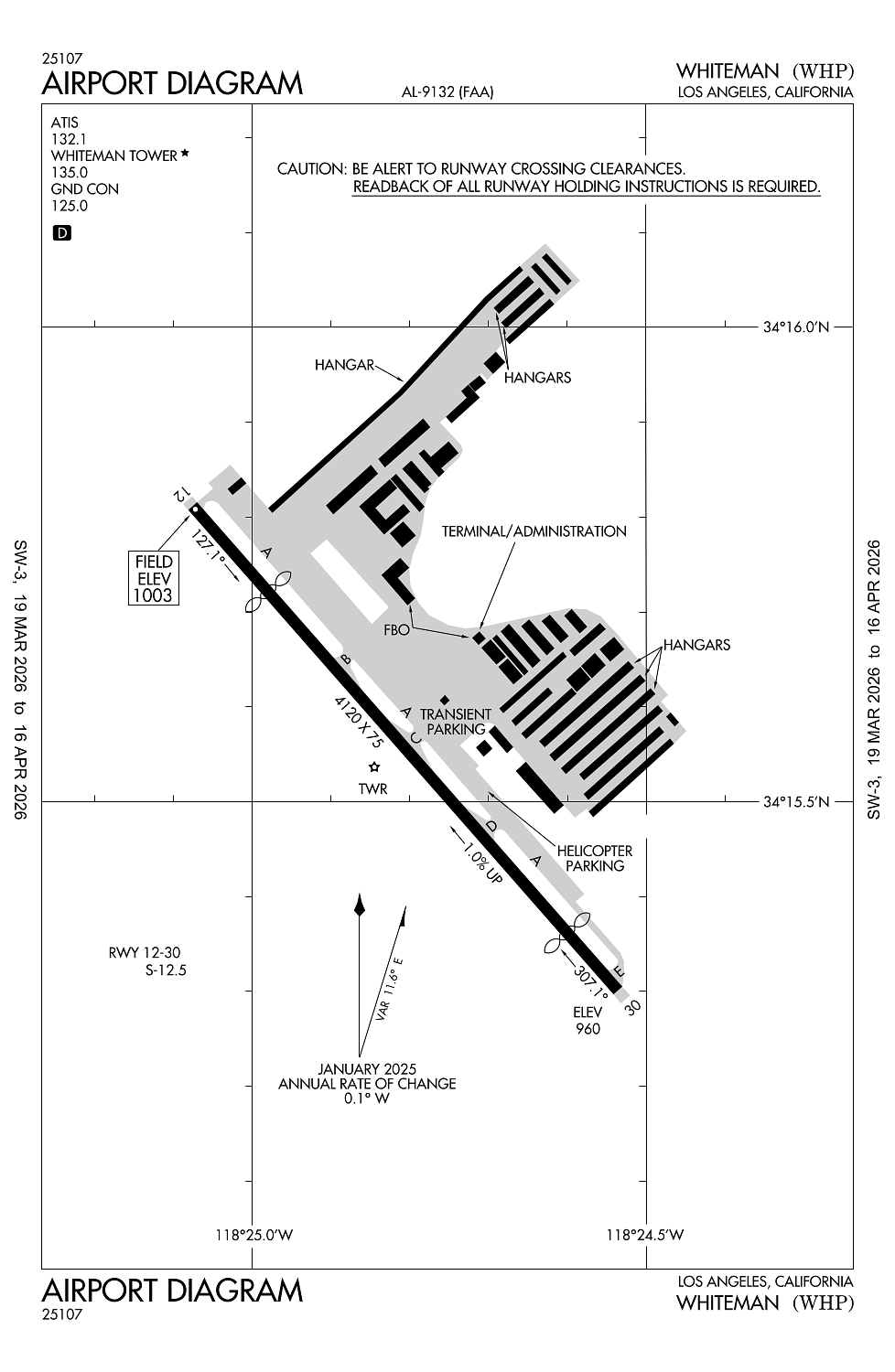
Location:
Los Angeles, CA
Elevation:
1,003ft
Sectional:
Los Angeles
Activation date:
Jun 1945
Fuel:
100LL, A (prices)
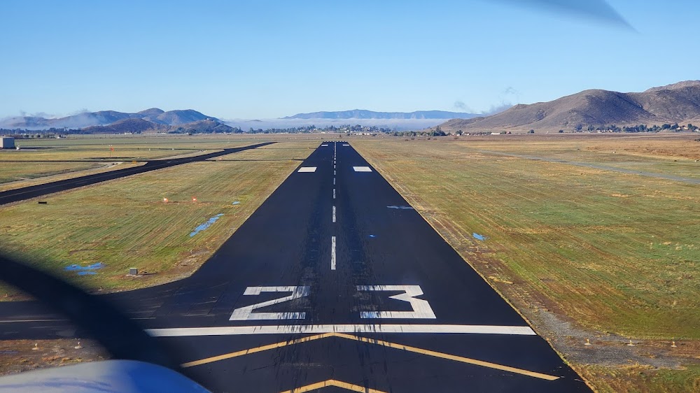
Runway 12/30:
4,120ft
Access: Open to the public
Similar Airports
Click/tap to add an annotation marker to the map
No webcams added yet.
Remarks
- Helicopter opns 2500' msl (1500' agl) and below.
- Power lines sw of ry penetrate 7:1 transitional sfc.
- Birds on and invof arpt.
- (e125) includes 3 amphibians.
- Airport closed to helicopter training / pattern operations 2000-0800.
Comments