Pirep is a free, collaborative database of all public and private airports. All pilots are welcome to contribute their local knowledge to any airport, no registration required.
Public
Undocumented
Edit Tags
No upcoming events. Is anything happening here soon?
Airport Statistics
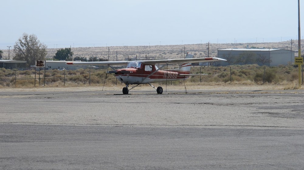
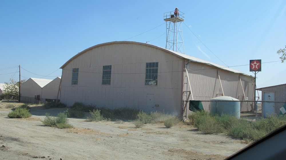
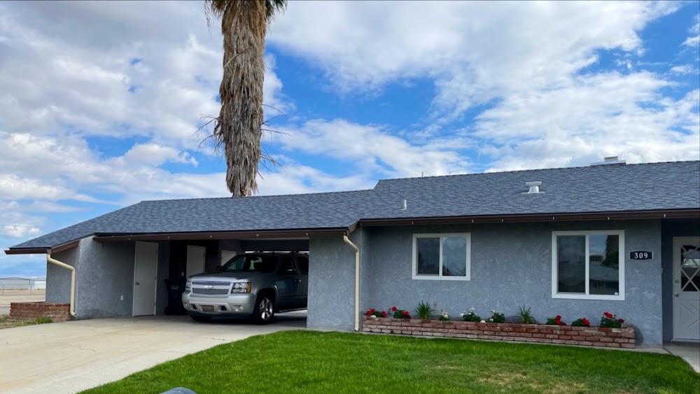
- Airport photos
- Crew car availability
- Webcam links
Location:
Taft, CA
Elevation:
858ft
Sectional:
Los Angeles
Activation date:
Apr 1940
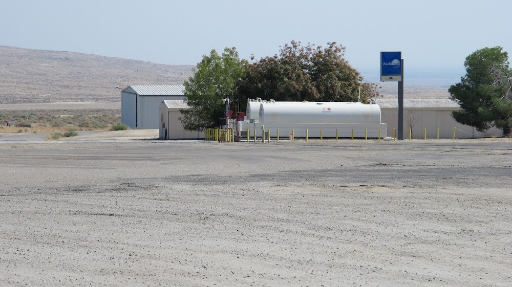
Fuel:
100LL, A (prices)
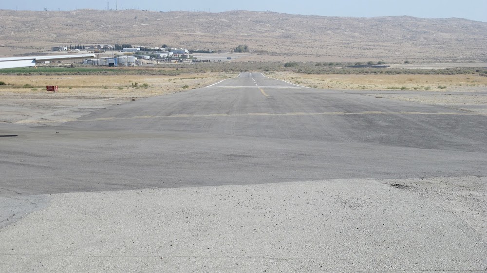
Runway 07/25:
3,283ft
Access: Open to the public
Click/tap to add an annotation marker to the map
No webcams added yet.
Remarks
- Ry 25 steep uphill grade (2.2%).
- Be alert to lgtd cranes within 5 nmr 200' agl and below.
- Ry 07/25 has a dry streambed ne end.
- Ry 07 no tkof with tailwinds.
- No student solo flights permitted.
- For arpt information call (661) 393-7990.
- For cd ctc los angeles artcc at 661-575-2079.
- Mirl ry 07/25 and papi ry 25 night use only actvt- ctaf.
Comments