Pirep is a free, collaborative database of all public and private airports. All pilots are welcome to contribute their local knowledge to any airport, no registration required.


Public
Undocumented
Edit Tags
No upcoming events. Is anything happening here soon?
Airport Statistics
- Crew car availability
- Fuel pump location
- Airport map annotations
Location:
Meadview, AZ
Elevation:
2,941ft
Sectional:
Las Vegas
Activation date:
Oct 1980
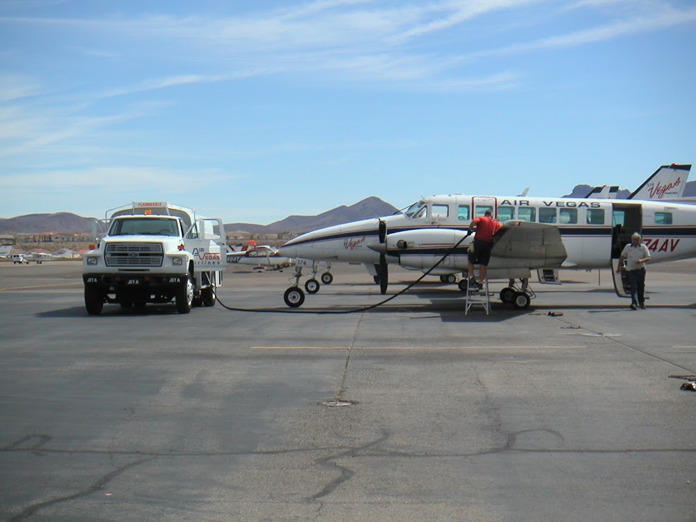
Fuel:
None
Runway 01/19:
2,900ft
Access: Open to the public
Click/tap to add an annotation marker to the map
No webcams added yet.
Remarks
- Vfr, public use.
- Wildlife on & invof arpt.
- Ctn: clsd rwy mkd by tires.
- For cd ctc los angeles artcc at 661-575-2079.
- Emerg - 702-293-8998
- Cntr 50 ft clear of vegetation.
- Signs 1050 ft fm rwy end 90 ft l. 550 ft stwy south of rwy cvrd with lrg rocks & vegetation.
- Signs 200 ft fm rwy end 110 ft l. gravel apron w side of aer.
Comments