Pirep is a free, collaborative database of all public and private airports. All pilots are welcome to contribute their local knowledge to any airport, no registration required.

Public
Undocumented
Edit Tags
No upcoming events. Is anything happening here soon?
Airport Statistics
- Fuel pump location
- Webcam links
- Tags
Location:
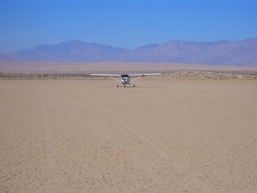
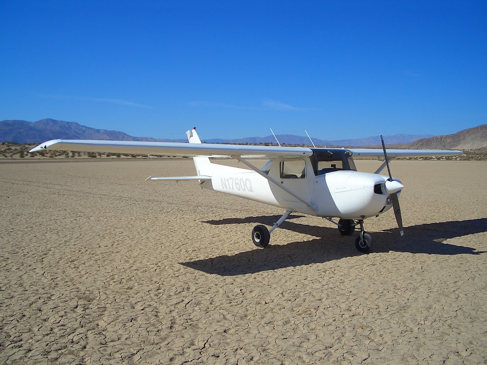
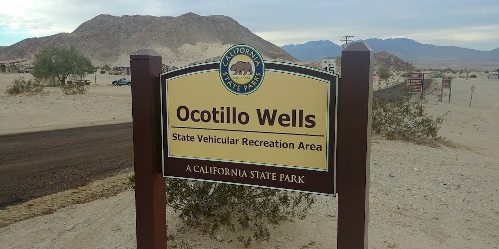
Ocotillo Wells, CA
Elevation:
160ft
Sectional:
Los Angeles
Activation date:
Jun 1948
Fuel:
None
Runway 13/31:
4,210ft
Runway 09/27:
2,330ft
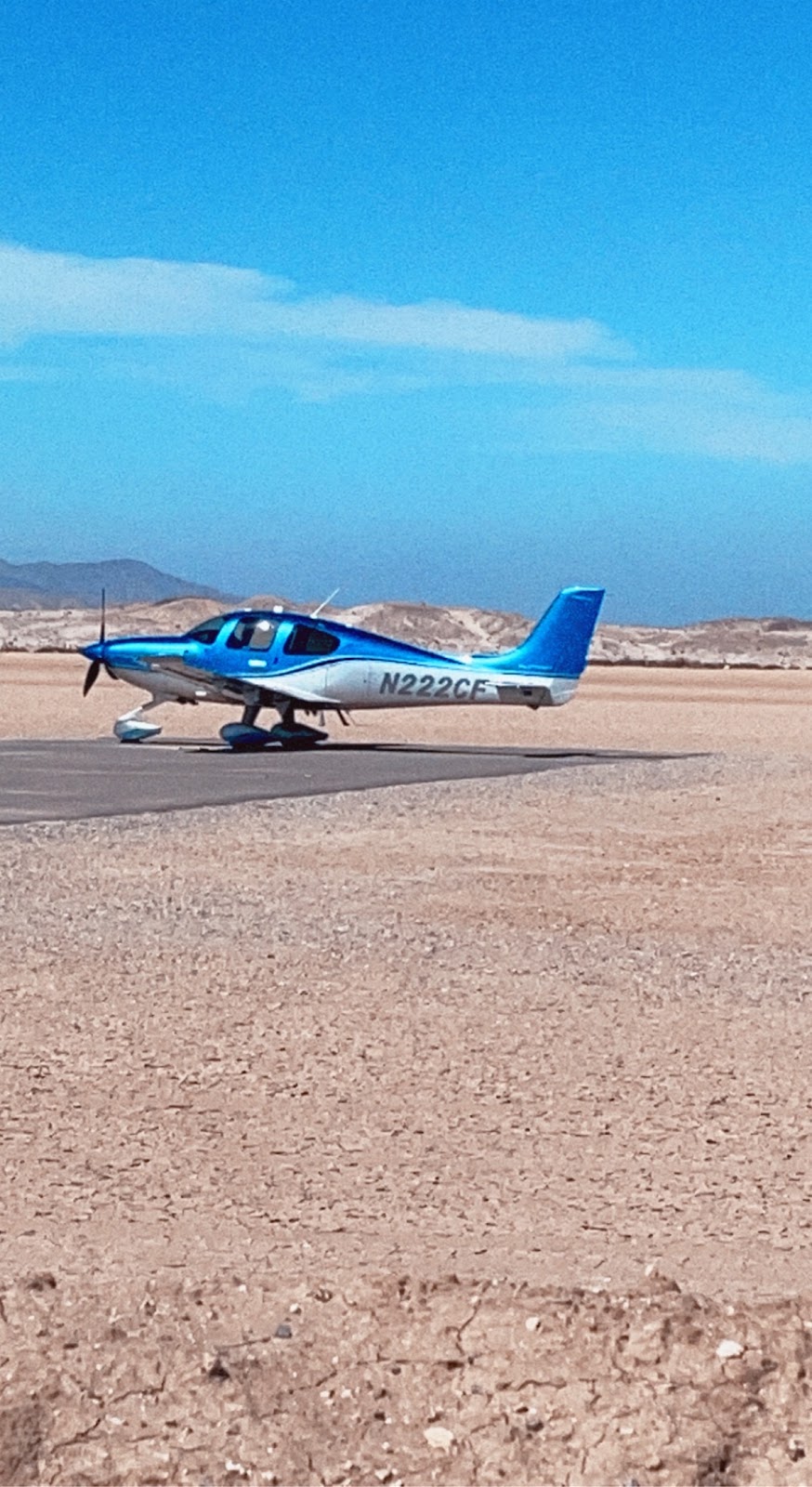
Access: Open to the public
Click/tap to add an annotation marker to the map
No webcams added yet.
Remarks
- Fld unusable when wet.
- Obstn to far part 77, hills surround arpt.
- Rwy 09/27 and rwy 13/31 thlds marked by white paving blocks.
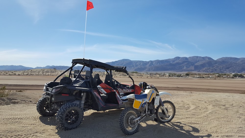
- Ctn for ocnl unauthorized off road vehicles on and in vcnty of rwys and twys.
- All ry intersections marked by white paving blocks.
- Be alert for high spd mil tilt rotor and ultralight ops on and in vcnty of arpt.
- All rwys clsd ss-sr, not lgtd.
- All rdo equipped acft must self-announce on ctaf prior to ldg or dep.
Comments