Pirep is a free, collaborative database of all public and private airports. All pilots are welcome to contribute their local knowledge to any airport, no registration required.

Public
Undocumented
METAR / TAF
Edit Tags
No upcoming events. Is anything happening here soon?
Airport Statistics
- Transient parking location
- Crew car availability
- General description
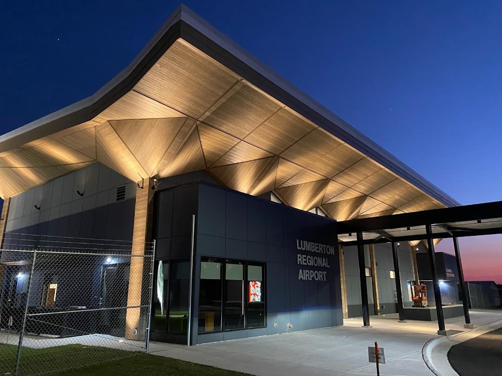
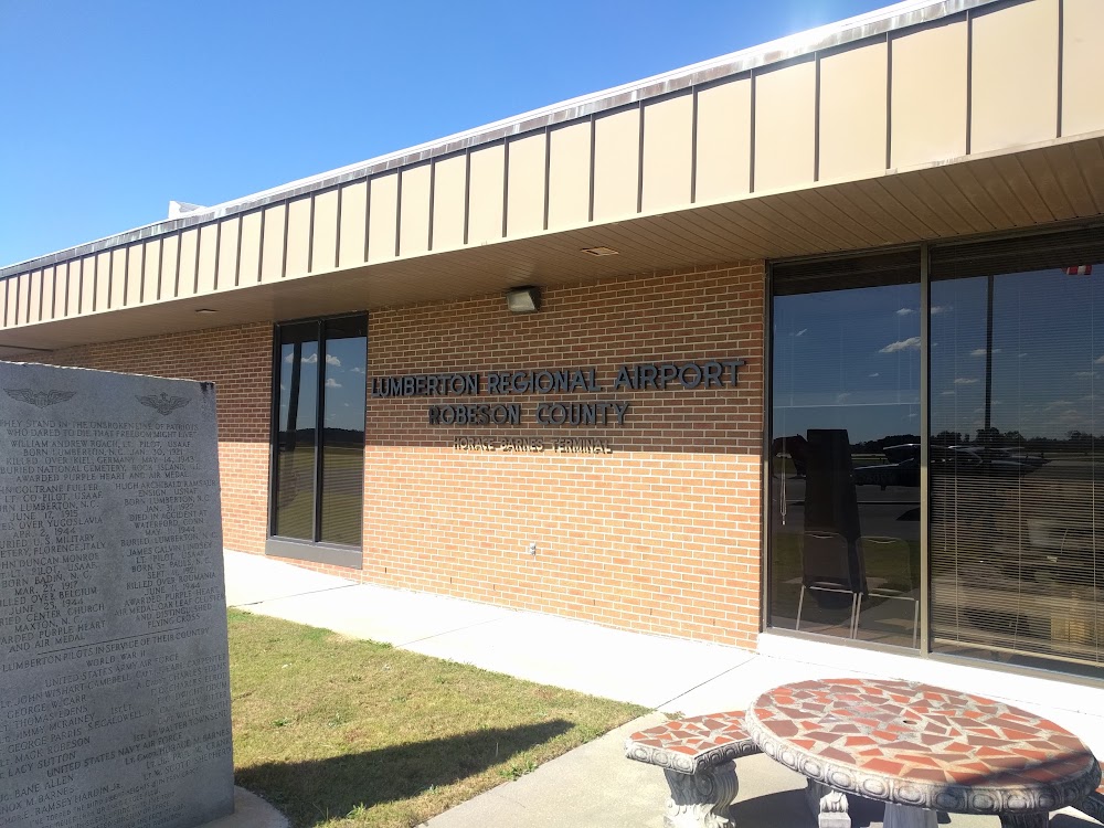
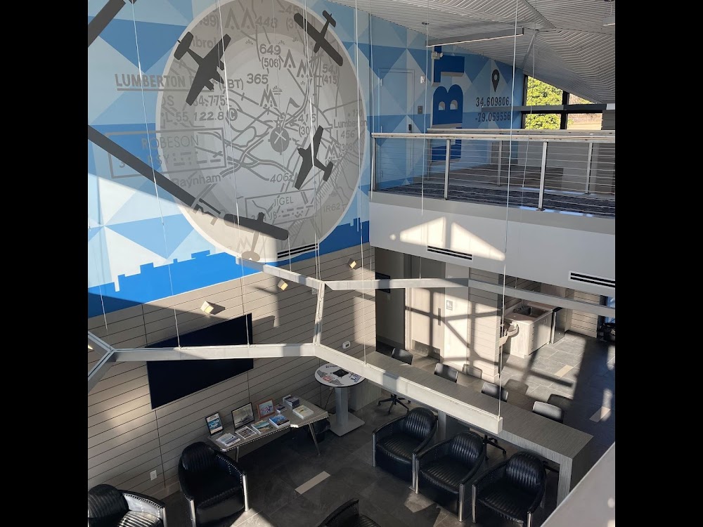
Location:
Lumberton, NC
Elevation:
124ft
Sectional:
Charlotte
Activation date:
Jan 1943
Fuel:
100LL, A1+, MOGAS (prices)
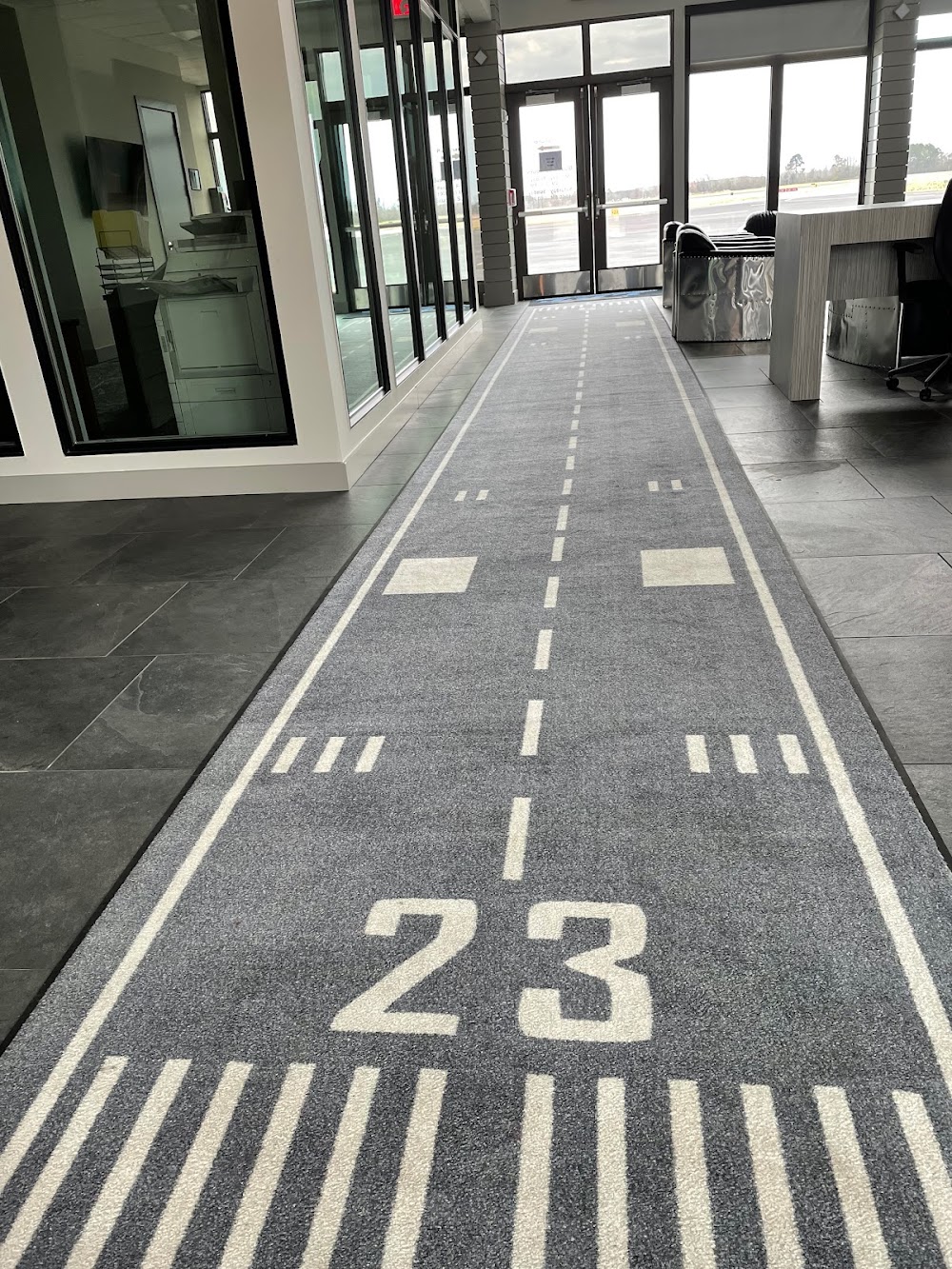
Runway 05/23:
5,505ft
Runway 13/31:
5,007ft
Access: Open to the public
Current Weather — VFR
-
Weather data is strictly informational and not for flight planning purposes.
-
METAR2026-07-20 08:56:00 EDT
Ceiling: Sky clear Wind: 230° @ 6kt Temperature: 82°F Dewpoint: 75°F Weather: N/A Visbility: 10SM Raw:METAR KLBT 201256Z AUTO 23006KT 10SM CLR 28/24 A2996 RMK AO2 SLP145 T02780244 -
TAF2026-07-20 08:00:00 EDT – 2026-07-20 14:00:00 EDT
Ceiling: 5,000ft Wind: 250° @ 6kt Weather: N/A Visbility: 6SM Clouds: Broken @ 5,000ft Raw:TAF KLBT 201120Z 2012/2112 25006KT P6SM BKN050 FM201800 22010KT P6SM SCT200 PROB30 2022/2103 VRB15G25KT 3SM TSRA BR OVC045CB FM210300 20006KT P6SM VCTS SCT040CB BKN250 -
TAF2026-07-20 14:00:00 EDT – 2026-07-20 23:00:00 EDT
Ceiling: Sky clear Wind: 220° @ 10kt Weather: N/A Visbility: 6SM Clouds: Scattered @ 20,000ft Raw:TAF KLBT 201120Z 2012/2112 25006KT P6SM BKN050 FM201800 22010KT P6SM SCT200 PROB30 2022/2103 VRB15G25KT 3SM TSRA BR OVC045CB FM210300 20006KT P6SM VCTS SCT040CB BKN250 -
TAF2026-07-20 18:00:00 EDT – 2026-07-20 23:00:00 EDT
Ceiling: 4,500ft Wind: Variable, gusts 25kt Weather: Thunderstorm rain, mist Visbility: 3SM Clouds: Overcast @ 4,500ft Raw:TAF KLBT 201120Z 2012/2112 25006KT P6SM BKN050 FM201800 22010KT P6SM SCT200 PROB30 2022/2103 VRB15G25KT 3SM TSRA BR OVC045CB FM210300 20006KT P6SM VCTS SCT040CB BKN250 -
TAF2026-07-20 23:00:00 EDT – 2026-07-21 08:00:00 EDT
Ceiling: 25,000ft Wind: 200° @ 6kt Weather: Thunderstorm in vicinity Visbility: 6SM Clouds: Scattered @ 4,000ft, Broken @ 25,000ft Raw:TAF KLBT 201120Z 2012/2112 25006KT P6SM BKN050 FM201800 22010KT P6SM SCT200 PROB30 2022/2103 VRB15G25KT 3SM TSRA BR OVC045CB FM210300 20006KT P6SM VCTS SCT040CB BKN250
Click/tap to add an annotation marker to the map
No webcams added yet.
Remarks
- This airport has been surveyed by the national geodetic survey.
- Rwys 05/23 & 13/31 no ln of sight btn rwy ends.
- Deer & birds on & invof arpt.
- Farming ops near rwys and twys.
- For cd ctc washington artcc at 703-771-3587.
- Actvt reil rwy 05 & 23; papi rwy 05 & 23; mirl rwy 05/23 - ctaf.
- Unatndd christmas & thanksgiving.
- 100ll fuel 24 hr credit card svc avbl.
Comments