Pirep is a free, collaborative database of all public and private airports. All pilots are welcome to contribute their local knowledge to any airport, no registration required.
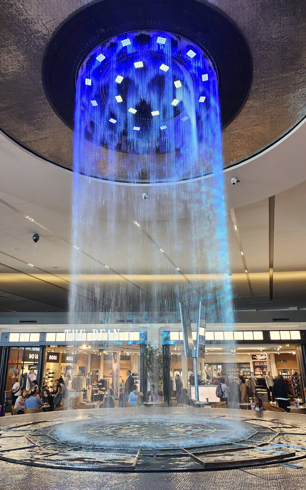
Attribution:
Lin Den
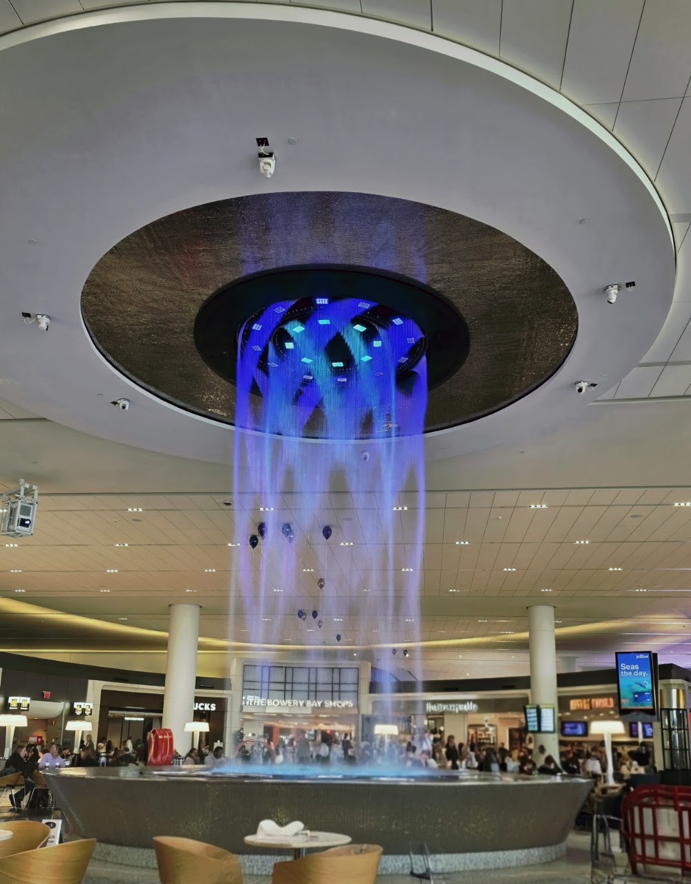
Attribution:
Justin N.
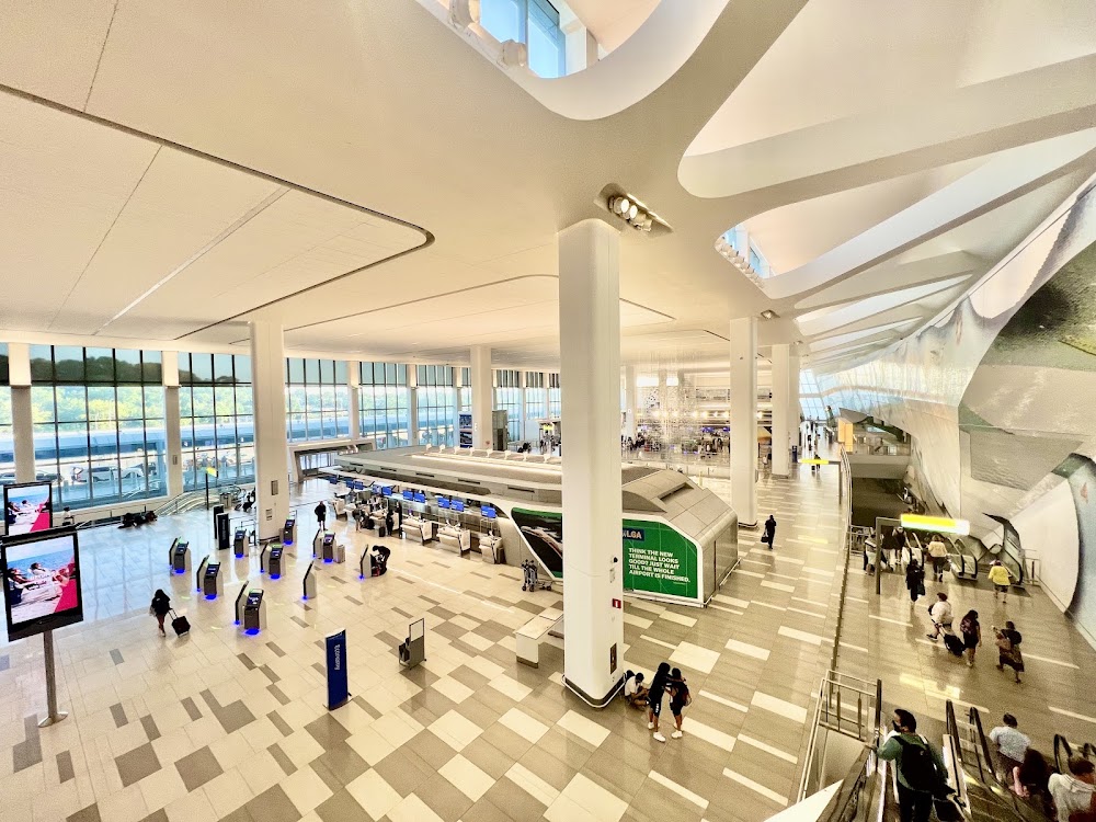
Attribution:
Jose Vieitez
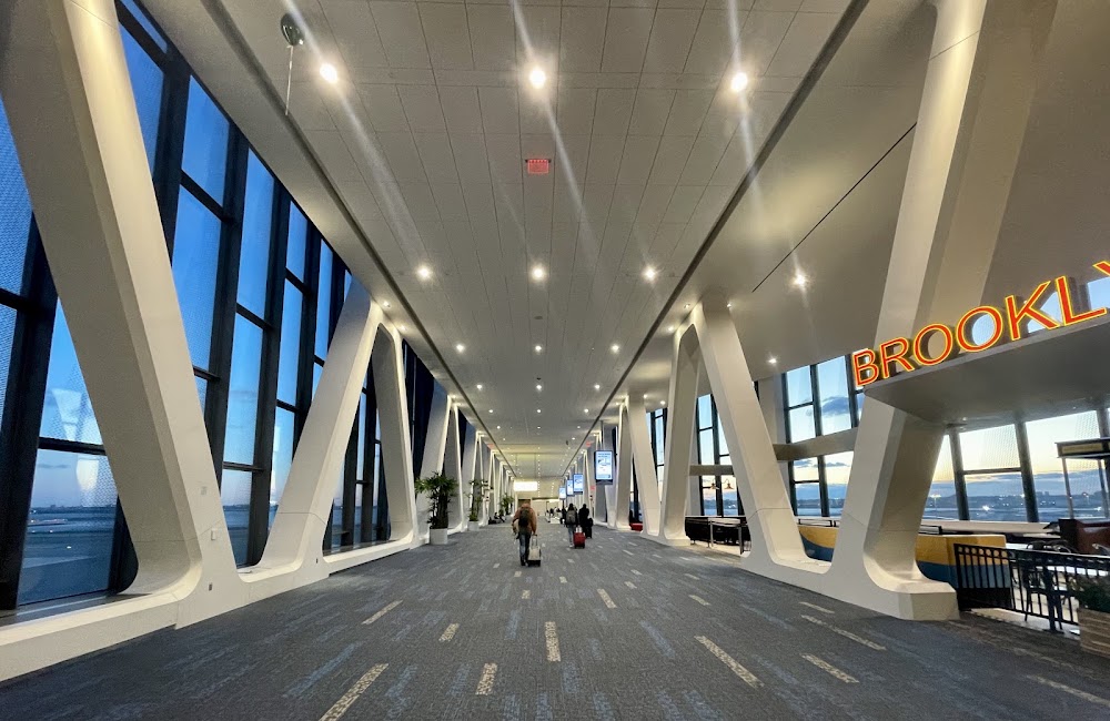
Attribution:
Jiang Li
Attribution:
Ethan Bregman
Attribution:
Apple Is A Manhattanite
Attribution:
Leslie Faulkner
Attribution:
Andrew Kline
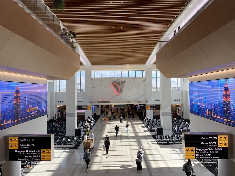
Attribution:
Matthew Stone
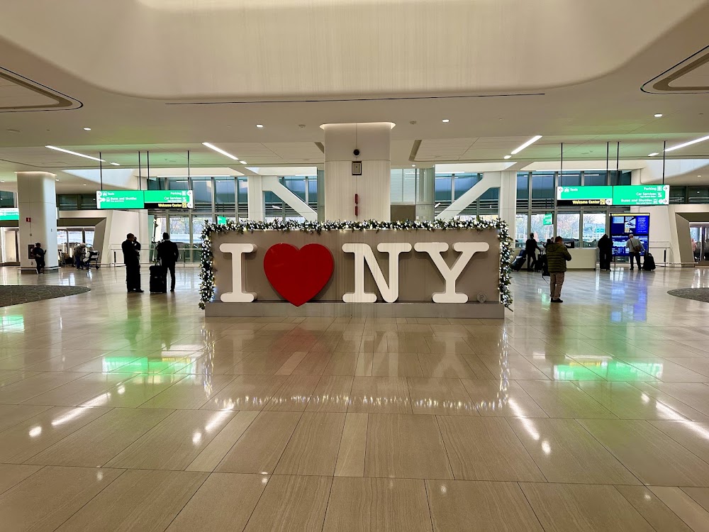
Attribution:
G Tenewitz
Public
Undocumented
METAR / TAF
Edit Tags
No upcoming events. Is anything happening here soon?
Airport Statistics
- Fuel pump location
- Landing & tie-down fees
- Airport photos
Location:
New York, NY
Elevation:
20ft
Sectional:
New York
Fuel:
100LL, A
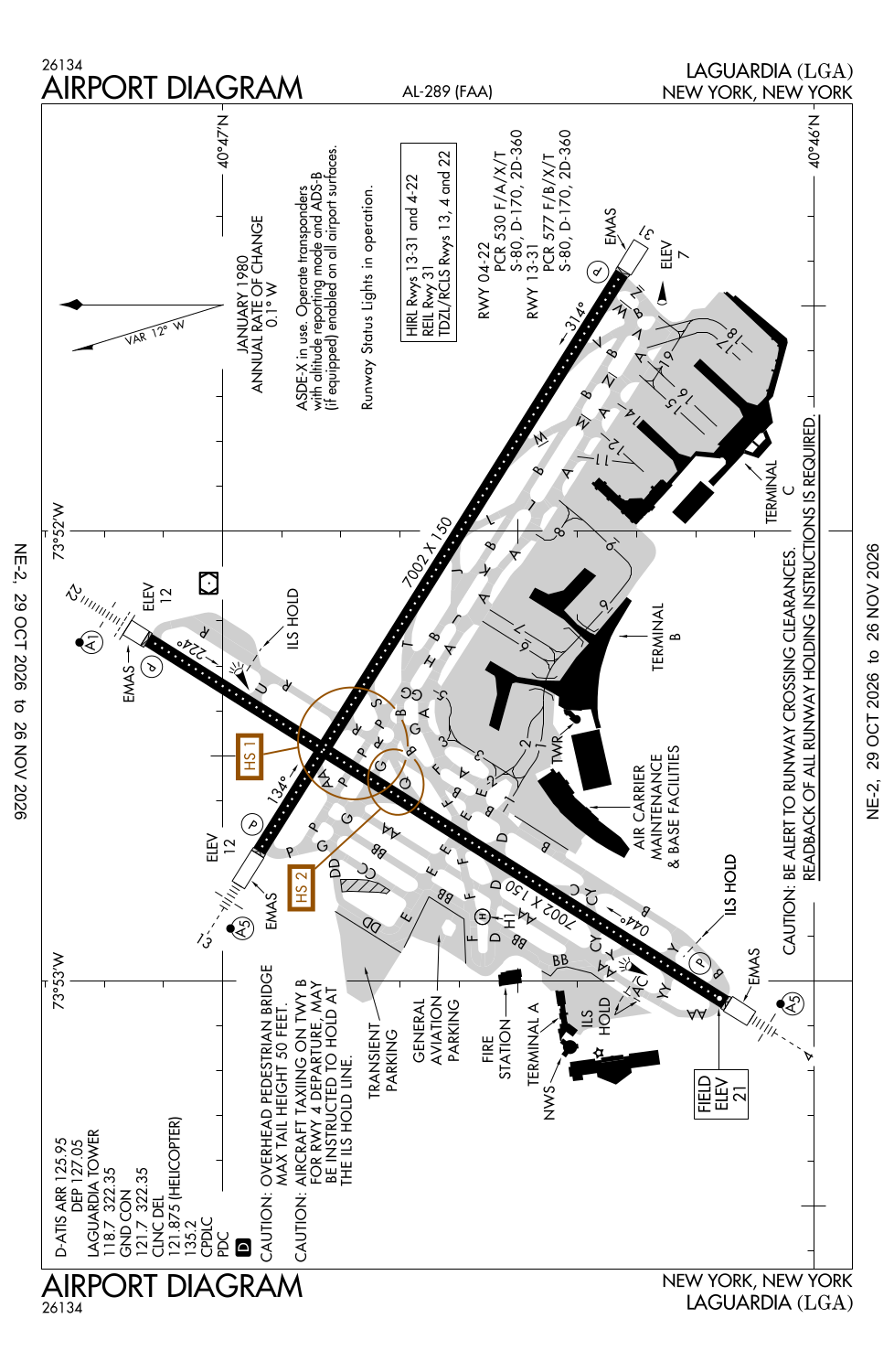
Runway 04/22:
7,002ft
Runway 13/31:
7,002ft
Runway H1:
45ft
Runway 22X:
0ft
Access: Open to the public
Current Weather — VFR
-
Weather data is strictly informational and not for flight planning purposes.
-
METAR2026-11-14 13:51:00 EST
Ceiling: 4,700ft Wind: 300° @ 14kt, gusts 20kt Temperature: 44°F Dewpoint: 32°F Weather: N/A Visbility: 10SM Clouds: Few @ 3,300ft, Broken @ 4,700ft, Broken @ 5,500ft Raw:METAR KLGA 141851Z 30014G20KT 10SM FEW033 BKN047 BKN055 07/00 A2976 RMK AO2 PK WND 31026/1805 SLP078 T00720000 $ -
TAF2026-11-14 13:00:00 EST – 2026-11-14 17:00:00 EST
Ceiling: 4,000ft Wind: 320° @ 14kt, gusts 23kt Weather: N/A Visbility: 6SM Clouds: Broken @ 4,000ft, Broken @ 10,000ft Raw:TAF KLGA 141737Z 1418/1524 32014G23KT P6SM BKN040 BKN100 FM142200 30014G22KT P6SM BKN040 BKN100 FM151500 33015G23KT P6SM SCT040 BKN100 -
TAF2026-11-14 17:00:00 EST – 2026-11-15 10:00:00 EST
Ceiling: 4,000ft Wind: 300° @ 14kt, gusts 22kt Weather: N/A Visbility: 6SM Clouds: Broken @ 4,000ft, Broken @ 10,000ft Raw:TAF KLGA 141737Z 1418/1524 32014G23KT P6SM BKN040 BKN100 FM142200 30014G22KT P6SM BKN040 BKN100 FM151500 33015G23KT P6SM SCT040 BKN100 -
TAF2026-11-15 10:00:00 EST – 2026-11-15 19:00:00 EST
Ceiling: 10,000ft Wind: 330° @ 15kt, gusts 23kt Weather: N/A Visbility: 6SM Clouds: Scattered @ 4,000ft, Broken @ 10,000ft Raw:TAF KLGA 141737Z 1418/1524 32014G23KT P6SM BKN040 BKN100 FM142200 30014G22KT P6SM BKN040 BKN100 FM151500 33015G23KT P6SM SCT040 BKN100
Click/tap to add an annotation marker to the map
No webcams added yet.
Remarks
- This airport has been surveyed by the national geodetic survey.
- Flocks of birds on & invof arpt.
- Special air tfc rules-part 93; high density arpt; prior rsvn rqrd; see aim.
- Mag anomalies may affect compass hdg when using extension rwys 13 & 22 for tkof.
- Twys g, p, r & u concrete deck rstd to 5kt turns; 10kts straight.
Comments