Pirep is a free, collaborative database of all public and private airports. All pilots are welcome to contribute their local knowledge to any airport, no registration required.
Public
Undocumented
METAR / TAF
Edit Tags
No upcoming events. Is anything happening here soon?
Airport Statistics
- Airport map annotations
- Transient parking location
- Webcam links
Location:
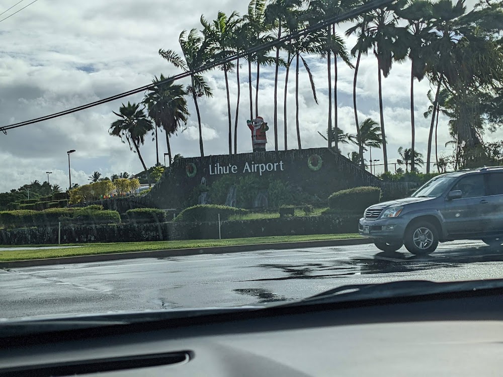
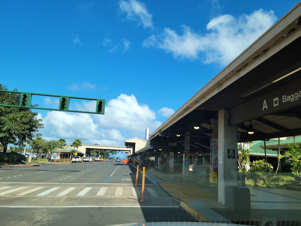
Lihue, HI
Elevation:
152ft
Sectional:
Hawaiian Islands
Activation date:
Mar 1950
Fuel:
100, A (prices)
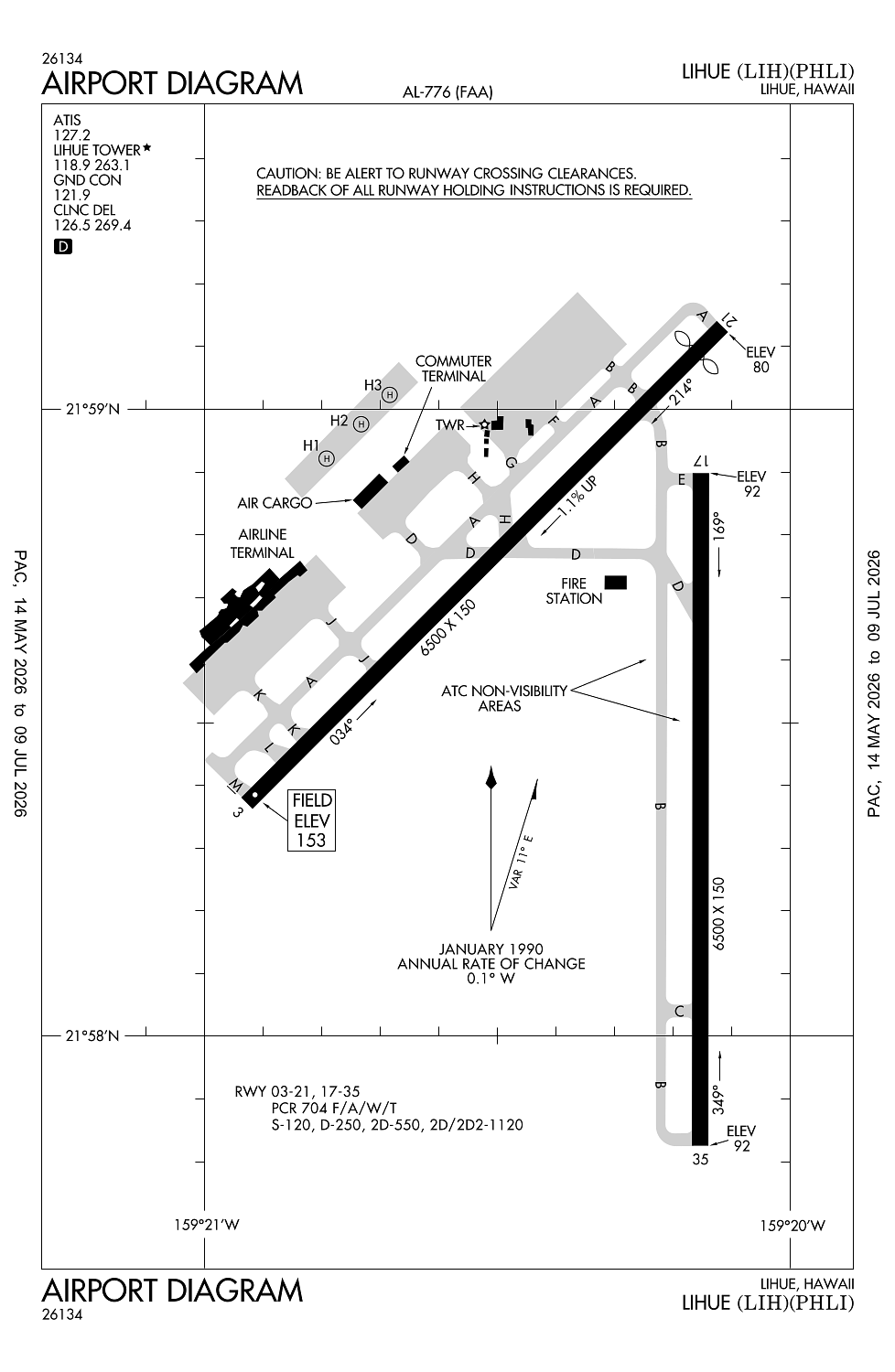
Runway 03/21:
6,500ft
Runway 17/35:
6,500ft
Runway H1:
40ft
Runway H2:
40ft
Runway H3:
40ft
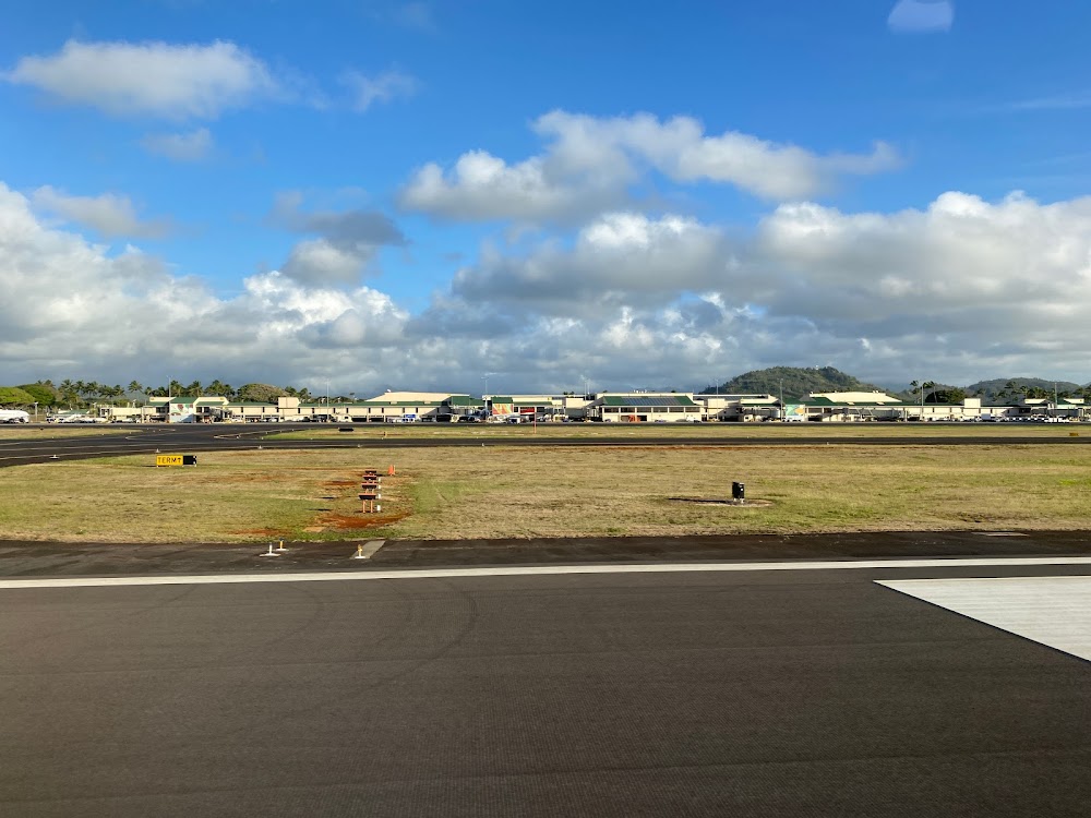
Access: Open to the public
Current Weather — VFR
-
Weather data is strictly informational and not for flight planning purposes.
-
METAR2026-07-16 05:53:00 HST
Ceiling: Sky clear Wind: 080° @ 12kt Temperature: 77°F Dewpoint: 71°F Weather: N/A Visbility: 10SM Clouds: Few @ 2,000ft, Scattered @ 2,700ft, Scattered @ 5,000ft Raw:METAR PHLI 161553Z AUTO 08012KT 10SM FEW020 SCT027 SCT050 25/22 A2996 RMK AO2 SLP143 T02500217 $ -
TAF2026-07-16 02:00:00 HST – 2026-07-16 10:00:00 HST
Ceiling: Sky clear Wind: 090° @ 14kt Weather: Showers in vicinity Visbility: 6SM Clouds: Few @ 1,500ft, Scattered @ 2,500ft Raw:TAF PHLI 161120Z 1612/1712 09014KT P6SM VCSH FEW015 SCT025 FM162000 07012KT P6SM FEW025 SCT045 FM170600 06011KT P6SM VCSH SCT025 BKN040 -
TAF2026-07-16 10:00:00 HST – 2026-07-16 20:00:00 HST
Ceiling: Sky clear Wind: 070° @ 12kt Weather: N/A Visbility: 6SM Clouds: Few @ 2,500ft, Scattered @ 4,500ft Raw:TAF PHLI 161120Z 1612/1712 09014KT P6SM VCSH FEW015 SCT025 FM162000 07012KT P6SM FEW025 SCT045 FM170600 06011KT P6SM VCSH SCT025 BKN040 -
TAF2026-07-16 20:00:00 HST – 2026-07-17 02:00:00 HST
Ceiling: 4,000ft Wind: 060° @ 11kt Weather: Showers in vicinity Visbility: 6SM Clouds: Scattered @ 2,500ft, Broken @ 4,000ft Raw:TAF PHLI 161120Z 1612/1712 09014KT P6SM VCSH FEW015 SCT025 FM162000 07012KT P6SM FEW025 SCT045 FM170600 06011KT P6SM VCSH SCT025 BKN040
Click/tap to add an annotation marker to the map
No webcams added yet.
Remarks
- <crash & fire equipment avbl 24 hrs.
- Stadium flood lights 125 ft agl/282 ft msl/ 2400 ft sw from rwy 03 thr.
- Intxn deps fm twy d on ry 17/35 not authorized.
- Ppr for transportation of div 1.1, 1.2, 1.3, 1.4 explosives and hazmat in and out of arpt. call arpt ops at 808-651-6255.
- Military acft make fuel arrangements before arrival.
Comments