Pirep is a free, collaborative database of all public and private airports. All pilots are welcome to contribute their local knowledge to any airport, no registration required.
No upcoming events. Is anything happening here soon?
Last updated: 2023-08-23 22:46:22 PDT
Last updated: 2023-08-23 22:46:22 PDT
Airport Statistics
- Airport map annotations
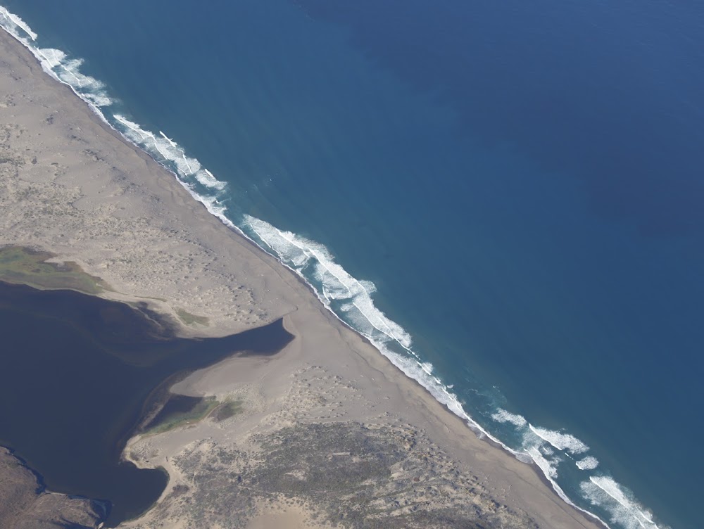
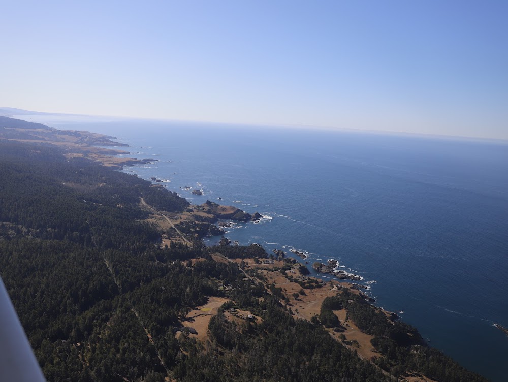
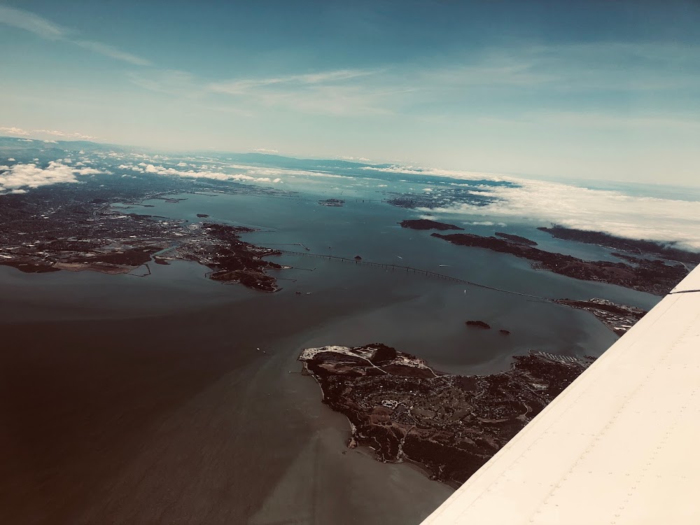
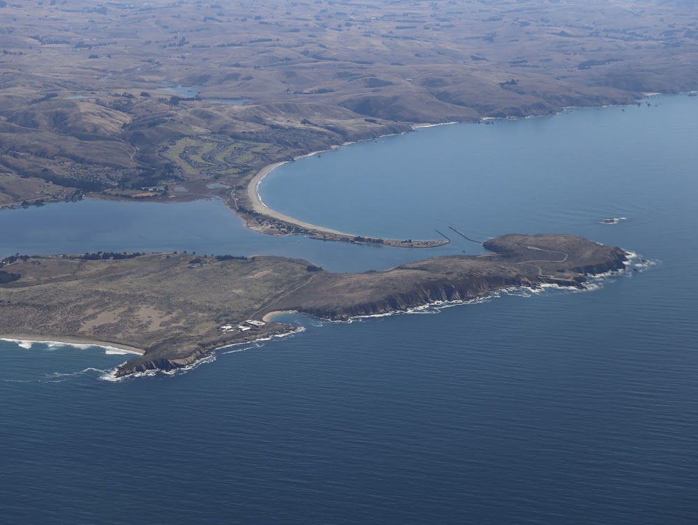
- Airport photos
- Local flying clubs
Location:
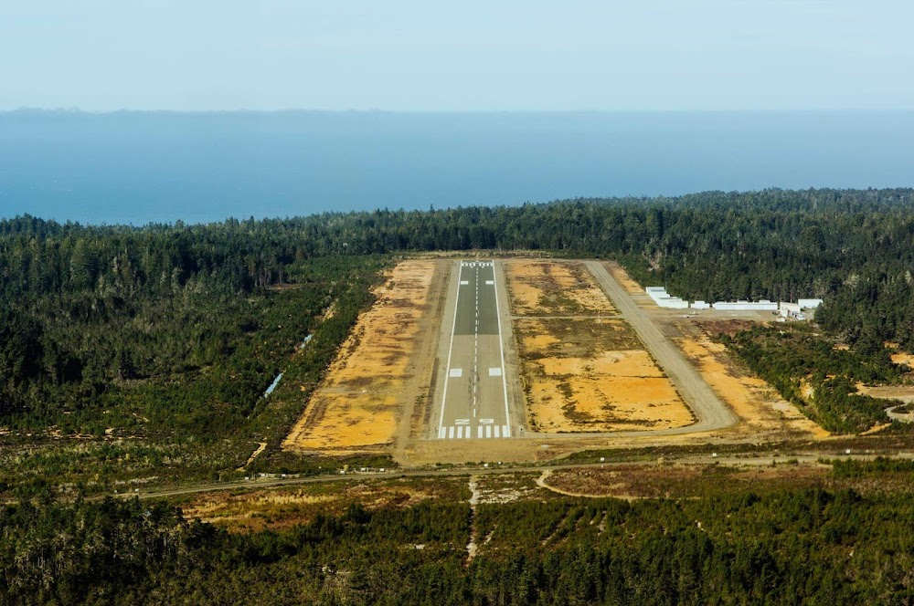
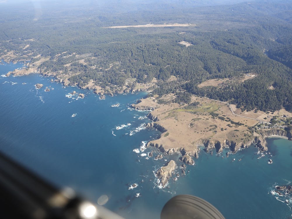
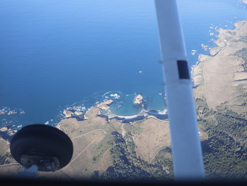
Little River, CA
Elevation:
573ft
Sectional:
San Francisco
Activation date:
Dec 1944
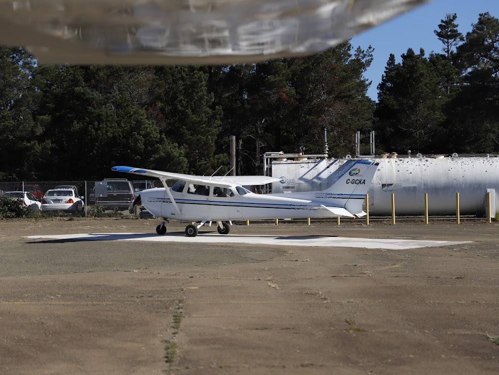
Fuel:
100LL (prices)
Runway 11/29:
5,249ft
Access: Open to the public
Similar Airports

Current Weather — VFR
-
Weather data is strictly informational and not for flight planning purposes.
-
METAR2026-07-15 19:15:00 PDT
Ceiling: Sky clear Wind: 310° @ 7kt Temperature: 60°F Dewpoint: 51°F Weather: N/A Visbility: 10SM Raw:METAR KLLR 160215Z AUTO 31007KT 10SM CLR 16/11 A2997 RMK A01
Click/tap to add an annotation marker to the map
No webcams added yet.
Remarks
- Estabd prior 5/15/59.
- For arpt attendant ctc (707) 937-5129.
- For cd ctc oakland artcc at 510-745-3380.
- Actvt papi rwy 29; mirl rwy 11/29 - ctaf
- Automated unicom.
- Director of transportation
- Rwy 11 apch ratio 31:1 to dsplcd thr over +35' trees @ 1200', 312' right fm eor.
- For arpt attendant ctc 707-367-1137.
Comments