Pirep is a free, collaborative database of all public and private airports. All pilots are welcome to contribute their local knowledge to any airport, no registration required.


Public
Undocumented
METAR / TAF
Edit Tags
No upcoming events. Is anything happening here soon?
Airport Statistics
- WiFi availability
- General description
- Fuel pump location
Location:
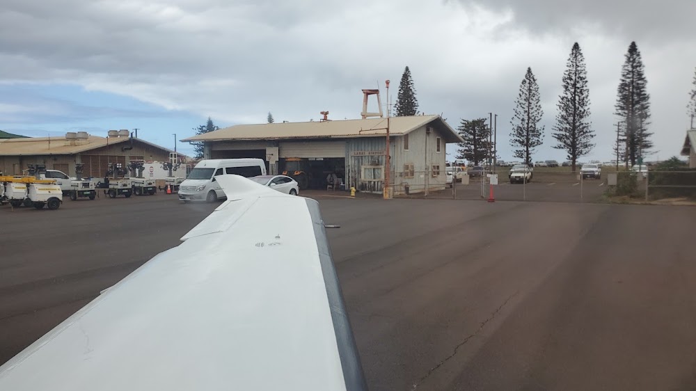
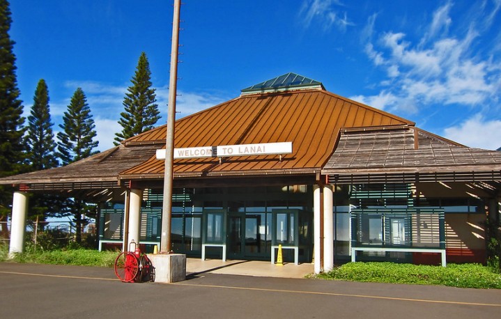
Lanai City, HI
Elevation:
1,308ft
Sectional:
Hawaiian Islands
Activation date:
Sep 1946
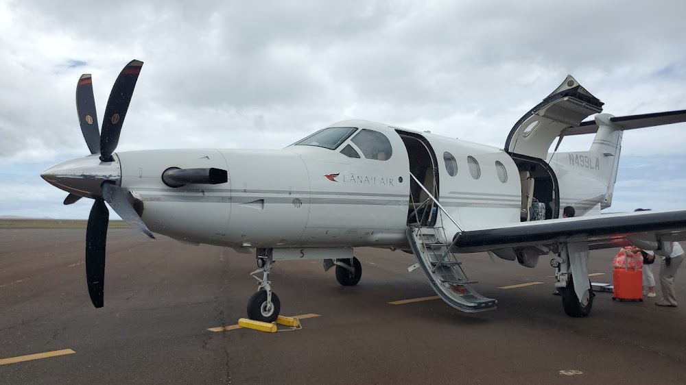
Fuel:
A (prices)
Runway 03/21:
5,001ft
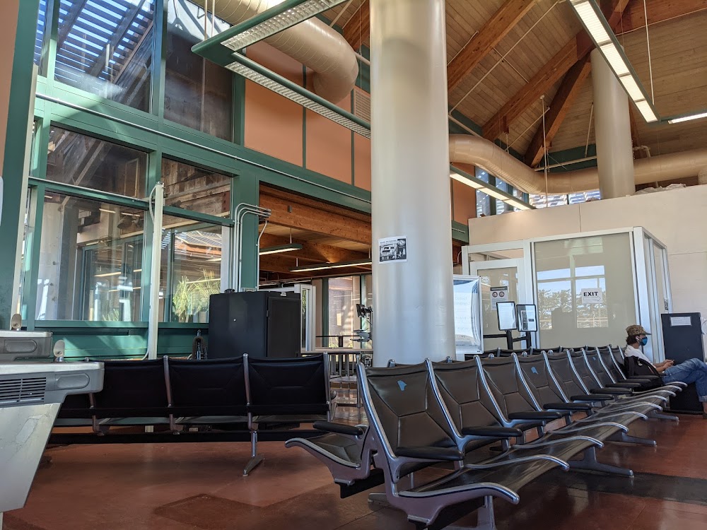
Access: Open to the public
Current Weather — VFR
-
Weather data is strictly informational and not for flight planning purposes.
-
METAR2026-07-19 16:56:00 HST
Ceiling: Sky clear Wind: 030° @ 18kt, gusts 25kt Temperature: 78°F Dewpoint: 66°F Weather: N/A Visbility: 10SM Raw:METAR PHNY 200256Z AUTO 03018G25KT 10SM CLR 26/19 A2998 RMK AO2 SLP131 T02560194 53000 $ -
TAF2026-07-19 14:00:00 HST – 2026-07-20 14:00:00 HST
Ceiling: Sky clear Wind: 040° @ 15kt Weather: N/A Visbility: 6SM Clouds: Scattered @ 3,500ft Raw:TAF PHNY 192320Z 2000/2024 04015KT P6SM SCT035
Click/tap to add an annotation marker to the map
No webcams added yet.
Remarks
- This airport has been surveyed by the national geodetic survey.
- Dusk-dawn.
- Arpt closed to air carrier ops with 10 or more passenger seats 1930-0600 except ppr, call 808-565-7942.
- See area notices, tfc advys at non-twr arpts.
- 24 hrs ppr for division 1.1,1.2,1.3 explosives and 4 hrs ppr for hazardous material in/out of arpt ctc 808-565-7941/7943.
- Due to ramp limitations all acft parking limited to one hr excp via ppr call 808-565-7942; fax 808-565-7940 or 808-872-3880.
- Jet prkg sw side of ramp is conc.
- Possible severe updrafts/downdrafts from 2 mile final approach to runway 3 threshhold.
Comments