Pirep is a free, collaborative database of all public and private airports. All pilots are welcome to contribute their local knowledge to any airport, no registration required.
Attribution:
Howard Wallace
Attribution:
Donald Boden

Attribution:
Donald Boden
Attribution:
Donald Boden
Attribution:
Donald Boden
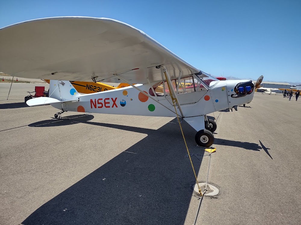
Attribution:
Donald Boden
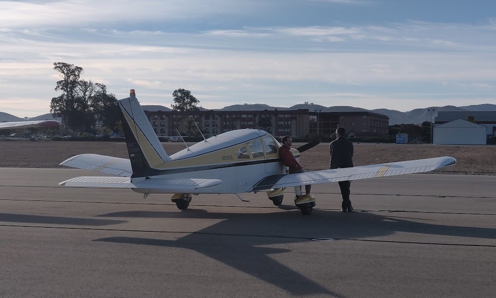
Attribution:
Gabriel Hershberger
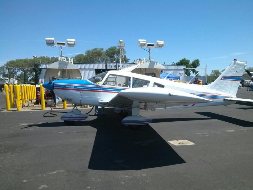
Attribution:
Mackenzie Clarke
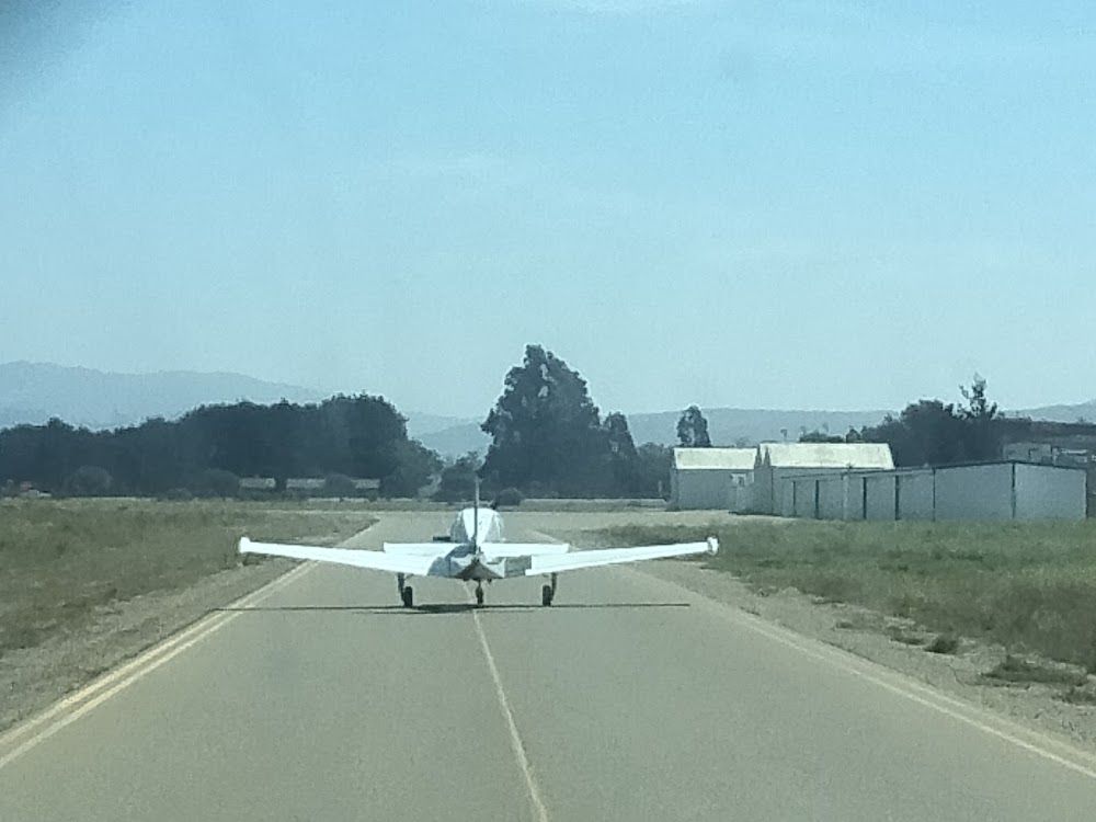
Attribution:
JPTV2
Attribution:
Theresa Thompson
Public
Undocumented
METAR / TAF
Edit Tags
No upcoming events. Is anything happening here soon?
Airport Statistics
- Crew car availability
- Tags
- Local flying clubs
Location:
Lompoc, CA
Elevation:
88ft
Sectional:
Los Angeles
Activation date:
Mar 1962
Fuel:
100LL, A
Runway 07/25:
4,600ft
Access: Open to the public
Current Weather — VFR
-
Weather data is strictly informational and not for flight planning purposes.
-
METAR2026-10-25 08:51:00 PDT
Ceiling: Sky clear Wind: 090° @ 3kt Temperature: 57°F Dewpoint: 53°F Weather: N/A Visbility: 10SM Raw:METAR KLPC 251551Z AUTO 09003KT 10SM CLR 14/12 A3008 RMK AO2 SLP185 T01390122
Click/tap to add an annotation marker to the map
No webcams added yet.
Remarks
- Deer on & invof arpt.
- Ultralight and skydiving act in vcnty of arpt dalgt hrs mon-sun. xng mid-fld dur skydiving ops not adzd.
- For cd ctc los angeles artcc at 661-575-2079.
- Actvt reil rwy 25; mirl rwy 07/25 - ctaf. papi rwy 25 on consly.
- Atndd by fbo, phone 805-717-3558.
- Fuel avbl 24 hrs; self-service credit card only.
- Twy lgts ots ufn.
Comments