Pirep is a free, collaborative database of all public and private airports. All pilots are welcome to contribute their local knowledge to any airport, no registration required.



Public
Undocumented
METAR / TAF
Edit Tags
No upcoming events. Is anything happening here soon?
Airport Statistics
- Crew car availability
- Fuel pump location
- Tags
Location:
Mount Pleasant, SC
Elevation:
11ft
Sectional:
Charlotte
Activation date:
Jul 1986
Fuel:
100LL, A
Runway 17/35:
3,700ft
Access: Open to the public
Current Weather — MVFR
-
Weather data is strictly informational and not for flight planning purposes.
-
METAR2026-10-24 23:15:00 EDT
Ceiling: 2,800ft Wind: Variable, gusts 12kt Temperature: 62°F Dewpoint: 57°F Weather: N/A Visbility: 10SM Clouds: Scattered @ 2,200ft, Broken @ 2,800ft Raw:METAR KLRO 250315Z AUTO VRB06G12KT 10SM SCT022 BKN028 17/14 A3034 RMK AO2
Click/tap to add an annotation marker to the map
No webcams added yet.
Remarks
- Providing vfr; wilson memorial arpt will be closed when east cooper arpt becomes operational.
- Two 2000 ft towers approx 4-6 miles east of arpt.
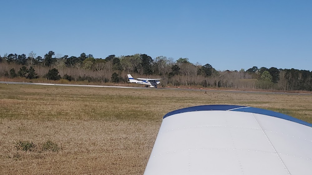
- Deer & birds on & invof arpt.
- For cd ctc charleston apch at 843-414-2832.
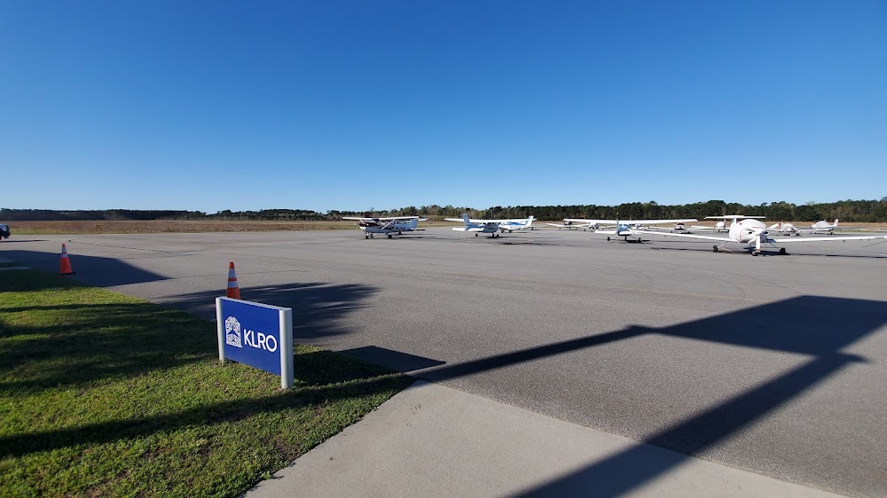
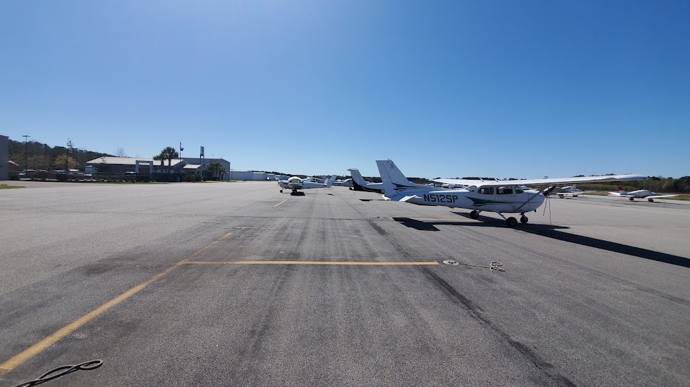
- Txg on the fnt line of the fbo ramp, in fnt of the trml, will be rstrd to acft with a wingspan less than 38 ft. no acft, with a wingspan that exceeds 38 ft, is pmtd to park on the fnt line of the fbo ramp or tax through the fnt taxilane in fnt of the trml as it exceeds safety limits and wing tip clearances. acft with wingspans exceeding 38 ft must ctc the arpt fbo in advance at 843-884-8837 for prkg and cdn prior to arr and must tax through the cntr and out taxilanes of the fbo ramp.
- Actvt papi rwy 17 & 35; mirl rwy 17/35 - ctaf.
- Tpa: 988 ft agl.
Comments