Pirep is a free, collaborative database of all public and private airports. All pilots are welcome to contribute their local knowledge to any airport, no registration required.

Public
Undocumented
METAR / TAF
Edit Tags
No upcoming events. Is anything happening here soon?
Airport Statistics
- Landing & tie-down fees
- Webcam links
- Airport map annotations
Location:
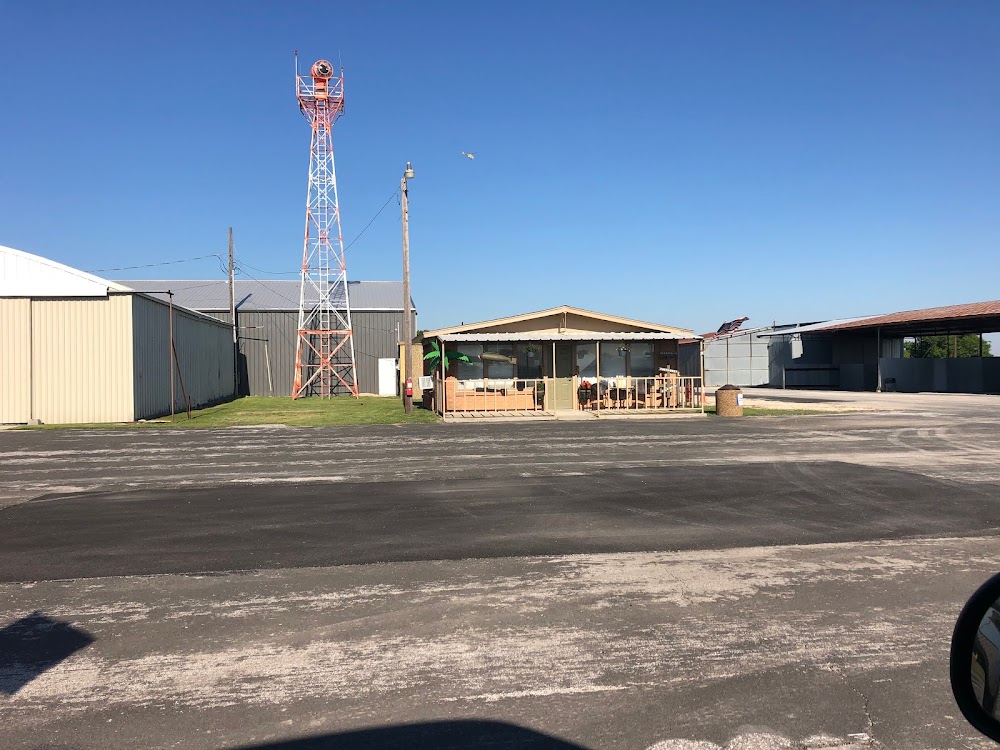
Decatur, TX
Elevation:
1,046ft
Sectional:
Dallas Ft Worth
Activation date:
Jan 1947
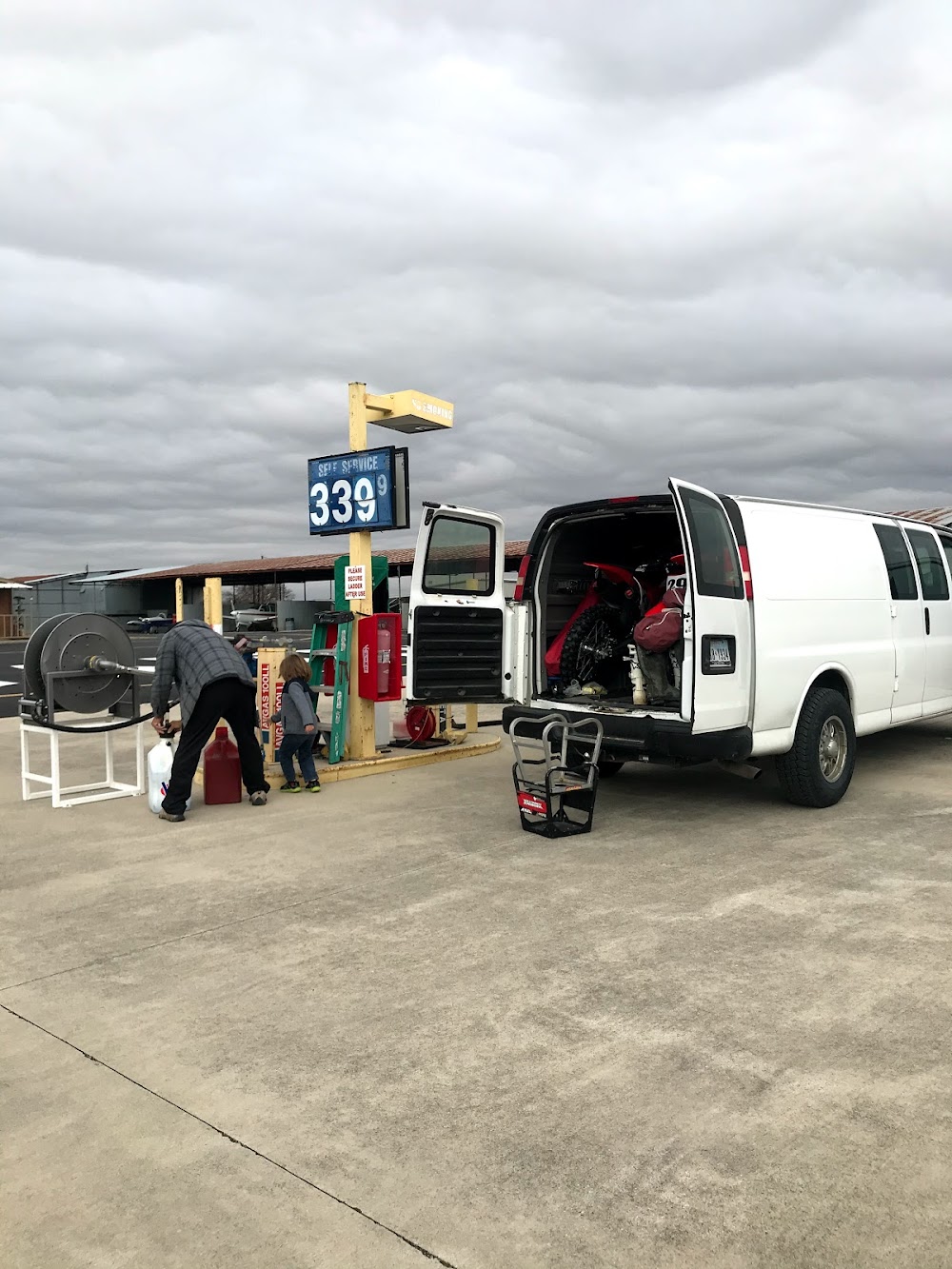
Fuel:
100LL, A (prices)
Runway 17/35:
4,200ft
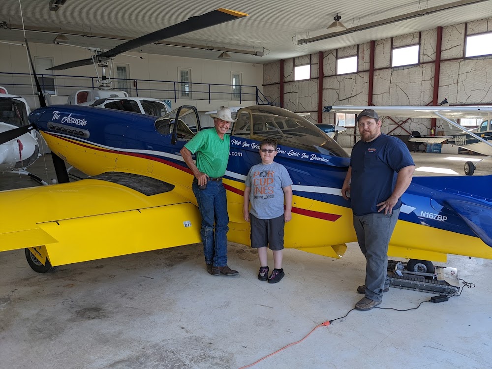
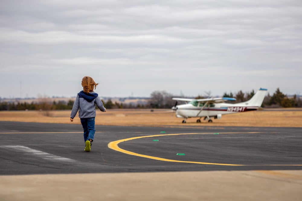
Access: Open to the public
Current Weather — VFR
-
Weather data is strictly informational and not for flight planning purposes.
-
METAR2026-07-21 01:15:00 CDT
Ceiling: Sky clear Wind: 170° @ 7kt Temperature: 85°F Dewpoint: 65°F Weather: N/A Visbility: 7SM Raw:METAR KLUD 210615Z AUTO 17007KT 7SM CLR 30/18 A2991 RMK AO2 T02950184
Click/tap to add an annotation marker to the map
No webcams added yet.
Remarks
- Gnd drops sharply 160 ft north of rwy 17 thr.
- Deer and wildlife on & invof arpt.
- For cd ctc lone star apch at 972-615-2799.
- Due to rwy elev chg, acft not vsb at opposite end.
- Dusk-dawn. mirl rwy 17/35 preset low intst; to incr intst actvt - ctaf.
- Dir of public works/amgr addnl phone: 940-393-0262.
- Also 30 ft mkd pline, 770 ft dstc, acrs apch.
- 20 ft trees, 140-199 ft dstc, 150-250 ft r.
Comments