Pirep is a free, collaborative database of all public and private airports. All pilots are welcome to contribute their local knowledge to any airport, no registration required.
Public
Undocumented
METAR / TAF
Edit Tags
No upcoming events. Is anything happening here soon?
Airport Statistics
- Tags
- General description
- Airport map annotations
Location:
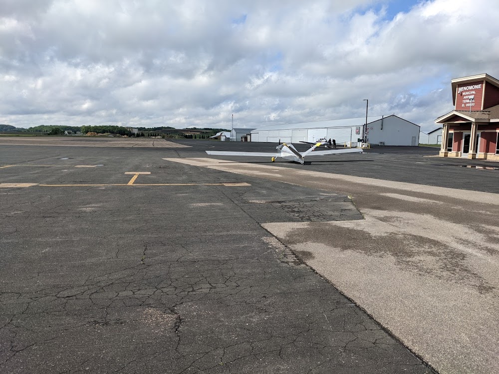
Menomonie, WI
Elevation:
895ft
Sectional:
Green Bay
Activation date:
Jun 1986
Fuel:
100LL, A+ (prices)
Runway 09/27:
5,074ft
Runway 18/36:
3,470ft
Access: Open to the public
Current Weather — VFR
-
Weather data is strictly informational and not for flight planning purposes.
-
METAR2026-07-20 15:15:00 CDT
Ceiling: 3,200ft Wind: 230° @ 16kt Temperature: 86°F Dewpoint: 73°F Weather: N/A Visbility: 10SM Clouds: Broken @ 3,200ft, Overcast @ 3,800ft Raw:METAR KLUM 202015Z AUTO 23016KT 10SM BKN032 OVC038 31/23 A2968 RMK AO2 LTG DSNT SE T03050232 PWINO
Click/tap to add an annotation marker to the map
No webcams added yet.
Remarks
- This airport has been surveyed by the national geodetic survey.
- Seasonal birds on & invof arpt.
- For cd ctc minneapolis artcc at 651-463-5588.
- Noise sensitive nbrhd w of rwy 27.
- Mirl rwy 9/27 preset to low ss-sr; to incr intst and actvt reil rwys 09 & 27; papi rwys 09, 18, 27, & 36; mirl rwy 09/27 & 18/36 - ctaf.
- 24 hr self svc fuel avbl with credit card; ctc amgr for asstnc.
- 20 ft bldg 100 ft fm rwy end, 325 ft l.
- Farm equip.
Comments