Pirep is a free, collaborative database of all public and private airports. All pilots are welcome to contribute their local knowledge to any airport, no registration required.
No upcoming events. Is anything happening here soon?
Last updated: 2024-02-21 21:11:45 CST
Airport Statistics
- Landing & tie-down fees
- Webcam links
- Airport map annotations
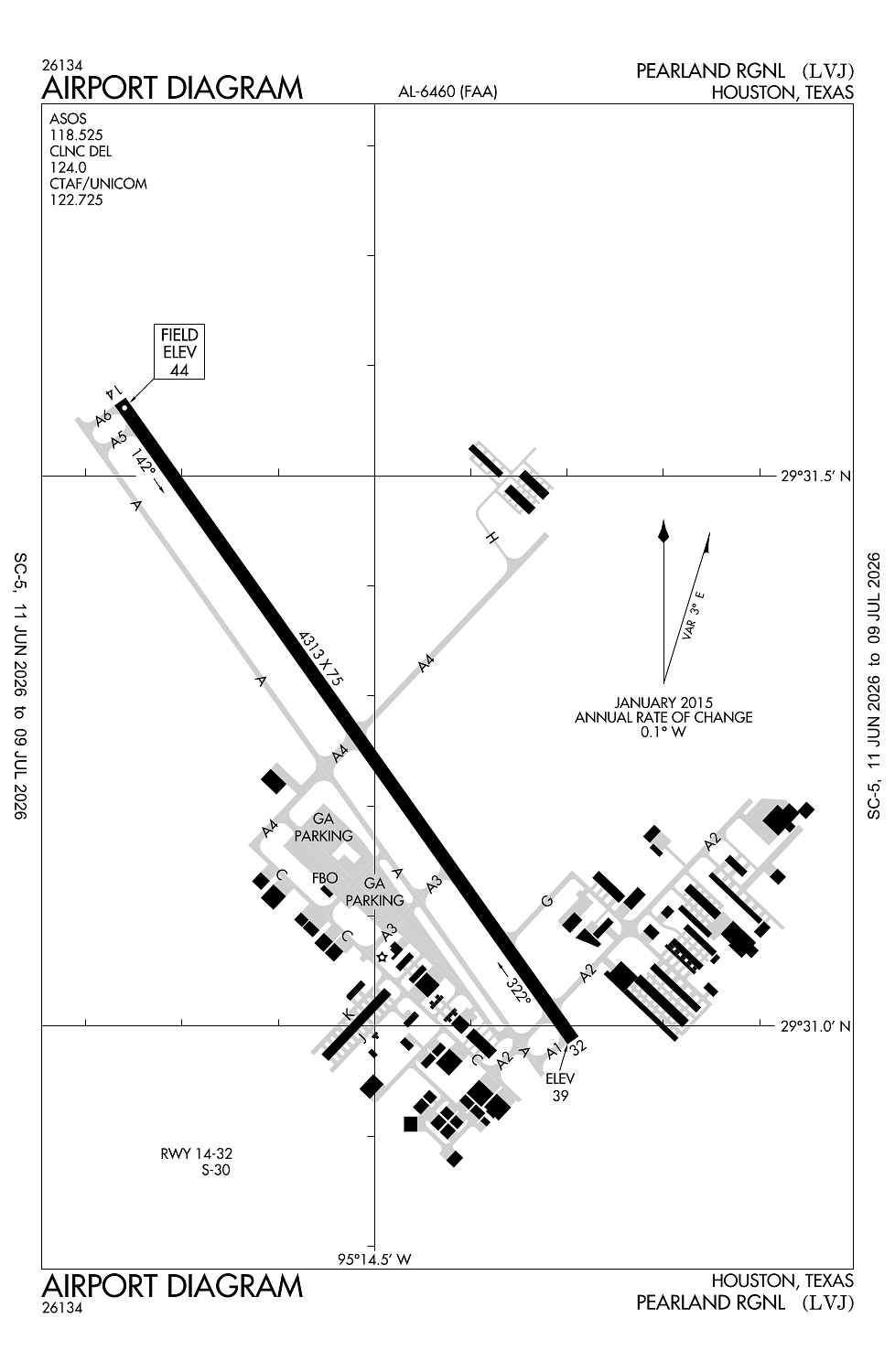
Location:
Houston, TX
Elevation:
43ft
Sectional:
Houston
Activation date:
Oct 1950
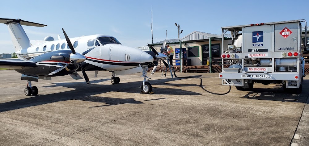
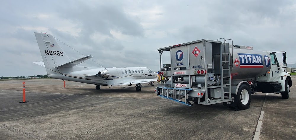
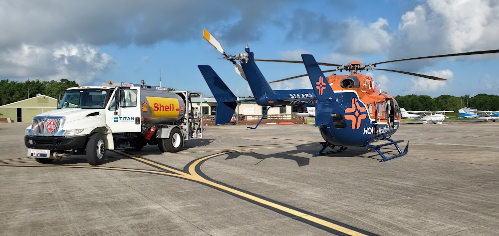
Fuel:
100LL, A (prices)
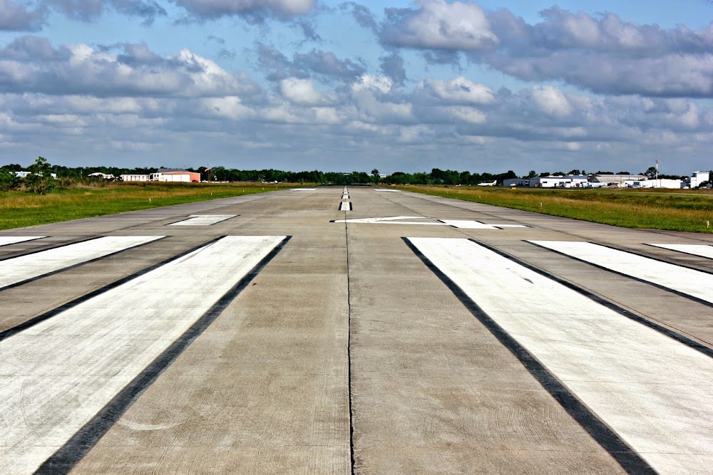
Runway 14/32:
4,313ft
Access: Open to the public
This airport is privately owned but open to the public.
Similar Airports
Current Weather — MVFR
-
Weather data is strictly informational and not for flight planning purposes.
-
METAR2026-07-16 06:53:00 CDT
Ceiling: Sky clear Wind: Calm Temperature: 75°F Dewpoint: 75°F Weather: Mist Visbility: 5SM Raw:METAR KLVJ 161153Z AUTO 00000KT 5SM BR CLR 24/24 A3009 RMK AO2 SLP187 70004 T02440239 10261 20244 53010 -
TAF2026-07-16 07:00:00 CDT – 2026-07-16 10:00:00 CDT
Ceiling: Sky clear Wind: Variable Weather: N/A Visbility: 6SM Clouds: Few @ 1,500ft, Few @ 2,500ft Raw:TAF KLVJ 161120Z 1612/1712 VRB03KT P6SM FEW015 FEW025 FM161500 16008KT P6SM SCT025 BKN035 BKN250 FM161800 15010KT P6SM SCT035 SCT050 SCT100 FM162300 15007KT P6SM FEW110 -
TAF2026-07-16 10:00:00 CDT – 2026-07-16 13:00:00 CDT
Ceiling: 3,500ft Wind: 160° @ 8kt Weather: N/A Visbility: 6SM Clouds: Scattered @ 2,500ft, Broken @ 3,500ft, Broken @ 25,000ft Raw:TAF KLVJ 161120Z 1612/1712 VRB03KT P6SM FEW015 FEW025 FM161500 16008KT P6SM SCT025 BKN035 BKN250 FM161800 15010KT P6SM SCT035 SCT050 SCT100 FM162300 15007KT P6SM FEW110 -
TAF2026-07-16 13:00:00 CDT – 2026-07-16 18:00:00 CDT
Ceiling: Sky clear Wind: 150° @ 10kt Weather: N/A Visbility: 6SM Clouds: Scattered @ 3,500ft, Scattered @ 5,000ft, Scattered @ 10,000ft Raw:TAF KLVJ 161120Z 1612/1712 VRB03KT P6SM FEW015 FEW025 FM161500 16008KT P6SM SCT025 BKN035 BKN250 FM161800 15010KT P6SM SCT035 SCT050 SCT100 FM162300 15007KT P6SM FEW110 -
TAF2026-07-16 18:00:00 CDT – 2026-07-17 07:00:00 CDT
Ceiling: Sky clear Wind: 150° @ 7kt Weather: N/A Visbility: 6SM Clouds: Few @ 11,000ft Raw:TAF KLVJ 161120Z 1612/1712 VRB03KT P6SM FEW015 FEW025 FM161500 16008KT P6SM SCT025 BKN035 BKN250 FM161800 15010KT P6SM SCT035 SCT050 SCT100 FM162300 15007KT P6SM FEW110
Click/tap to add an annotation marker to the map
No webcams added yet.
Remarks
- Predates act.
- Rwy 14 25 ft lgtd poles in trees 520 ft fm thr.
- Lcl call to fss.
- Banner towing sr-ss.
- Lgtd oil derrick 116 ft agl .65 nm se of arpt.
Comments