Pirep is a free, collaborative database of all public and private airports. All pilots are welcome to contribute their local knowledge to any airport, no registration required.
Public
Undocumented
METAR / TAF
Edit Tags
No upcoming events. Is anything happening here soon?
Airport Statistics
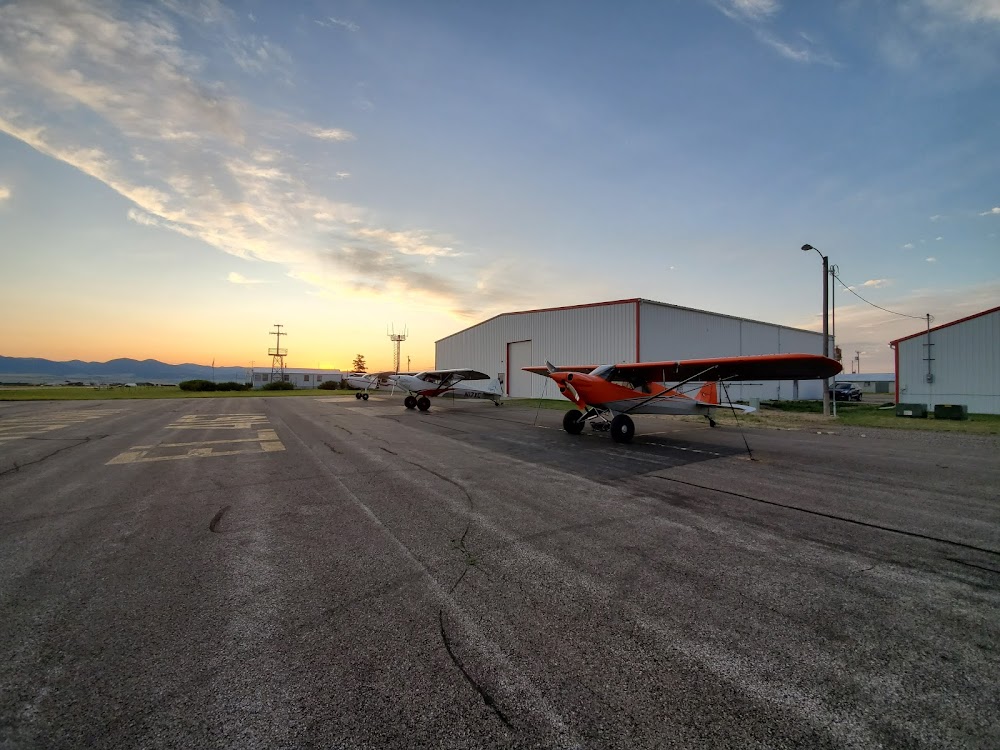
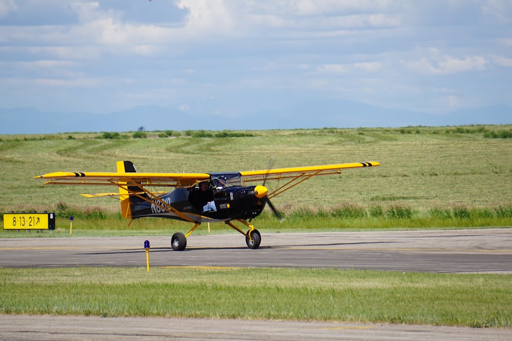
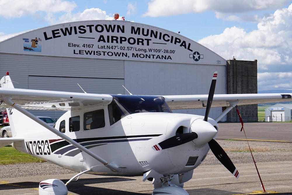
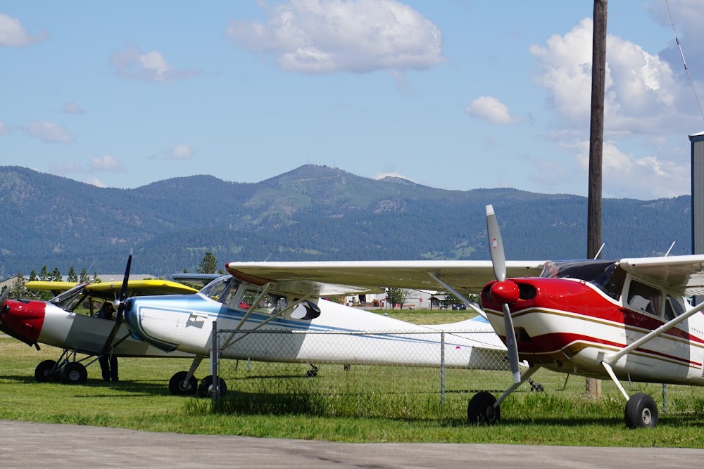
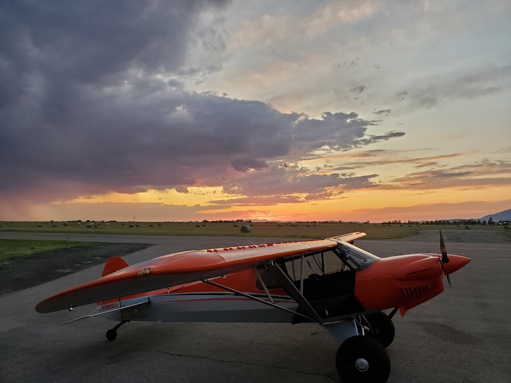
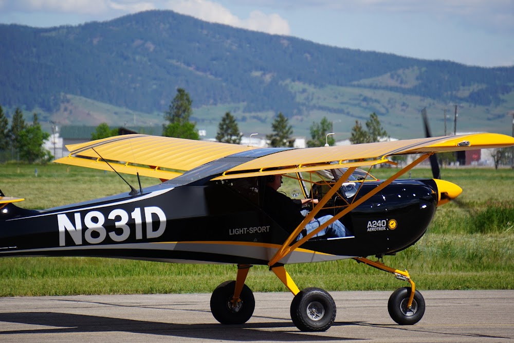
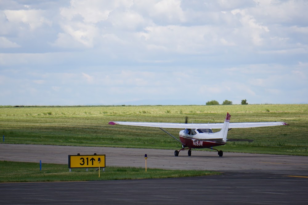
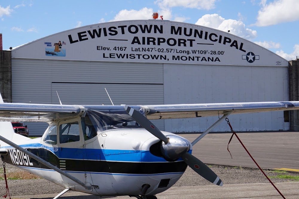
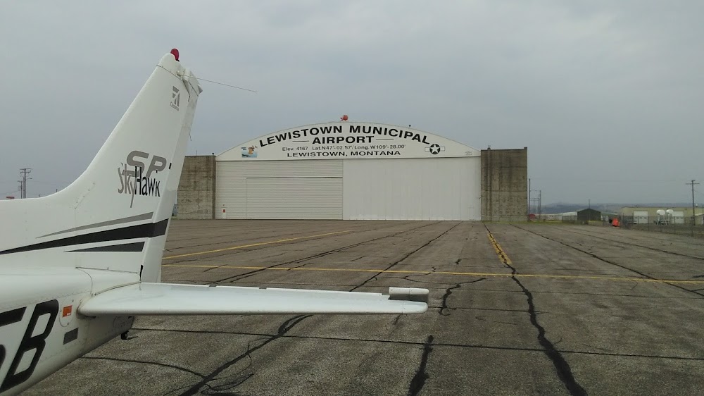
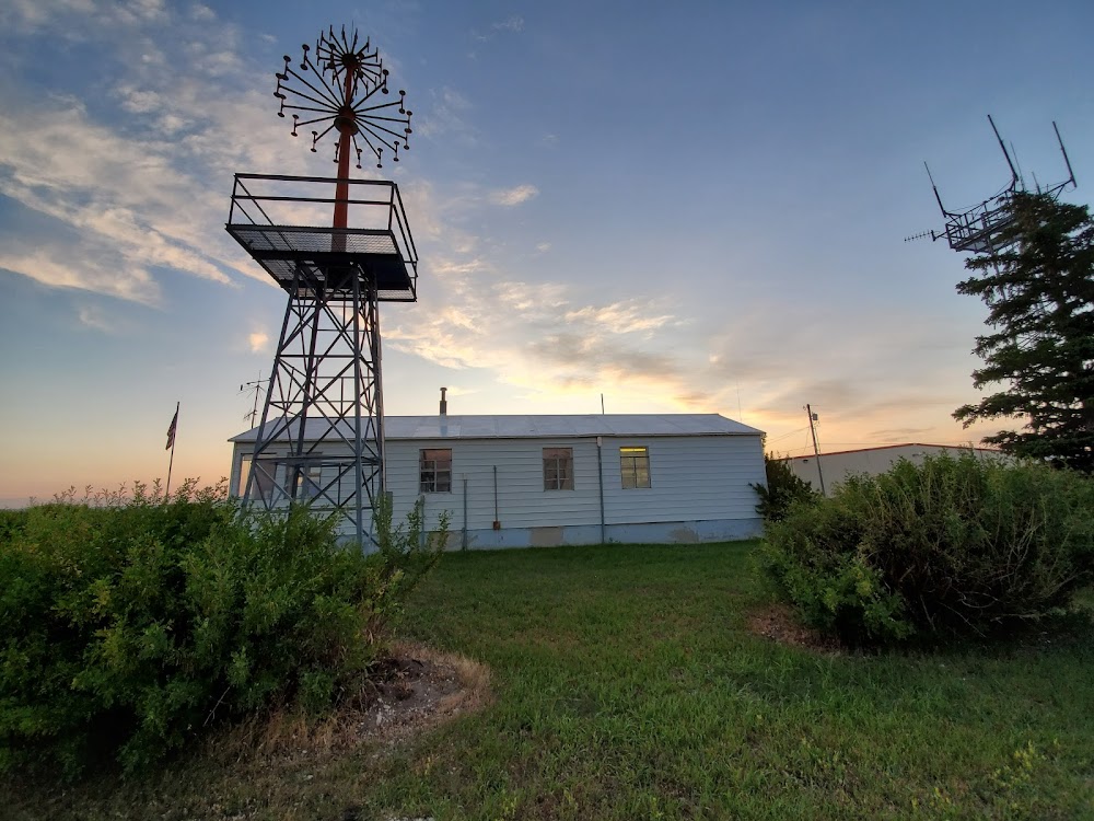
- Airport photos
- General description
- Airport map annotations
Location:
Lewistown, MT
Elevation:
4,170ft
Sectional:
Great Falls
Activation date:
Apr 1940
Fuel:
100, 100LL, A (prices)
Runway 08/26:
6,100ft
Runway 03/21:
5,600ft
Runway 13/31:
4,102ft
Access: Open to the public
Click/tap to add an annotation marker to the map
No webcams added yet.
Remarks
- This airport has been surveyed by the national geodetic survey.
- Pvd all ultralights fly at 300'agl or less when in ctlz; and maint a dstc of 500' or greater fm the cl of any actv txy/rwy, extd 2 mi fm the arpt & to the gnd on any actv rwy; all ultralights oper off the clsd txy to rwy 11/29 on s end. a ltr of agrmt is formulated btn arpt mgr & zlc.
- All twys have reflectors except twy c, e, and half of a, which are lgtd.
- Ry 03/21 day use only.
- Rwy 03/21 not mntnd in winter; rwy 13/31 plowed as needed.
- Arpt sfc conds not mntd 1700-0500.
- Birds on and invof airport.
- For cd if una to ctc on fss freq, ctc salt lake artcc at 801-320-2568.
Comments