Pirep is a free, collaborative database of all public and private airports. All pilots are welcome to contribute their local knowledge to any airport, no registration required.


Public
Undocumented
METAR / TAF
Edit Tags
No upcoming events. Is anything happening here soon?
Airport Statistics
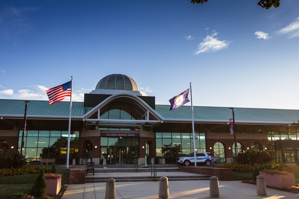
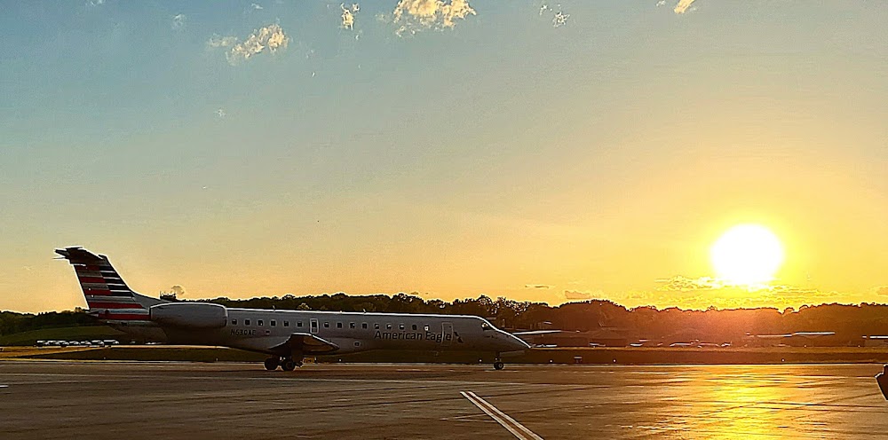
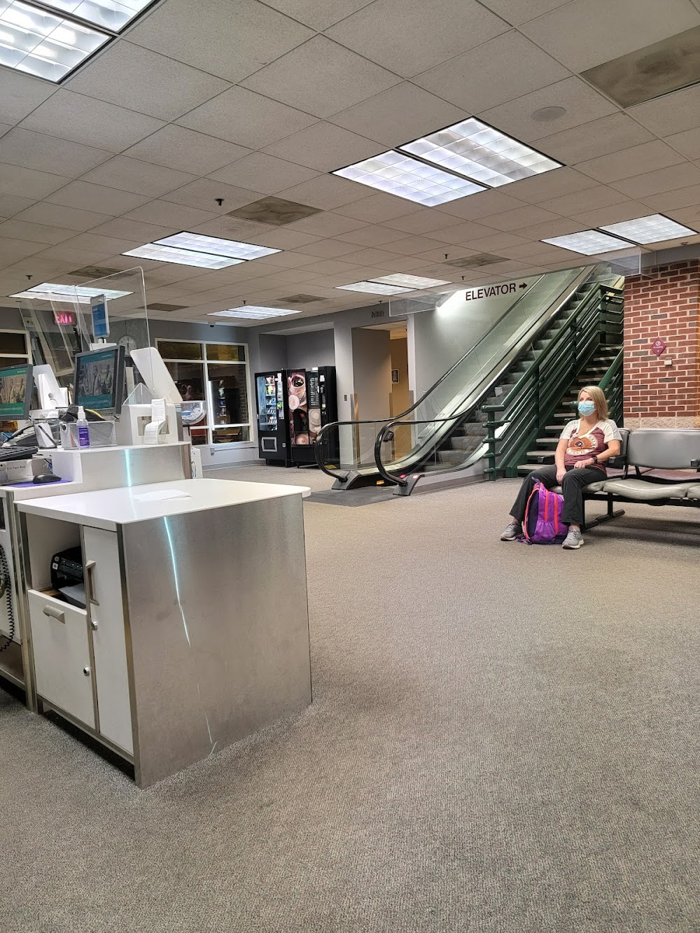
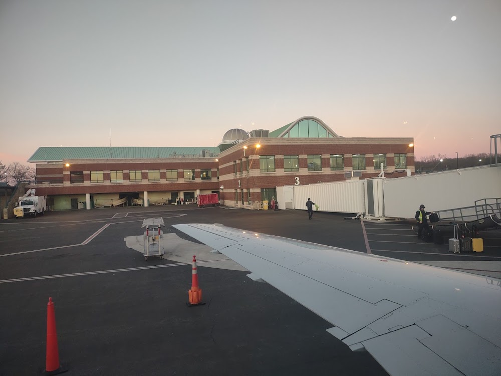
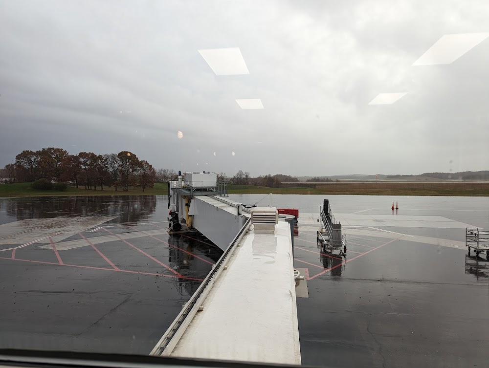
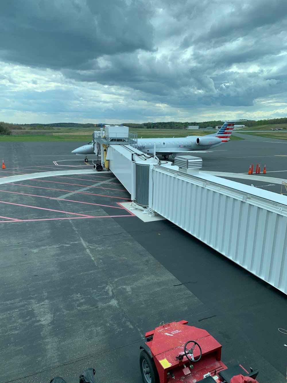
- Airport photos
- Fuel pump location
- Transient parking location
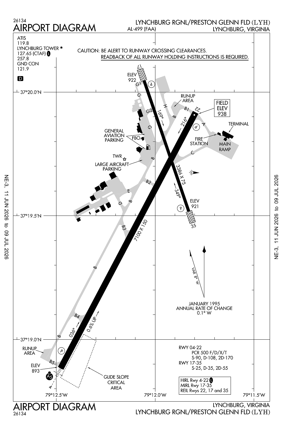
Location:
Lynchburg, VA
Elevation:
938ft
Sectional:
Cincinnati
Activation date:
Aug 1937
Fuel:
100LL, A (prices)
Runway 04/22:
7,100ft
Runway 17/35:
3,386ft
Access: Open to the public
Current Weather — VFR
-
Weather data is strictly informational and not for flight planning purposes.
-
METAR2026-07-21 03:54:00 EDT
Ceiling: 11,000ft Wind: 000° @ kt Temperature: 69°F Dewpoint: 69°F Weather: N/A Visbility: 10SM Clouds: Broken @ 11,000ft Raw:METAR KLYH 210754Z AUTO 10SM BKN110 21/21 A2990 RMK AO2 SLP116 T02110206 $ -
TAF2026-07-21 04:00:00 EDT – 2026-07-21 05:00:00 EDT
Ceiling: 300ft Wind: 000° @ kt Weather: N/A Visbility: SM Clouds: Broken @ 300ft Raw:TAF KLYH 210825Z 2108/2206 VRB02KT P6SM BKN100 TEMPO 2108/2109 BKN003 FM211200 22007KT P6SM BKN100 FM211700 23011G21KT P6SM VCTS OVC080CB FM212000 22008KT 3SM TSRA BR OVC050CB FM220300 21010KT P6SM -RA BKN080 -
TAF2026-07-21 04:00:00 EDT – 2026-07-21 08:00:00 EDT
Ceiling: 10,000ft Wind: Variable Weather: N/A Visbility: 6SM Clouds: Broken @ 10,000ft Raw:TAF KLYH 210825Z 2108/2206 VRB02KT P6SM BKN100 TEMPO 2108/2109 BKN003 FM211200 22007KT P6SM BKN100 FM211700 23011G21KT P6SM VCTS OVC080CB FM212000 22008KT 3SM TSRA BR OVC050CB FM220300 21010KT P6SM -RA BKN080 -
TAF2026-07-21 08:00:00 EDT – 2026-07-21 13:00:00 EDT
Ceiling: 10,000ft Wind: 220° @ 7kt Weather: N/A Visbility: 6SM Clouds: Broken @ 10,000ft Raw:TAF KLYH 210825Z 2108/2206 VRB02KT P6SM BKN100 TEMPO 2108/2109 BKN003 FM211200 22007KT P6SM BKN100 FM211700 23011G21KT P6SM VCTS OVC080CB FM212000 22008KT 3SM TSRA BR OVC050CB FM220300 21010KT P6SM -RA BKN080 -
TAF2026-07-21 13:00:00 EDT – 2026-07-21 16:00:00 EDT
Ceiling: 8,000ft Wind: 230° @ 11kt, gusts 21kt Weather: Thunderstorm in vicinity Visbility: 6SM Clouds: Overcast @ 8,000ft Raw:TAF KLYH 210825Z 2108/2206 VRB02KT P6SM BKN100 TEMPO 2108/2109 BKN003 FM211200 22007KT P6SM BKN100 FM211700 23011G21KT P6SM VCTS OVC080CB FM212000 22008KT 3SM TSRA BR OVC050CB FM220300 21010KT P6SM -RA BKN080 -
TAF2026-07-21 16:00:00 EDT – 2026-07-21 23:00:00 EDT
Ceiling: 5,000ft Wind: 220° @ 8kt Weather: Thunderstorm rain, mist Visbility: 3SM Clouds: Overcast @ 5,000ft Raw:TAF KLYH 210825Z 2108/2206 VRB02KT P6SM BKN100 TEMPO 2108/2109 BKN003 FM211200 22007KT P6SM BKN100 FM211700 23011G21KT P6SM VCTS OVC080CB FM212000 22008KT 3SM TSRA BR OVC050CB FM220300 21010KT P6SM -RA BKN080 -
TAF2026-07-21 23:00:00 EDT – 2026-07-22 02:00:00 EDT
Ceiling: 8,000ft Wind: 210° @ 10kt Weather: Light rain Visbility: 6SM Clouds: Broken @ 8,000ft Raw:TAF KLYH 210825Z 2108/2206 VRB02KT P6SM BKN100 TEMPO 2108/2109 BKN003 FM211200 22007KT P6SM BKN100 FM211700 23011G21KT P6SM VCTS OVC080CB FM212000 22008KT 3SM TSRA BR OVC050CB FM220300 21010KT P6SM -RA BKN080
Click/tap to add an annotation marker to the map
No webcams added yet.
Remarks
- This airport has been surveyed by the national geodetic survey.
- Ppr 12 hrs for unsked acr opns with more than 30 psgr seats. call arff 434-582-1157. index "b" coverage prvdd.
- Twy g uncontrolled-not visible from atct.
- Birds and other wildlife on & invof arpt.
- Ry 17/35 ppr for acft over 12500 lbs.
Comments