Pirep is a free, collaborative database of all public and private airports. All pilots are welcome to contribute their local knowledge to any airport, no registration required.

Public
Undocumented
METAR / TAF
Edit Tags
No upcoming events. Is anything happening here soon?
Airport Statistics
- Landing & tie-down fees
- Fuel pump location
- General description
Location:
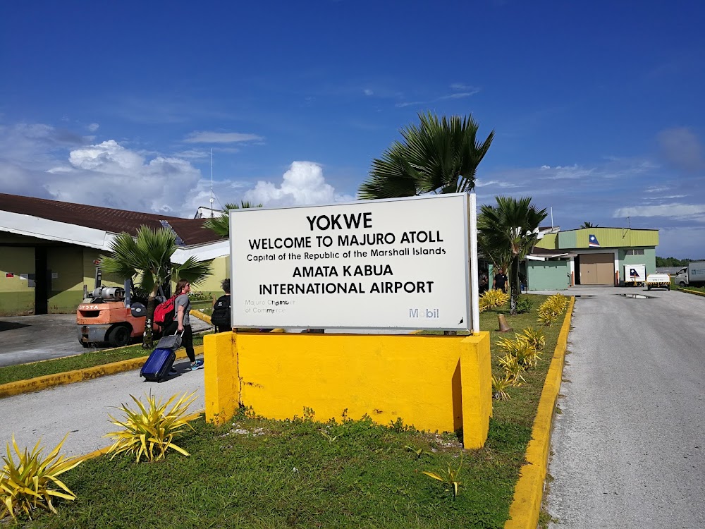
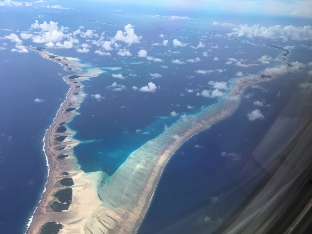
Majuro Atoll, MH
Elevation:
6ft
Sectional:
Cape Lisburne
Activation date:
Nov 1972
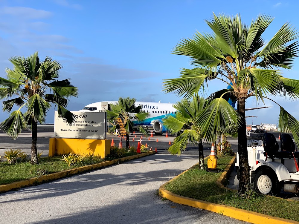
Fuel:
A1+ (prices)
Runway 07/25:
7,913ft
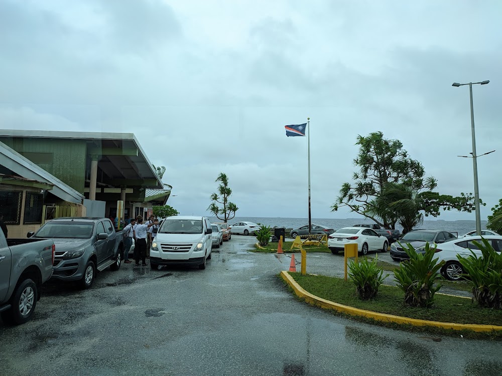
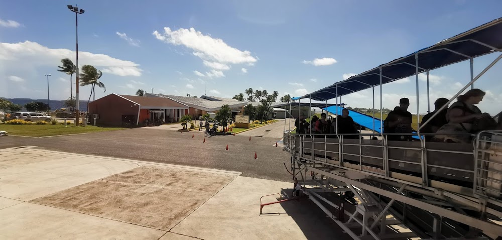
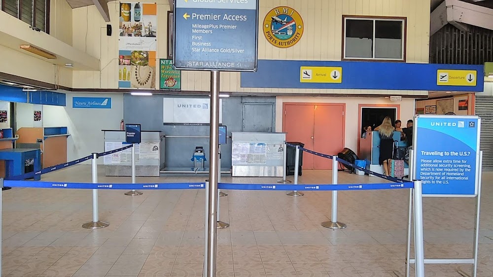
Access: Open to the public
Current Weather — VFR
-
Weather data is strictly informational and not for flight planning purposes.
-
METAR2026-07-20 19:59:00 +12
Ceiling: 12,000ft Wind: 040° @ 7kt Temperature: 84°F Dewpoint: 78°F Weather: N/A Visbility: 15SM Clouds: Few @ 1,400ft, Scattered @ 5,000ft, Broken @ 12,000ft, Overcast @ 30,000ft Raw:METAR PKMJ 200759Z 04007KT 15SM FEW014 SCT050 BKN120 OVC300 29/26 A2981 -
TAF2026-07-20 18:00:00 +12 – 2026-07-21 18:00:00 +12
Ceiling: Sky clear Wind: 050° @ 10kt Weather: Showers in vicinity Visbility: 6SM Clouds: Few @ 1,600ft, Scattered @ 4,000ft, Scattered @ 12,000ft Raw:TAF PKMJ 200540Z 2006/2106 05010KT P6SM VCSH FEW016 SCT040 SCT120
Click/tap to add an annotation marker to the map
No webcams added yet.
Remarks
- Arpts in trust territory not subject to faa regs. airspace analysis not required.
- Ppr for ldg from amgr 24 hrs in advance.
- Ppr for ngt lndg by arpt mgr/dist admir, excp emerg, rprt wi 48 hours.
- Partially paved water catchment area both sides of rwy with vent pipes 1' above sfc.
- Arpt superintendent avail sun-fri/0800-1700; phone 692-247-7612/3113; fax 692-247-3888.
- (e94) sawrs
- Actvt mirl ry 07/25 & papi rys 07 & 25, reil rys 07 & 25 - ctaf.
- Or 692-247-7612. arpt fax 692-247-3888. after hours contact director 692-455-0777
Comments