Pirep is a free, collaborative database of all public and private airports. All pilots are welcome to contribute their local knowledge to any airport, no registration required.


Public
Undocumented
METAR / TAF
Edit Tags
No upcoming events. Is anything happening here soon?
Airport Statistics
- Local flying clubs
- General description
- Fuel pump location
Location:
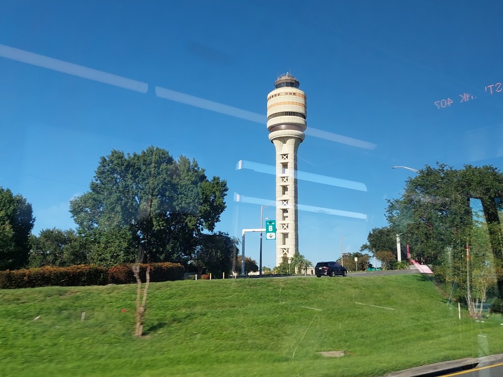
Orlando, FL
Elevation:
96ft
Sectional:
Jacksonville
Activation date:
Jun 1941
Fuel:
100LL, A (prices)
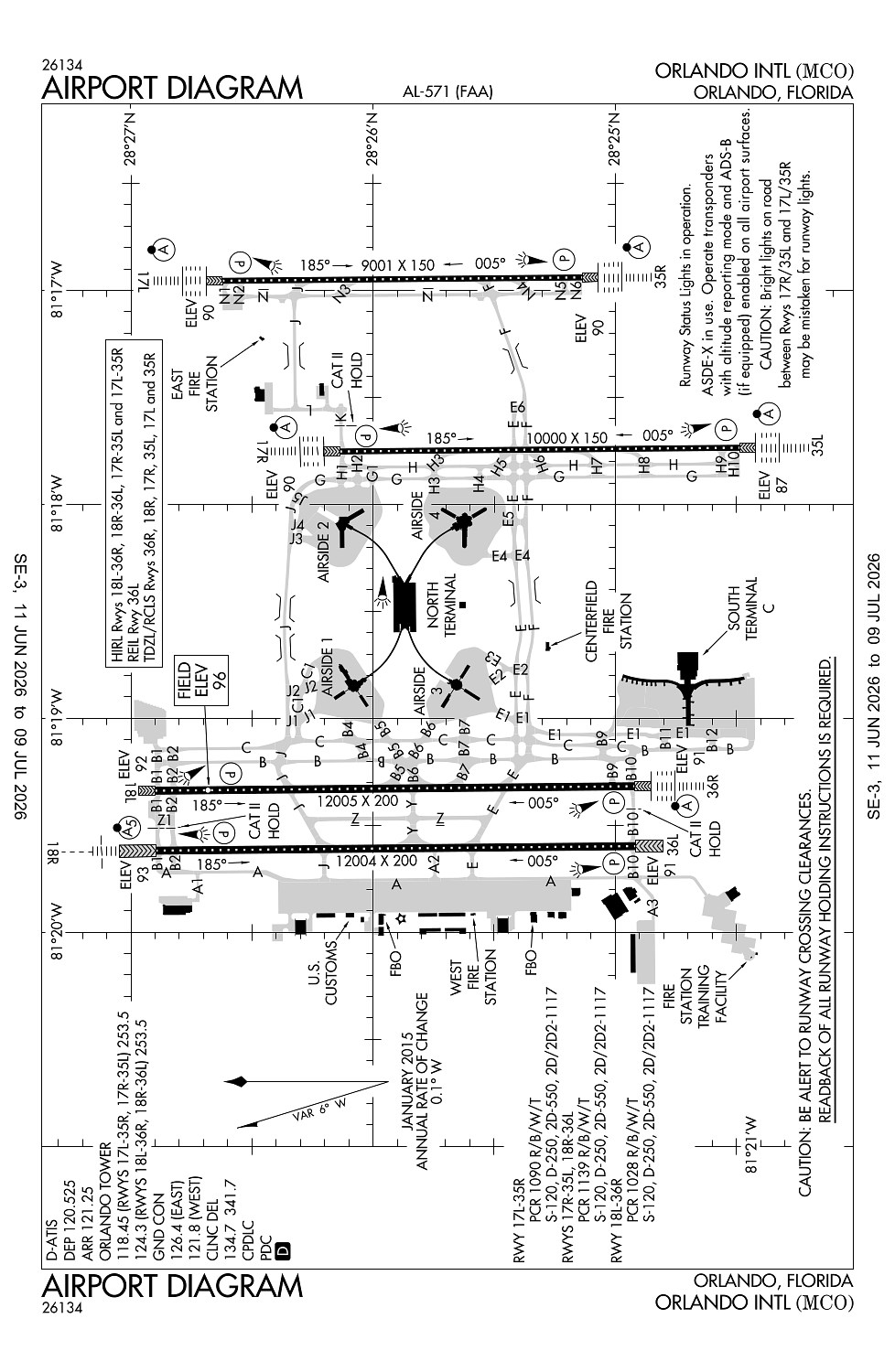
Runway 18L/36R:
12,005ft
Runway 18R/36L:
12,004ft
Runway 17R/35L:
10,000ft
Runway 17L/35R:
9,001ft
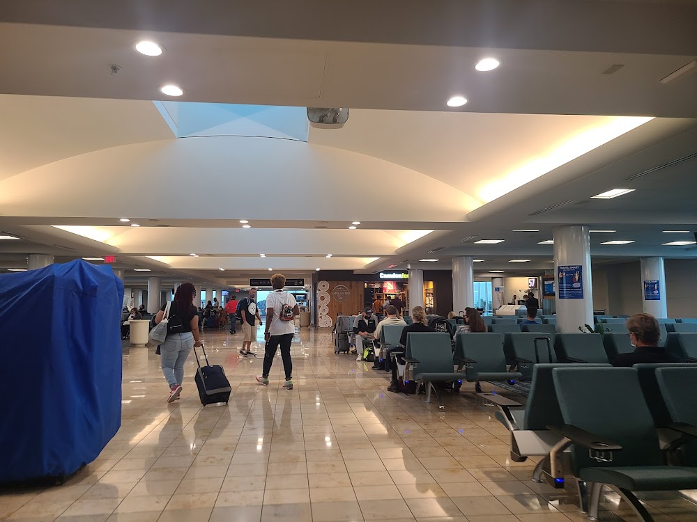
Access: Open to the public
Current Weather — VFR
-
Weather data is strictly informational and not for flight planning purposes.
-
METAR2026-07-16 05:53:00 EDT
Ceiling: Sky clear Wind: 300° @ 4kt Temperature: 78°F Dewpoint: 71°F Weather: N/A Visbility: 10SM Clouds: Few @ 3,000ft, Few @ 25,000ft Raw:METAR KMCO 160953Z 30004KT 10SM FEW030 FEW250 26/22 A3006 RMK OCNL LTGIC DSNT W CB DSNT W -
TAF2026-07-16 05:00:00 EDT – 2026-07-16 10:00:00 EDT
Ceiling: Sky clear Wind: 270° @ 5kt Weather: N/A Visbility: 6SM Clouds: Few @ 5,000ft Raw:TAF KMCO 160858Z 1609/1712 27005KT P6SM FEW050 FM161400 29007KT P6SM FEW040 FEW250 FM161900 28009KT P6SM VCTS SCT040CB SCT150 SCT250 FM170000 28004KT P6SM SCT060 SCT100 BKN250 -
TAF2026-07-16 10:00:00 EDT – 2026-07-16 15:00:00 EDT
Ceiling: Sky clear Wind: 290° @ 7kt Weather: N/A Visbility: 6SM Clouds: Few @ 4,000ft, Few @ 25,000ft Raw:TAF KMCO 160858Z 1609/1712 27005KT P6SM FEW050 FM161400 29007KT P6SM FEW040 FEW250 FM161900 28009KT P6SM VCTS SCT040CB SCT150 SCT250 FM170000 28004KT P6SM SCT060 SCT100 BKN250 -
TAF2026-07-16 15:00:00 EDT – 2026-07-16 20:00:00 EDT
Ceiling: Sky clear Wind: 280° @ 9kt Weather: Thunderstorm in vicinity Visbility: 6SM Clouds: Scattered @ 4,000ft, Scattered @ 15,000ft, Scattered @ 25,000ft Raw:TAF KMCO 160858Z 1609/1712 27005KT P6SM FEW050 FM161400 29007KT P6SM FEW040 FEW250 FM161900 28009KT P6SM VCTS SCT040CB SCT150 SCT250 FM170000 28004KT P6SM SCT060 SCT100 BKN250 -
TAF2026-07-16 20:00:00 EDT – 2026-07-17 08:00:00 EDT
Ceiling: 25,000ft Wind: 280° @ 4kt Weather: N/A Visbility: 6SM Clouds: Scattered @ 6,000ft, Scattered @ 10,000ft, Broken @ 25,000ft Raw:TAF KMCO 160858Z 1609/1712 27005KT P6SM FEW050 FM161400 29007KT P6SM FEW040 FEW250 FM161900 28009KT P6SM VCTS SCT040CB SCT150 SCT250 FM170000 28004KT P6SM SCT060 SCT100 BKN250
Click/tap to add an annotation marker to the map
No webcams added yet.
Remarks
- Birds on & invof arpt.
- All aircraft determined to be faa design group iv and above must perform judgemental oversteering instead of cockpit cntrln steering when taxiing.
- When orl ils ry 7 and mco ils rys 17 & 18r simultaneous operations are conducted, atc radar required.
- Bright lgts on road btn ry 17r/35l and ry 17l/35r may be mistaken for ry lgts.
- Asde-x in use. operate transponders with altitude reporting mode and ads-b (if equipped) enabled on all airport surfaces.
Comments