Pirep is a free, collaborative database of all public and private airports. All pilots are welcome to contribute their local knowledge to any airport, no registration required.


Public
Undocumented
METAR / TAF
Edit Tags
No upcoming events. Is anything happening here soon?
Airport Statistics
- Crew car availability
- Airport map annotations
- Landing & tie-down fees
Location:
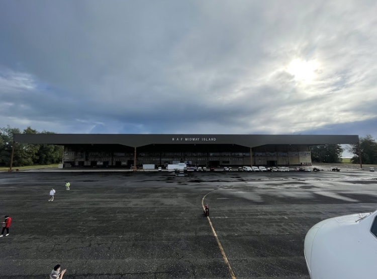
Midway Atoll, QM
Elevation:
12ft
Sectional:
Hawaiian Islands
Activation date:
Dec 1946
Fuel:
None
Runway 06/24:
7,800ft
Access: Open to the public
Current Weather — VFR
-
Weather data is strictly informational and not for flight planning purposes.
-
METAR2026-07-16 01:56:00 SST
Ceiling: Sky clear Wind: 090° @ 12kt Temperature: 77°F Dewpoint: 71°F Weather: N/A Visbility: 10SM Clouds: Scattered @ 1,900ft Raw:METAR PMDY 161256Z AUTO 09012KT 10SM SCT019 25/22 A3004 RMK AO2 RAE09 SLP175 P0000 T02500222 $ -
TAF2026-07-16 01:00:00 SST – 2026-07-17 01:00:00 SST
Ceiling: Sky clear Wind: 100° @ 12kt Weather: Showers in vicinity Visbility: 6SM Clouds: Few @ 1,000ft, Scattered @ 3,000ft Raw:TAF PMDY 161120Z 1612/1712 10012KT P6SM VCSH FEW010 SCT030
Click/tap to add an annotation marker to the map
No webcams added yet.
Remarks
- Ctaf not monitored ctc freq 126.2.
- Arpt pri ctc (808) 674-1237. backup contact sat phone arpt manager 011-8816-327-20578, usfws refuge manager 011-8816-327-33725, dbsi manager 011-8816-327-33825
- Be alert for heavy bird strike hazards at all times.
- Current bird activity status avbl during initial ctc inbound and prior to tkof and ldg on freq 126.2.
- Freq 126.2 monitored 0800-1700 daily and during approved acft opns.
- Use freq 126.2 for all inbound and outbound communications.
- Except when necessary for tkf and lndg, all acft maintain minimum alt of 5,000 ft msl within 12 miles of arpt.
- Apt closed to all transient acft. apt open for etops and approved acft opns only
Comments