Pirep is a free, collaborative database of all public and private airports. All pilots are welcome to contribute their local knowledge to any airport, no registration required.


Public
Undocumented
METAR / TAF
Edit Tags
No upcoming events. Is anything happening here soon?
Airport Statistics
- WiFi availability
- General description
- Webcam links
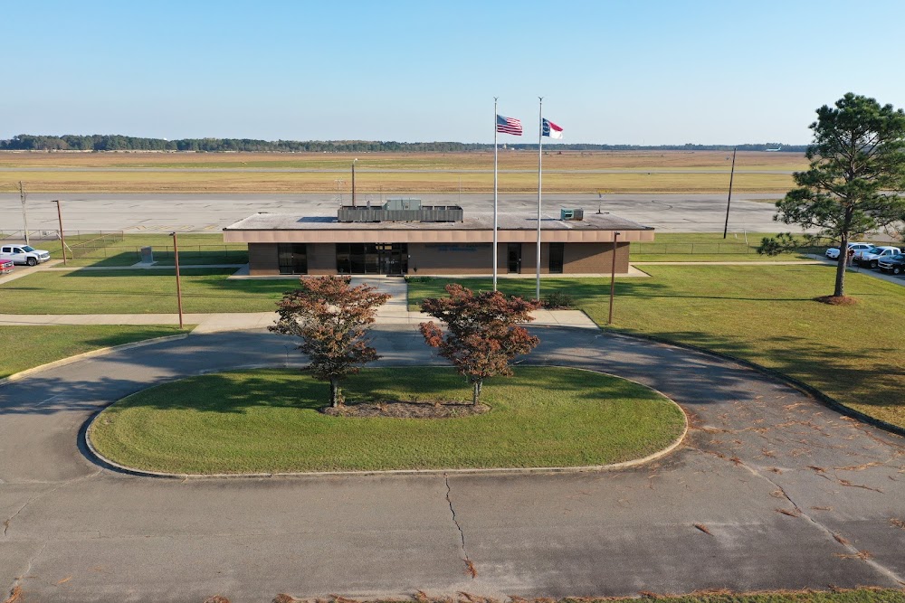
Location:
Maxton, NC
Elevation:
215ft
Sectional:
Charlotte
Activation date:
May 1943
Fuel:
100LL, A1+ (prices)
Runway 05/23:
6,503ft
Runway 13/31:
3,536ft
Access: Open to the public
Current Weather — VFR
-
Weather data is strictly informational and not for flight planning purposes.
-
METAR2026-07-16 11:52:00 EDT
Ceiling: Sky clear Wind: 240° @ 6kt Temperature: 91°F Dewpoint: 73°F Weather: N/A Visbility: 10SM Raw:METAR KMEB 161552Z AUTO 24006KT 10SM CLR 33/23 A3003 RMK AO2 SLP165 T03280233
Click/tap to add an annotation marker to the map
No webcams added yet.
Remarks
- Ctc amgr for acft rpr svc.
- Existed prior to 1959.
- Mil acft frqly oper fm clsd ptn of rwy 13/31 & clsd rwy 18/36.
- Hvy paja at south end of clsd rwy 18/36 & south side rwy 13/31.
- Gco avbl on freq 135.075 thru fay cd.
- Farming eqpt and mil ops on & invof arpt.
- Rwy 13/31 dalgt use only.
- No ln of sight btn rwy ends.
Comments