Pirep is a free, collaborative database of all public and private airports. All pilots are welcome to contribute their local knowledge to any airport, no registration required.

Public
Undocumented
METAR / TAF
Events
Edit Tags
Upcoming Events
-
Sat, Aug 1 2026 8:00am – 2:00pm
-
Sat, Aug 1 2026 8:00am – 2:00pm
-
Sat, Aug 1 2026 8:00am – 2:00pm
-
Sat, Aug 1 2026 8:00am – 2:00pm
Airport Statistics
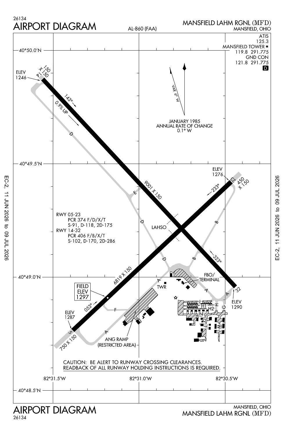
- Airport map annotations
- General description
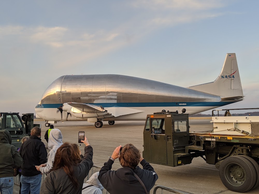
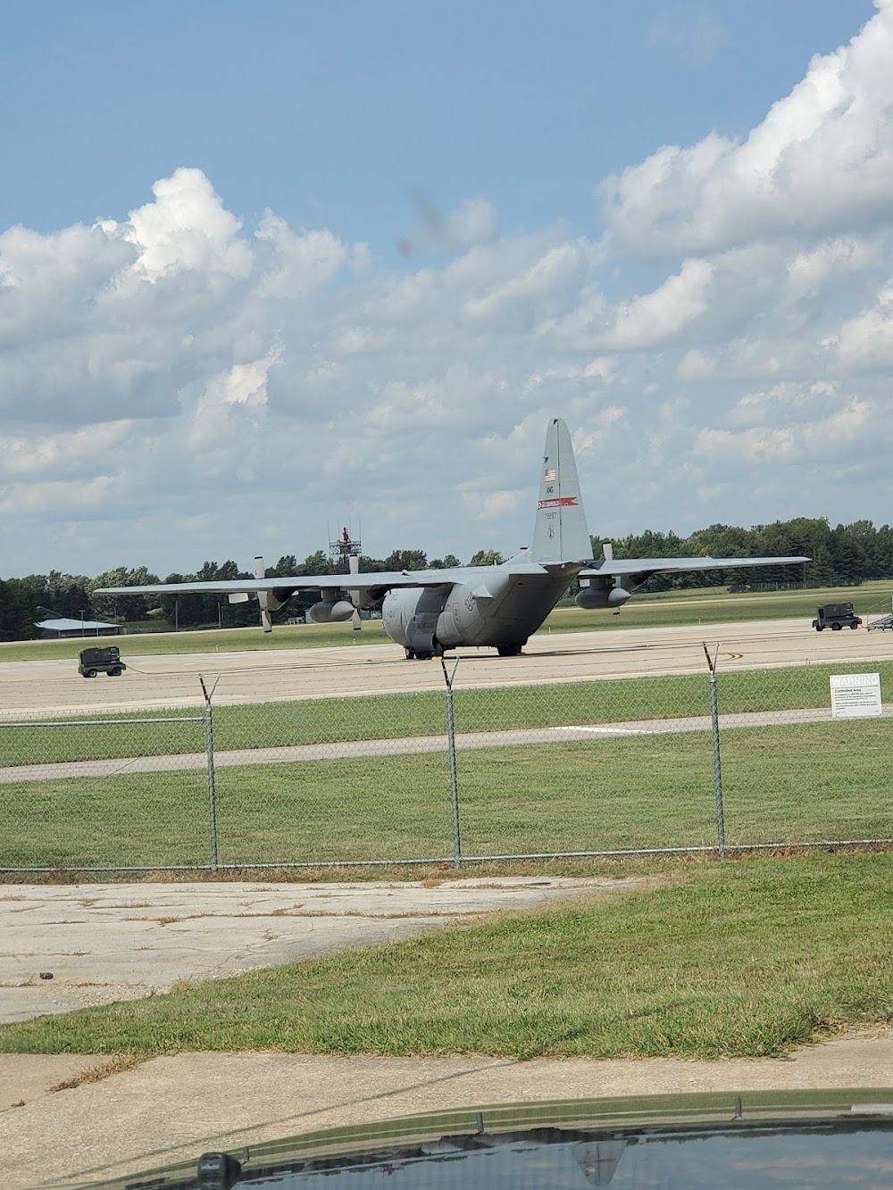
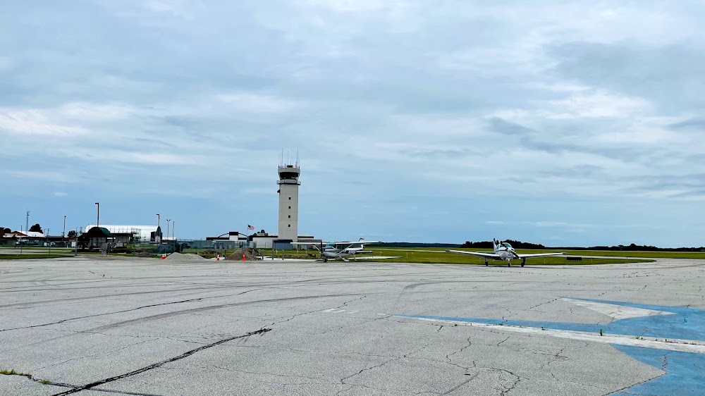
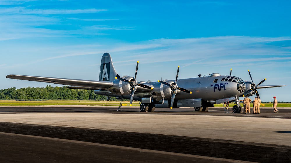
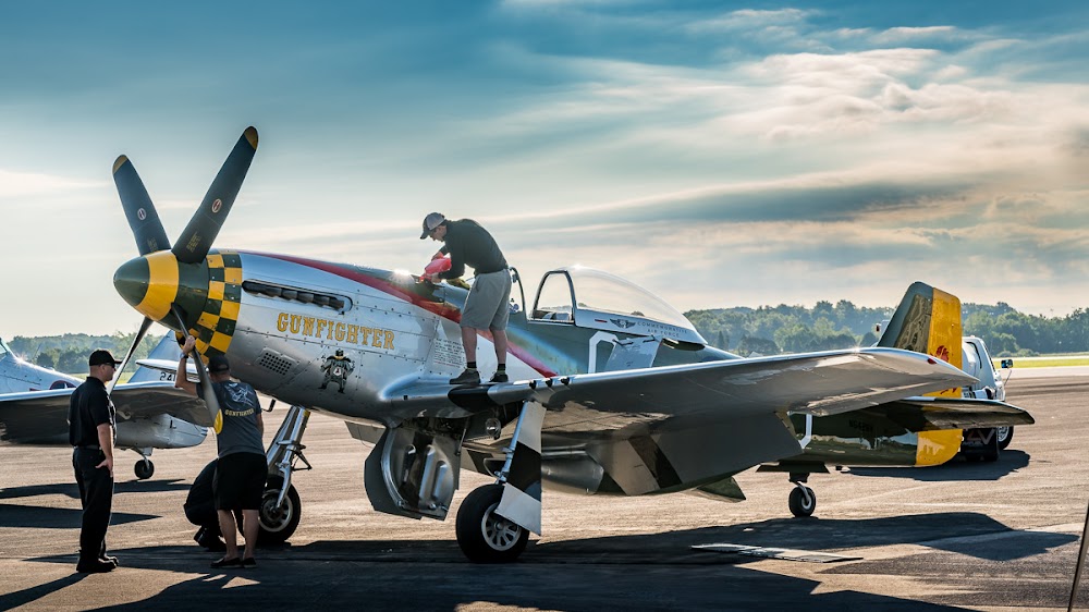
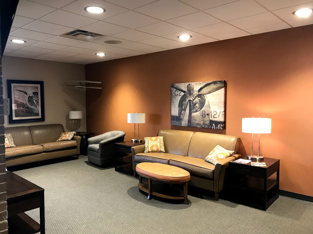
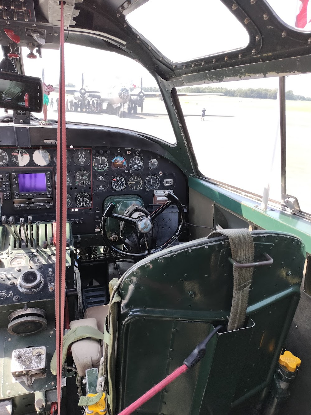
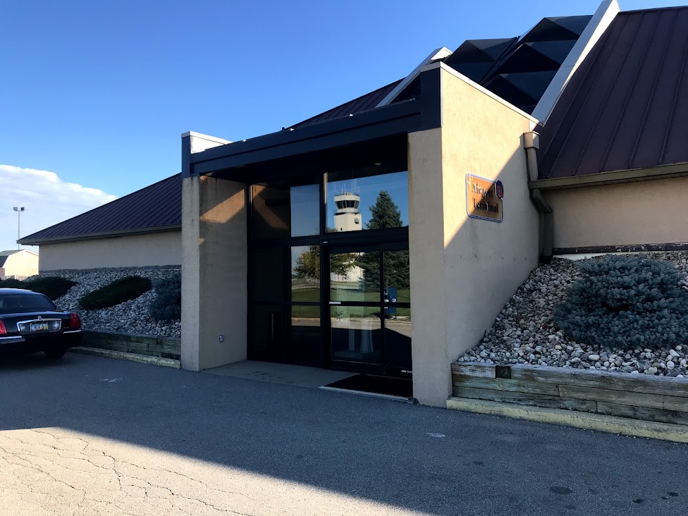
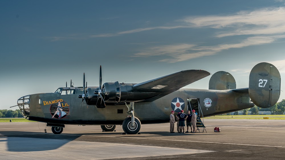
- Airport photos
Location:
Mansfield, OH
Elevation:
1,297ft
Sectional:
Detroit
Activation date:
Dec 1937
Fuel:
100LL, A1+ (prices)
Runway 14/32:
9,001ft
Runway 05/23:
6,819ft
Access: Open to the public
Current Weather — VFR
-
Weather data is strictly informational and not for flight planning purposes.
-
METAR2026-07-15 21:52:00 EDT
Ceiling: Sky clear Wind: 250° @ 4kt Temperature: 80°F Dewpoint: 71°F Weather: N/A Visbility: 10SM Raw:METAR KMFD 160152Z 25004KT 10SM CLR 27/22 A3005 RMK AO2 SLP164 T02720222 $ -
TAF2026-07-15 20:00:00 EDT – 2026-07-16 03:00:00 EDT
Ceiling: Sky clear Wind: 260° @ 5kt Weather: N/A Visbility: 6SM Clouds: Few @ 25,000ft Raw:TAF KMFD 152320Z 1600/1624 26005KT P6SM FEW250 FM160700 27004KT 5SM HZ BKN250 FM161600 31007KT 4SM HZ BKN250 -
TAF2026-07-16 03:00:00 EDT – 2026-07-16 12:00:00 EDT
Ceiling: 25,000ft Wind: 270° @ 4kt Weather: Haze Visbility: 5SM Clouds: Broken @ 25,000ft Raw:TAF KMFD 152320Z 1600/1624 26005KT P6SM FEW250 FM160700 27004KT 5SM HZ BKN250 FM161600 31007KT 4SM HZ BKN250 -
TAF2026-07-16 12:00:00 EDT – 2026-07-16 20:00:00 EDT
Ceiling: 25,000ft Wind: 310° @ 7kt Weather: Haze Visbility: 4SM Clouds: Broken @ 25,000ft Raw:TAF KMFD 152320Z 1600/1624 26005KT P6SM FEW250 FM160700 27004KT 5SM HZ BKN250 FM161600 31007KT 4SM HZ BKN250
Click/tap to add an annotation marker to the map
No webcams added yet.
Remarks
- Clsd to skedd acr ops gtr than 9 pax seats - call amgr.
- Deer, birds, & waterfowl on & invof arpt.
- Acft on either end of rwy 05/23 & 14/32 not vsb on the otr end due to rwy grade.
- Acft larger than a 'g1' or with a wing span greater than 80 ft (tip to tip) are restricted on twys g/h/j/l/m/n & should use the main ramp area.
- All mil opns: bash phase ii migratory bird haz are fr mar-nov; bash phase i dur times not designated as phase ii.
Comments