Pirep is a free, collaborative database of all public and private airports. All pilots are welcome to contribute their local knowledge to any airport, no registration required.
No upcoming events. Is anything happening here soon?
Last updated: 2023-05-26 23:56:33 EDT
Airport Statistics
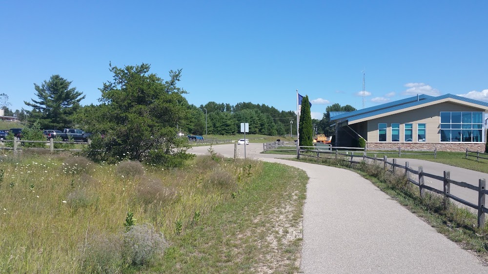
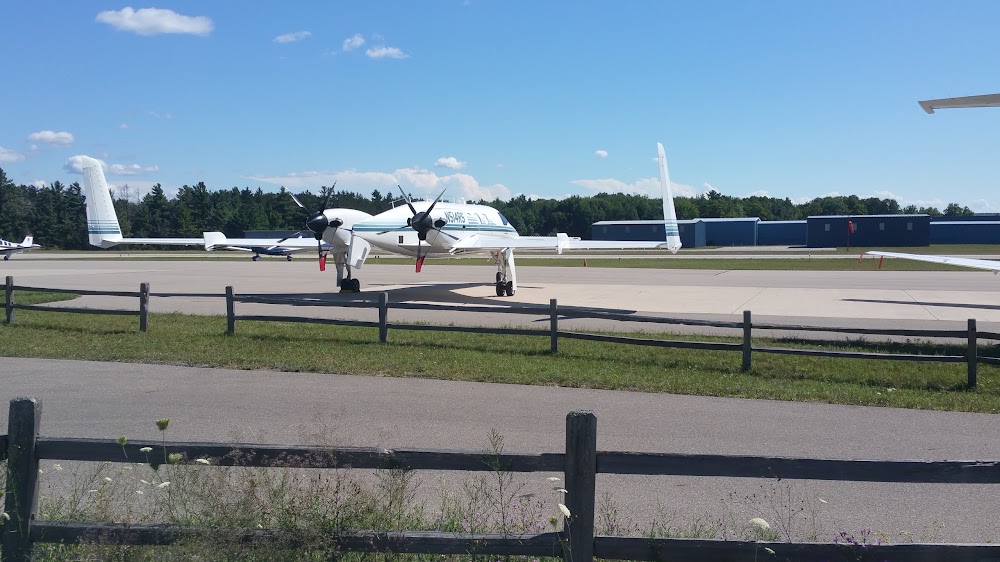
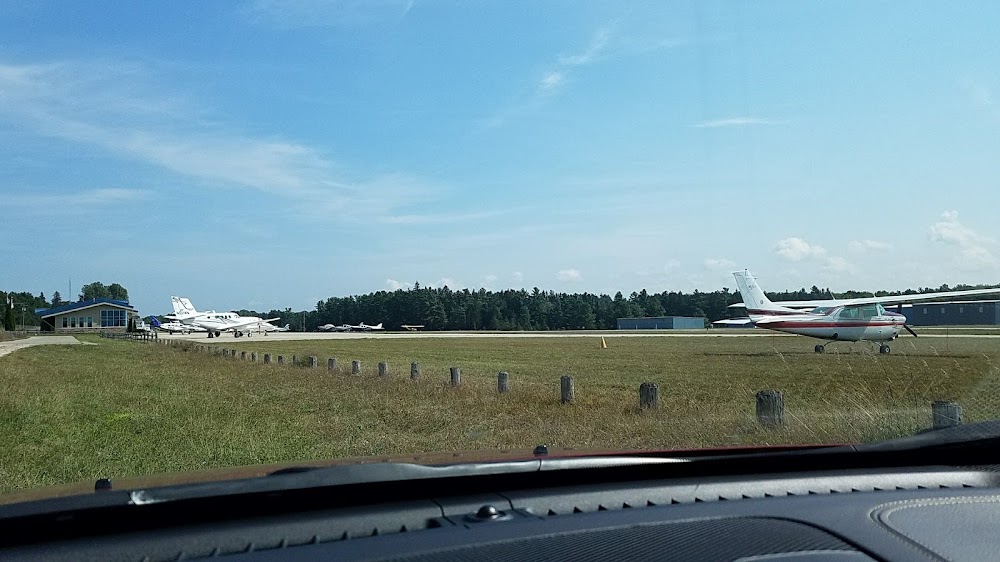
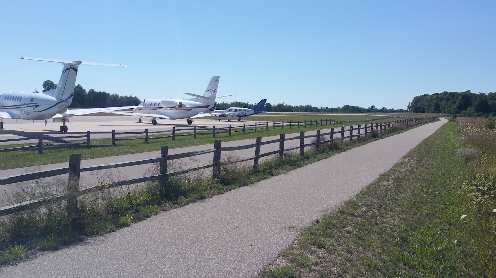
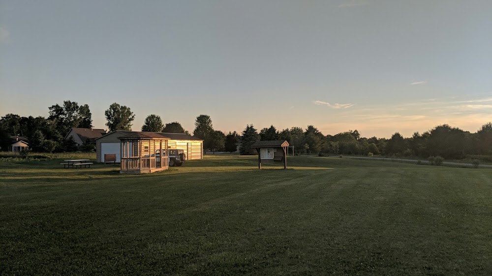
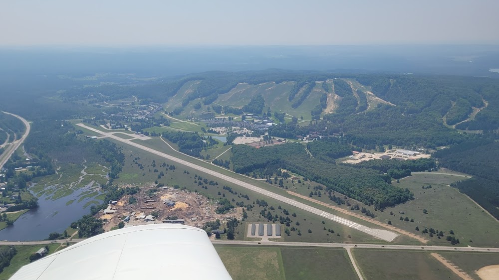
- Airport photos
- Transient parking location
- Crew car availability
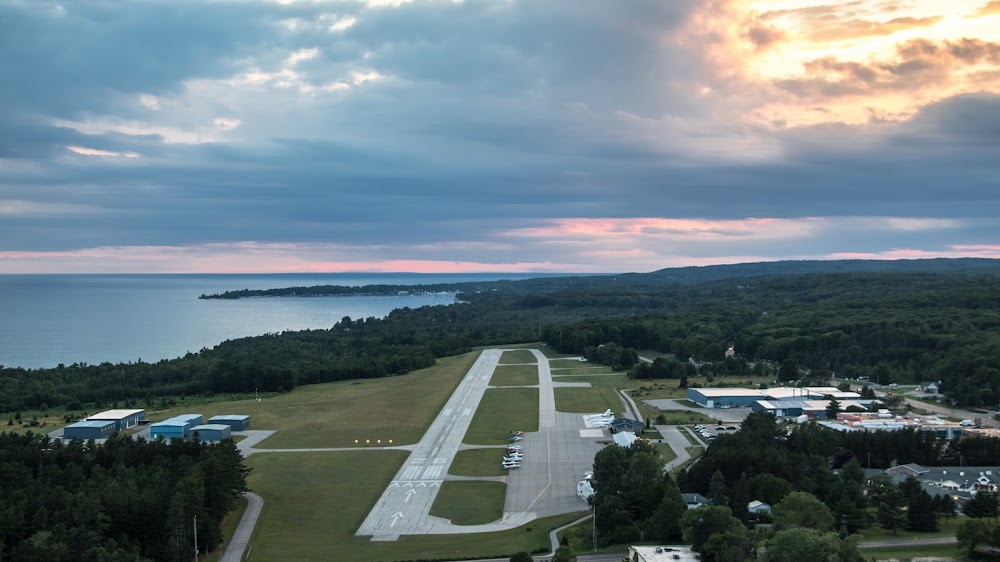
Location:
Harbor Springs, MI
Elevation:
685ft
Sectional:
Lake Huron
Activation date:
Apr 1940
Fuel:
100LL, A+ (prices)
Runway 10/28:
4,149ft
Access: Open to the public
Similar Airports

Current Weather — VFR
-
Weather data is strictly informational and not for flight planning purposes.
-
METAR2026-07-20 23:15:00 EDT
Ceiling: 4,600ft Wind: 220° @ 6kt, gusts 20kt Temperature: 71°F Dewpoint: 68°F Weather: Light rain Visbility: 7SM Clouds: Scattered @ 3,800ft, Broken @ 4,600ft, Overcast @ 11,000ft Raw:METAR KMGN 210315Z AUTO 22006G20KT 7SM -RA SCT038 BKN046 OVC110 22/20 A2951 RMK AO2 T02220200
Click/tap to add an annotation marker to the map
No webcams added yet.
Remarks
- Rwy 10 apch area has two 70 ft lgtd obstn poles, 170 ft left of cntrln; +75 ft trees on north side.
- Rwy 28 apch area has lgtd obstn poles, 165 ft left & 220 ft right of cntrln; +80 ft trees adj.
- Deer, birds, & wildlife on & invof arpt.
- Noise abatement procs: no turbojet/turbofan acft deps 2300-0700; no low flt ovr srndg community; all acft depg to the west turn south ovr the water as soon as practical.
- Ry 28, 46 ft ant. 260 ft fm ry end 234 ft n of rwy cl.; 42 ft ant next to term. bldg 335 ft n of ry cl.
- Ldg fee waived with min fuel purchase.
- For cd ctc minneapolis artcc at 651-463-5588.
- Actvt mirl rwy 10/28 - ctaf. papi rwy 10 & 28 opr consly.
Comments