Pirep is a free, collaborative database of all public and private airports. All pilots are welcome to contribute their local knowledge to any airport, no registration required.

Public
Undocumented
METAR / TAF
Edit Tags
No upcoming events. Is anything happening here soon?
Airport Statistics
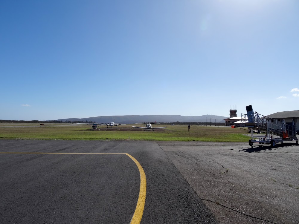
- Transient parking location
- Fuel pump location
- Airport map annotations
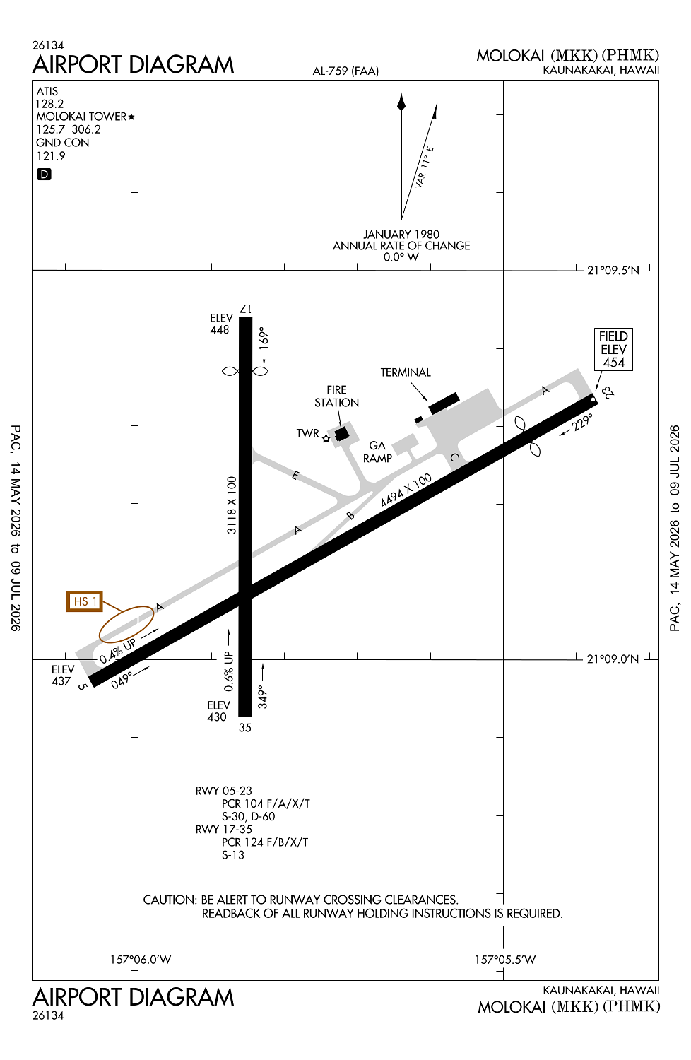
Location:
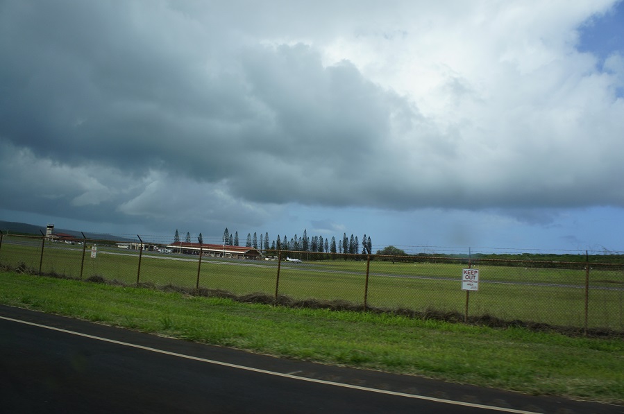
Kaunakakai, HI
Elevation:
453ft
Sectional:
Hawaiian Islands
Activation date:
Jul 1946
Fuel:
None
Runway 05/23:
4,494ft
Runway 17/35:
3,118ft
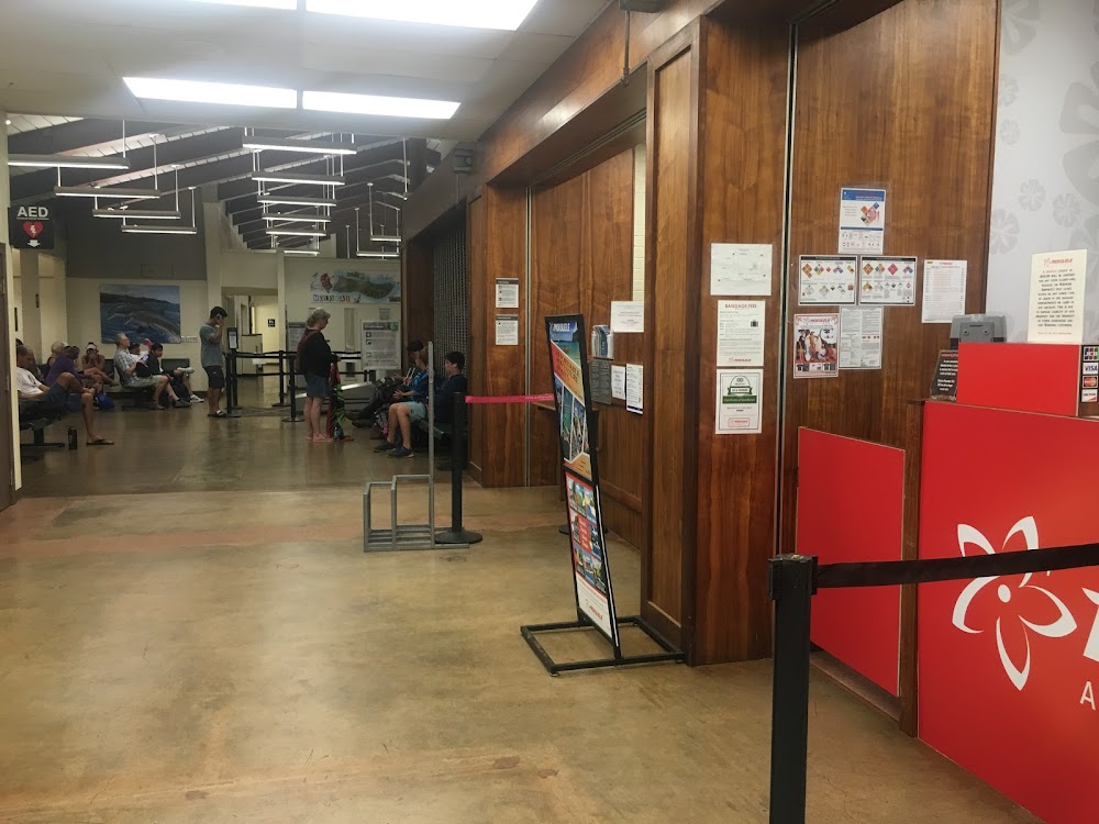
Access: Open to the public
Current Weather — VFR
-
Weather data is strictly informational and not for flight planning purposes.
-
METAR2026-07-20 07:19:00 HST
Ceiling: 5,000ft Wind: 030° @ 9kt, gusts 15kt Temperature: 73°F Dewpoint: 69°F Weather: N/A Visbility: 10SM Clouds: Few @ 400ft, Overcast @ 5,000ft Raw:SPECI PHMK 201719Z 03009G15KT 10SM FEW004 OVC050 23/21 A2998 RMK AO2 T02280206 -
TAF2026-07-20 08:00:00 HST – 2026-07-20 10:00:00 HST
Ceiling: 3,500ft Wind: 030° @ 8kt Weather: Showers in vicinity Visbility: 6SM Clouds: Scattered @ 2,500ft, Broken @ 3,500ft, Broken @ 5,000ft Raw:TAF PHMK 201725Z 2018/2118 03008KT P6SM VCSH SCT025 BKN035 BKN050 FM202000 06013G21KT P6SM VCSH SCT025 BKN035 BKN060 FM210600 06008KT P6SM VCSH SCT025 SCT040 AMD NOT SKED -
TAF2026-07-20 10:00:00 HST – 2026-07-20 20:00:00 HST
Ceiling: 3,500ft Wind: 060° @ 13kt, gusts 21kt Weather: Showers in vicinity Visbility: 6SM Clouds: Scattered @ 2,500ft, Broken @ 3,500ft, Broken @ 6,000ft Raw:TAF PHMK 201725Z 2018/2118 03008KT P6SM VCSH SCT025 BKN035 BKN050 FM202000 06013G21KT P6SM VCSH SCT025 BKN035 BKN060 FM210600 06008KT P6SM VCSH SCT025 SCT040 AMD NOT SKED -
TAF2026-07-20 20:00:00 HST – 2026-07-21 08:00:00 HST
Ceiling: Sky clear Wind: 060° @ 8kt Weather: Showers in vicinity Visbility: 6SM Clouds: Scattered @ 2,500ft, Scattered @ 4,000ft Raw:TAF PHMK 201725Z 2018/2118 03008KT P6SM VCSH SCT025 BKN035 BKN050 FM202000 06013G21KT P6SM VCSH SCT025 BKN035 BKN060 FM210600 06008KT P6SM VCSH SCT025 SCT040 AMD NOT SKED
Click/tap to add an annotation marker to the map
No webcams added yet.
Remarks
- This airport has been surveyed by the national geodetic survey.
- Arpt closed to air carrier ops with 10 or more passenger seats 1930-0600 except ppr, call 808-567-9660/9663.
- 24 hrs ppr for division 1.1,1.2,1.3 explosives and 4 hrs ppr for other hazardous material in/out of arpt ctc 808-567-6140/6008.
- Mtn approximately 1280' msl lctd 2.8 nm from rwy 05 thr on cntrln extdd.
- Be alert to egrets and pigeons on & invof arpt.
Comments