Pirep is a free, collaborative database of all public and private airports. All pilots are welcome to contribute their local knowledge to any airport, no registration required.


Public
METAR / TAF
Edit Tags
No upcoming events. Is anything happening here soon?
Airport Statistics
- Transient parking location
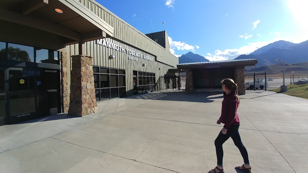
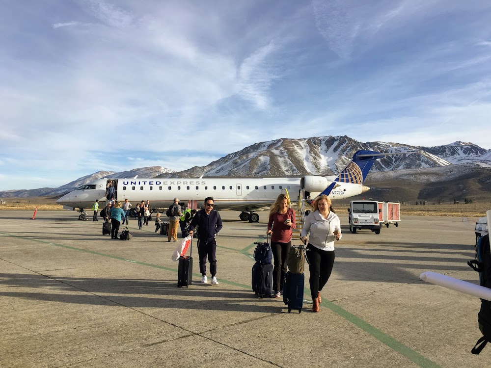
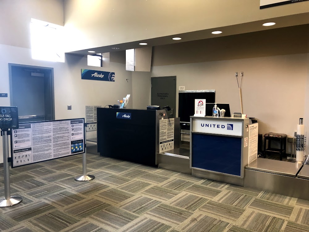
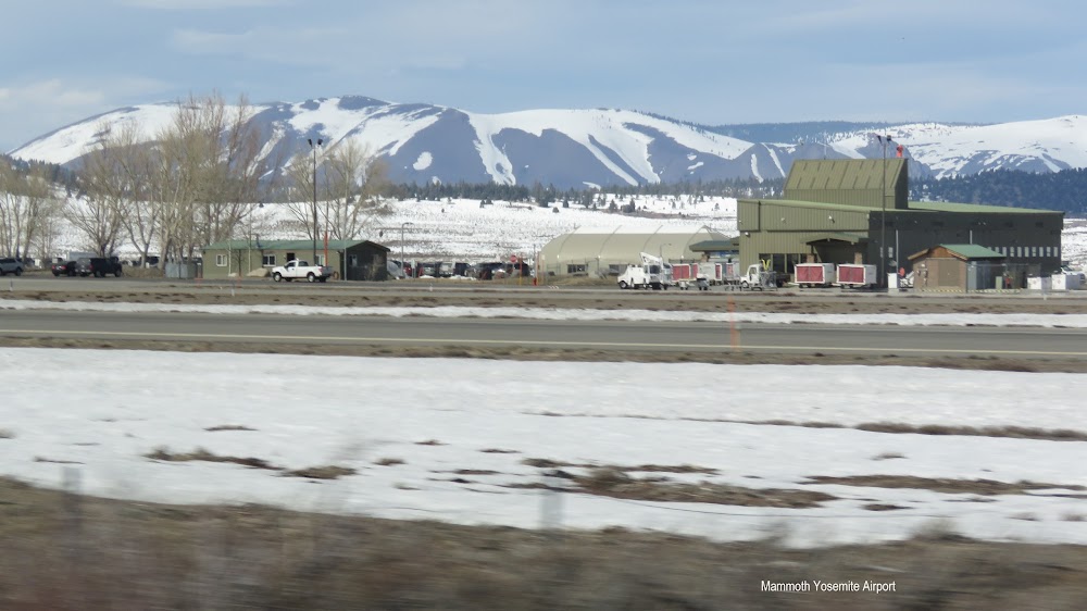
- General description
- Fuel pump location
Location:
Mammoth Lakes, CA
Elevation:
7,134ft
Sectional:
San Francisco
Activation date:
Sep 1947
Fuel:
100LL, A (prices)
Runway 09/27:
7,000ft
Access: Open to the public
Current Weather — VFR
-
Weather data is strictly informational and not for flight planning purposes.
-
METAR2026-07-20 15:15:00 PDT
Ceiling: 8,500ft Wind: 210° @ 20kt, gusts 31kt Temperature: 73°F Dewpoint: 46°F Weather: N/A Visbility: 10SM Clouds: Broken @ 8,500ft, Broken @ 11,000ft Raw:METAR KMMH 202215Z AUTO 21020G31KT 10SM BKN085 BKN110 23/08 A3026 RMK AO2 -
TAF2026-07-20 11:00:00 PDT – 2026-07-20 13:00:00 PDT
Ceiling: Sky clear Wind: 130° @ 7kt Weather: N/A Visbility: 6SM Clouds: Scattered @ 7,000ft, Scattered @ 20,000ft Raw:TAF KMMH 201755Z 2018/2118 13007KT P6SM SCT070 SCT200 FM202000 21009G17KT P6SM BKN070 BKN200 PROB30 2020/2022 P6SM -TSRA BKN080CB FM202200 24015G20KT P6SM VCTS BKN080CB TEMPO 2022/2102 VRB15G30KT 5SM -TSRA BKN070CB FM210200 28008KT P6SM VCTS BKN080CB TEMPO 2102/2105 VRB15G30KT 5SM -TSRA BKN070CB FM210500 28006KT P6SM BKN080 FM211100 VRB04KT P6SM BKN080 -
TAF2026-07-20 13:00:00 PDT – 2026-07-20 15:00:00 PDT
Ceiling: 7,000ft Wind: 210° @ 9kt, gusts 17kt Weather: N/A Visbility: 6SM Clouds: Broken @ 7,000ft, Broken @ 20,000ft Raw:TAF KMMH 201755Z 2018/2118 13007KT P6SM SCT070 SCT200 FM202000 21009G17KT P6SM BKN070 BKN200 PROB30 2020/2022 P6SM -TSRA BKN080CB FM202200 24015G20KT P6SM VCTS BKN080CB TEMPO 2022/2102 VRB15G30KT 5SM -TSRA BKN070CB FM210200 28008KT P6SM VCTS BKN080CB TEMPO 2102/2105 VRB15G30KT 5SM -TSRA BKN070CB FM210500 28006KT P6SM BKN080 FM211100 VRB04KT P6SM BKN080 -
TAF2026-07-20 13:00:00 PDT – 2026-07-20 15:00:00 PDT
Ceiling: 8,000ft Wind: 000° @ kt Weather: Light thunderstorm rain Visbility: 6SM Clouds: Broken @ 8,000ft Raw:TAF KMMH 201755Z 2018/2118 13007KT P6SM SCT070 SCT200 FM202000 21009G17KT P6SM BKN070 BKN200 PROB30 2020/2022 P6SM -TSRA BKN080CB FM202200 24015G20KT P6SM VCTS BKN080CB TEMPO 2022/2102 VRB15G30KT 5SM -TSRA BKN070CB FM210200 28008KT P6SM VCTS BKN080CB TEMPO 2102/2105 VRB15G30KT 5SM -TSRA BKN070CB FM210500 28006KT P6SM BKN080 FM211100 VRB04KT P6SM BKN080 -
TAF2026-07-20 15:00:00 PDT – 2026-07-20 19:00:00 PDT
Ceiling: 8,000ft Wind: 240° @ 15kt, gusts 20kt Weather: Thunderstorm in vicinity Visbility: 6SM Clouds: Broken @ 8,000ft Raw:TAF KMMH 201755Z 2018/2118 13007KT P6SM SCT070 SCT200 FM202000 21009G17KT P6SM BKN070 BKN200 PROB30 2020/2022 P6SM -TSRA BKN080CB FM202200 24015G20KT P6SM VCTS BKN080CB TEMPO 2022/2102 VRB15G30KT 5SM -TSRA BKN070CB FM210200 28008KT P6SM VCTS BKN080CB TEMPO 2102/2105 VRB15G30KT 5SM -TSRA BKN070CB FM210500 28006KT P6SM BKN080 FM211100 VRB04KT P6SM BKN080 -
TAF2026-07-20 15:00:00 PDT – 2026-07-20 19:00:00 PDT
Ceiling: 7,000ft Wind: Variable, gusts 30kt Weather: Light thunderstorm rain Visbility: 5SM Clouds: Broken @ 7,000ft Raw:TAF KMMH 201755Z 2018/2118 13007KT P6SM SCT070 SCT200 FM202000 21009G17KT P6SM BKN070 BKN200 PROB30 2020/2022 P6SM -TSRA BKN080CB FM202200 24015G20KT P6SM VCTS BKN080CB TEMPO 2022/2102 VRB15G30KT 5SM -TSRA BKN070CB FM210200 28008KT P6SM VCTS BKN080CB TEMPO 2102/2105 VRB15G30KT 5SM -TSRA BKN070CB FM210500 28006KT P6SM BKN080 FM211100 VRB04KT P6SM BKN080 -
TAF2026-07-20 19:00:00 PDT – 2026-07-20 22:00:00 PDT
Ceiling: 8,000ft Wind: 280° @ 8kt Weather: Thunderstorm in vicinity Visbility: 6SM Clouds: Broken @ 8,000ft Raw:TAF KMMH 201755Z 2018/2118 13007KT P6SM SCT070 SCT200 FM202000 21009G17KT P6SM BKN070 BKN200 PROB30 2020/2022 P6SM -TSRA BKN080CB FM202200 24015G20KT P6SM VCTS BKN080CB TEMPO 2022/2102 VRB15G30KT 5SM -TSRA BKN070CB FM210200 28008KT P6SM VCTS BKN080CB TEMPO 2102/2105 VRB15G30KT 5SM -TSRA BKN070CB FM210500 28006KT P6SM BKN080 FM211100 VRB04KT P6SM BKN080 -
TAF2026-07-20 22:00:00 PDT – 2026-07-21 04:00:00 PDT
Ceiling: 8,000ft Wind: 280° @ 6kt Weather: N/A Visbility: 6SM Clouds: Broken @ 8,000ft Raw:TAF KMMH 201755Z 2018/2118 13007KT P6SM SCT070 SCT200 FM202000 21009G17KT P6SM BKN070 BKN200 PROB30 2020/2022 P6SM -TSRA BKN080CB FM202200 24015G20KT P6SM VCTS BKN080CB TEMPO 2022/2102 VRB15G30KT 5SM -TSRA BKN070CB FM210200 28008KT P6SM VCTS BKN080CB TEMPO 2102/2105 VRB15G30KT 5SM -TSRA BKN070CB FM210500 28006KT P6SM BKN080 FM211100 VRB04KT P6SM BKN080 -
TAF2026-07-21 04:00:00 PDT – 2026-07-21 11:00:00 PDT
Ceiling: 8,000ft Wind: Variable Weather: N/A Visbility: 6SM Clouds: Broken @ 8,000ft Raw:TAF KMMH 201755Z 2018/2118 13007KT P6SM SCT070 SCT200 FM202000 21009G17KT P6SM BKN070 BKN200 PROB30 2020/2022 P6SM -TSRA BKN080CB FM202200 24015G20KT P6SM VCTS BKN080CB TEMPO 2022/2102 VRB15G30KT 5SM -TSRA BKN070CB FM210200 28008KT P6SM VCTS BKN080CB TEMPO 2102/2105 VRB15G30KT 5SM -TSRA BKN070CB FM210500 28006KT P6SM BKN080 FM211100 VRB04KT P6SM BKN080
Click/tap to add an annotation marker to the map
No webcams added yet.
Remarks
- Clsd to acr opns of chtr opns, bus jet opns, and skedd coml opns of acr with more than 30 psgrs and/or wingspans gtr than 79 feet excp 24 hr ppr. call amgr 760-965-3654.
- Ridge 3 nm fm apch end rwy 09.
- Ridge at rwy 27 is 304 ft above rwy & 1200 ft north of cntrln with hazard beacons.
- Arpt lctd in mountainous terrain with ocnl strong winds and turbulence. lgtd windsock avbl at ry ends and centerfield; with southerly crosswinds in excess of 15 knots; expc turbulence and psbl windshear along first 3000 ft of ry 27.
- Night flying not recommended without knowledge of local terrain.
- Noise abatement: acft arr fm the south, or dep to the south remain east of hwy 395.
- No snow removal drg ngt hrs (1630-0700l) wo prior pmsn.
- 33 ft pole lctd 400 ft west of apch end of ry 27 and 375 ft south of ry 27 centerline marked with obstruction light.
Comments