Pirep is a free, collaborative database of all public and private airports. All pilots are welcome to contribute their local knowledge to any airport, no registration required.

Public
Undocumented
Edit Tags
No upcoming events. Is anything happening here soon?
Airport Statistics
- WiFi availability
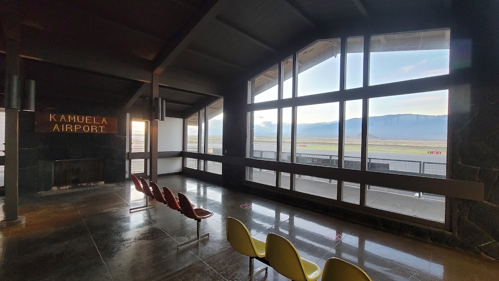
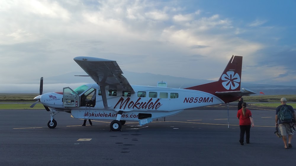
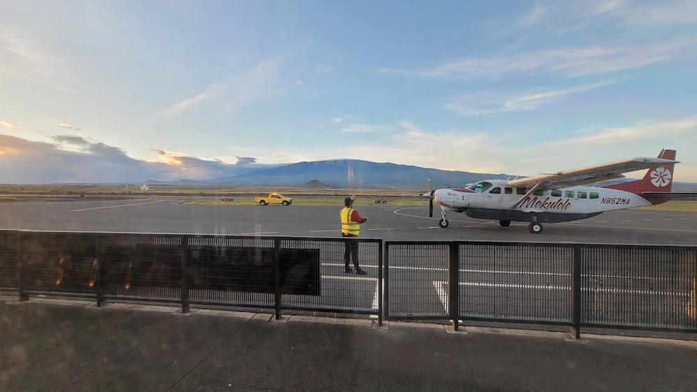
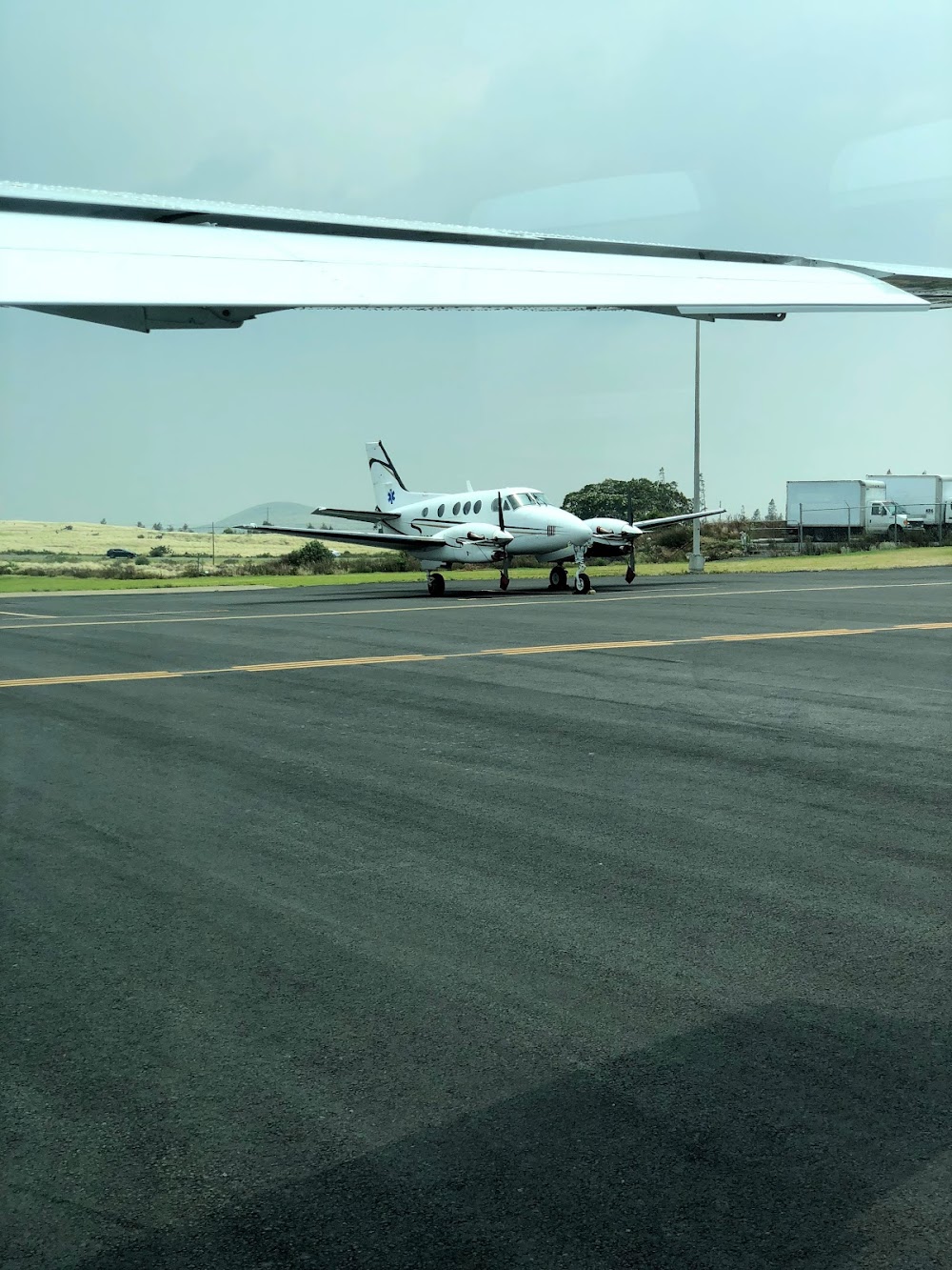
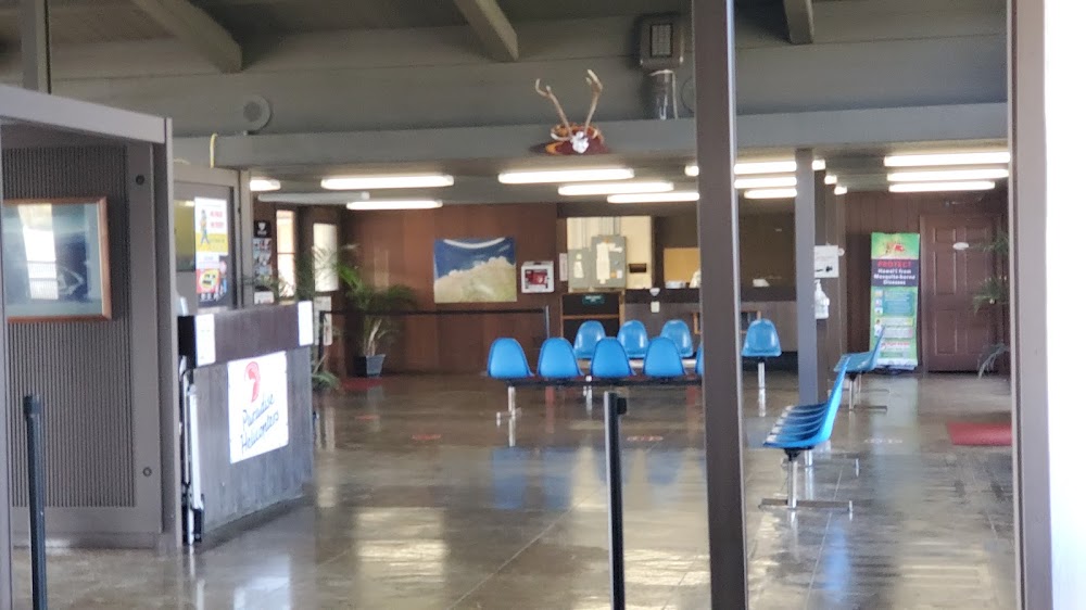
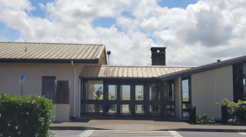
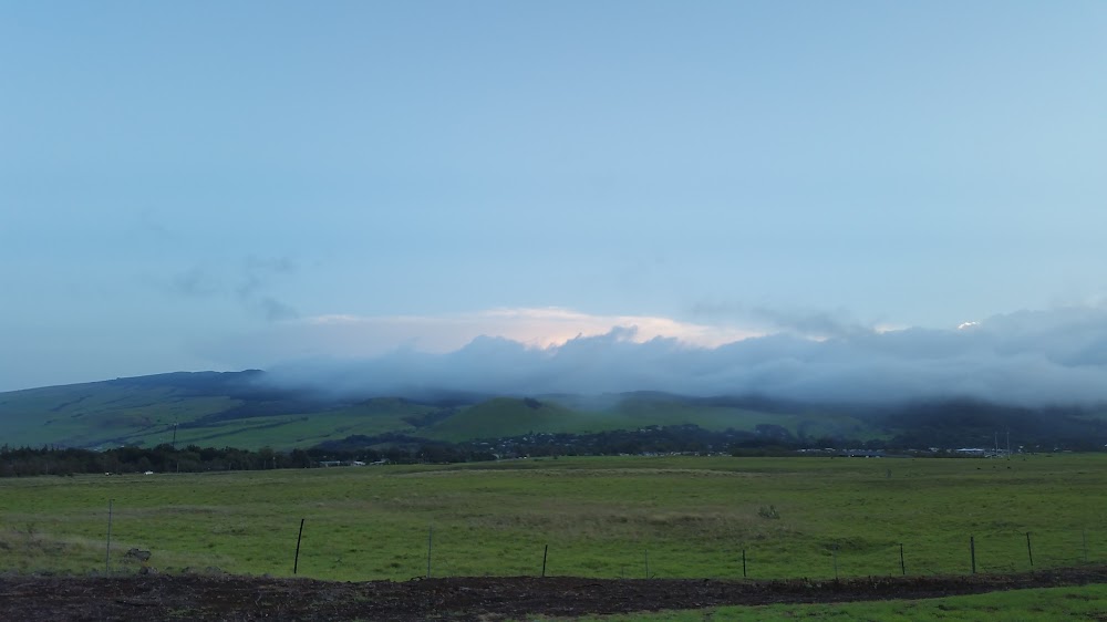
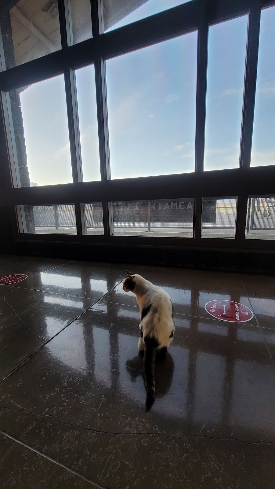
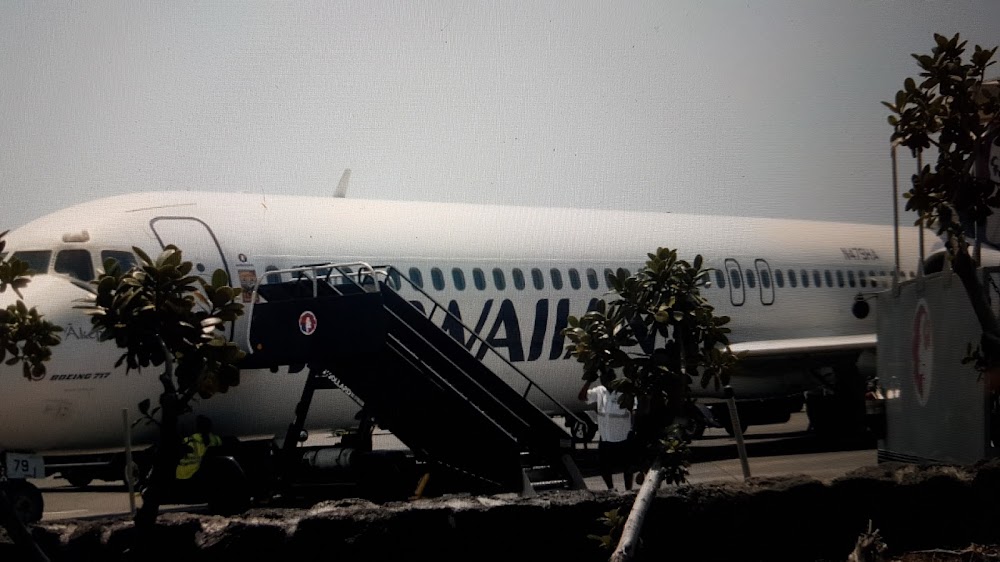
- Airport photos
- Fuel pump location
Location:
Kamuela, HI
Elevation:
2,671ft
Sectional:
Hawaiian Islands
Activation date:
Apr 1953
Fuel:
None
Runway 04/22:
5,197ft
Access: Open to the public
Click/tap to add an annotation marker to the map
No webcams added yet.
Remarks
- This airport has been surveyed by the national geodetic survey.
- <tpa small acft 3500' msl. large acft 4200' msl.
- Ocnl flocks of pigeons on arpt and near ry 04/22.
- Ppr for transient parking.
- Ppr fm arpt mgr phone (808)327-9520 for transportation of division 1.1,1.2,1.3 explosives in or out of airport.
- All helicopters confine opns to paved areas only.
- Ry 04 30 ft trees 275 ft r of cntrln 3000 ft fm apch end ry.
- For cd ctc honolulu control facility at 808-840-6262.
Comments