Pirep is a free, collaborative database of all public and private airports. All pilots are welcome to contribute their local knowledge to any airport, no registration required.
Public
Undocumented
Edit Tags
No upcoming events. Is anything happening here soon?
Airport Statistics
- WiFi availability
- Tags
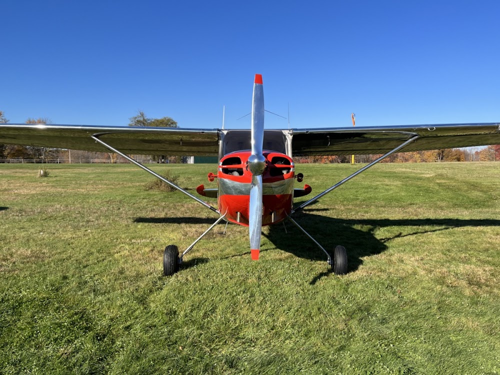
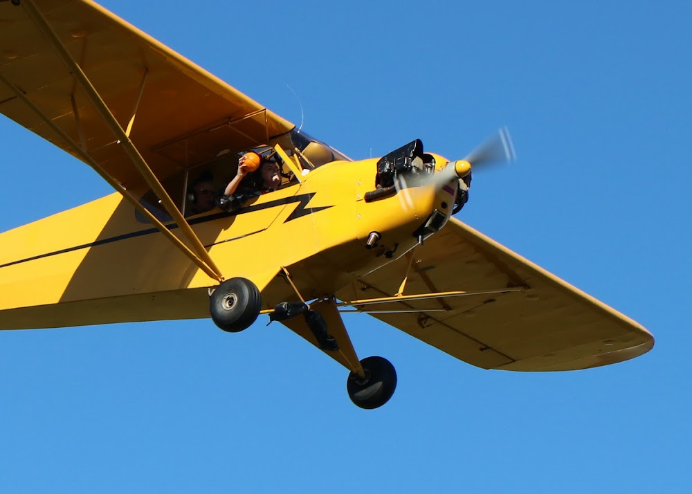
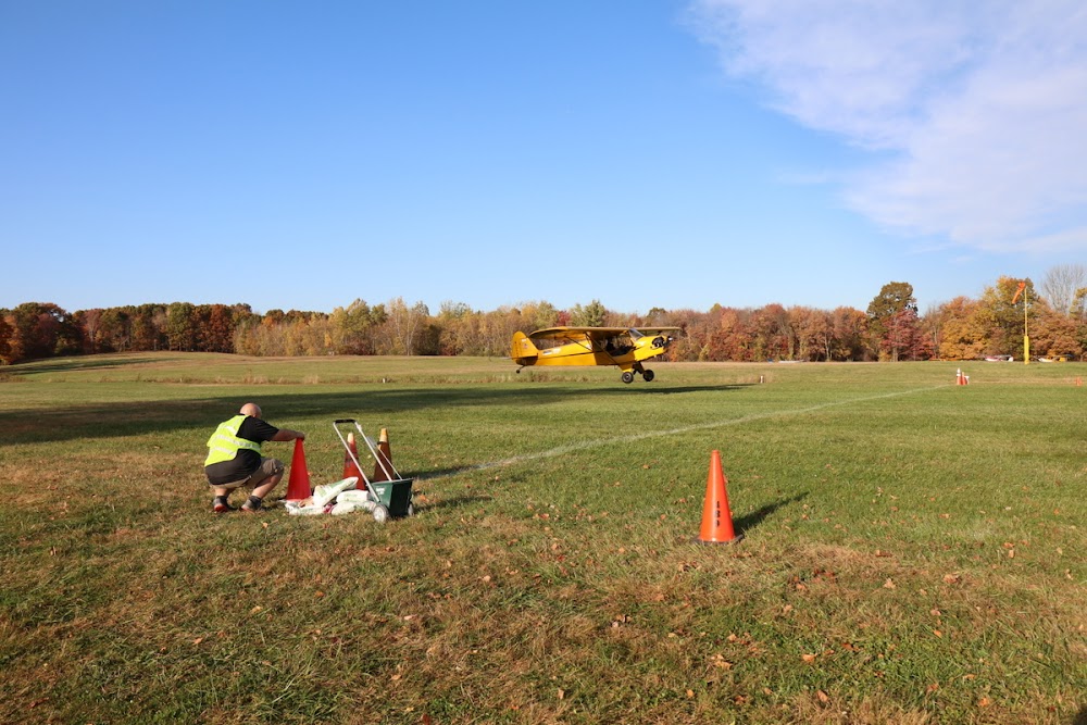
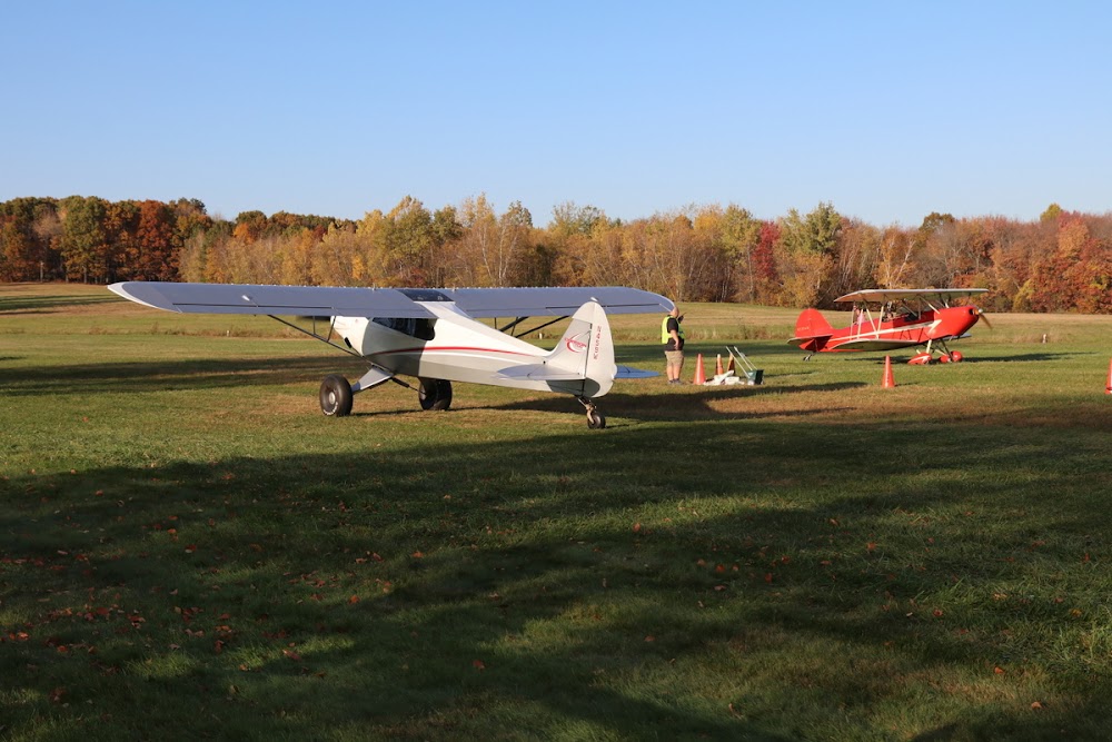
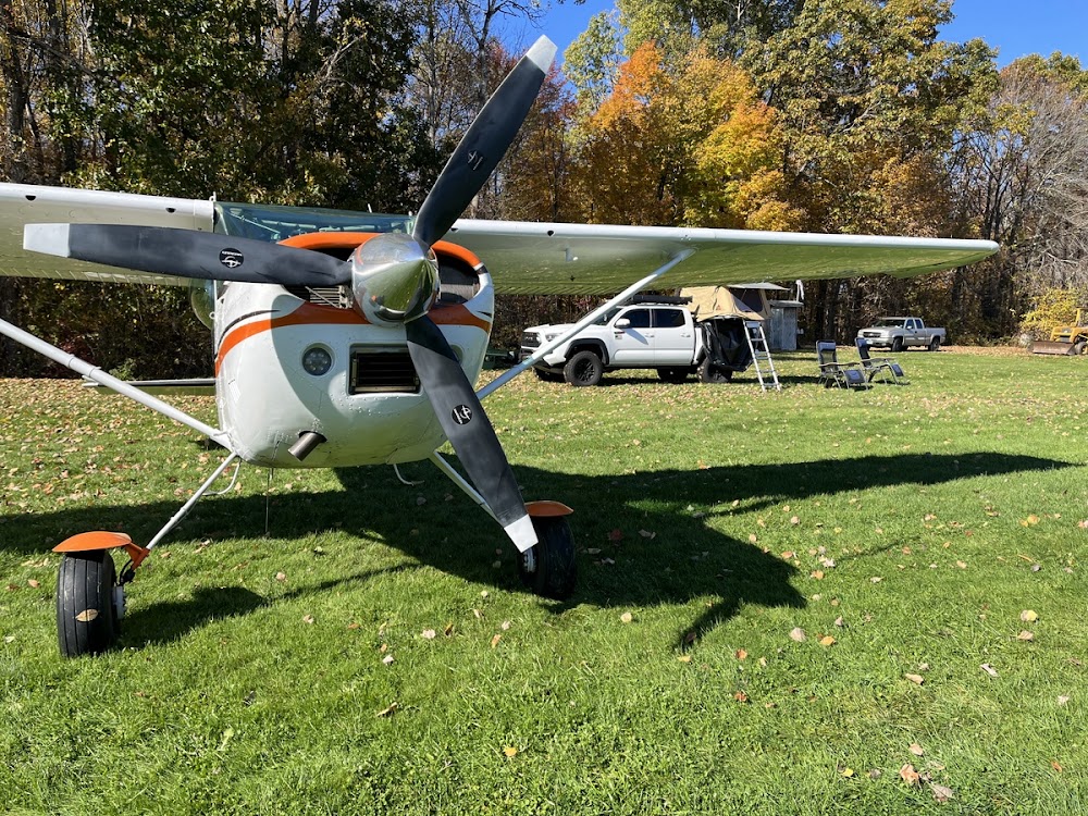
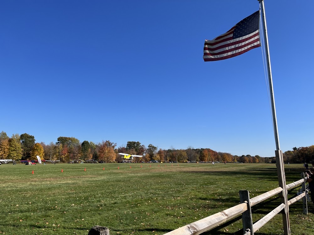
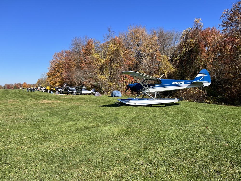
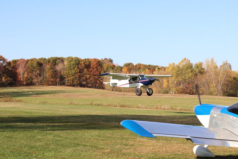
- Airport photos
Location:
Waterbury, CT
Elevation:
850ft
Sectional:
New York
Activation date:
Jan 1937
Fuel:
None
Runway 17/35:
2,005ft
Runway 02/20:
1,600ft
Access: Open to the public
This airport is privately owned but open to the public.
Click/tap to add an annotation marker to the map
No webcams added yet.
Remarks
- Existed prior to 1959.
- Turf rwys are soft during wet pds.
- For cd ctc bradley apch at 860-386-3597.
- Apch 662 ft.
- Apch 1381 ft.
- Apch 674 ft.
- Apch 1476 ft.
- Poor drainage ldg/tax aer 35 winter mos & after hvy rain.
Comments