Pirep is a free, collaborative database of all public and private airports. All pilots are welcome to contribute their local knowledge to any airport, no registration required.

Undocumented
METAR / TAF
Edit Tags
No upcoming events. Is anything happening here soon?
Airport Statistics
- Fuel pump location
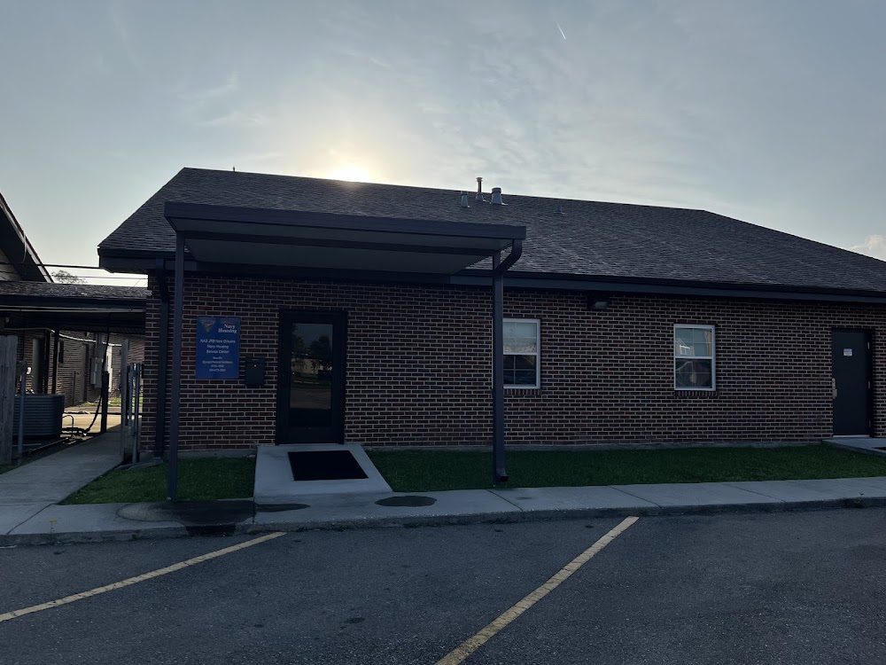
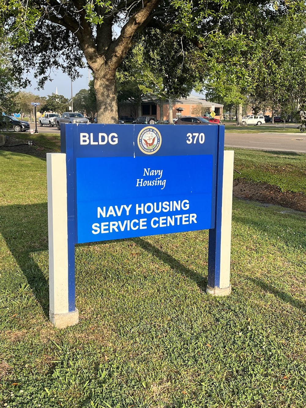
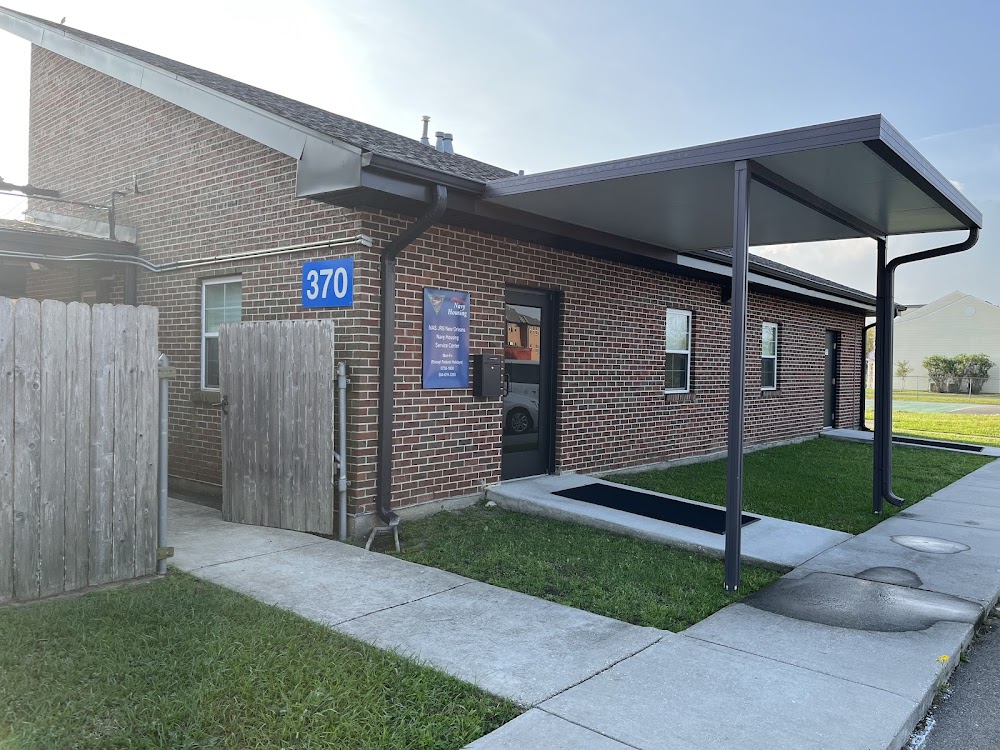
- Airport photos
- Tags
Location:
New Orleans, LA
Elevation:
2ft
Sectional:
New Orleans
Activation date:
Apr 1940
Fuel:
None
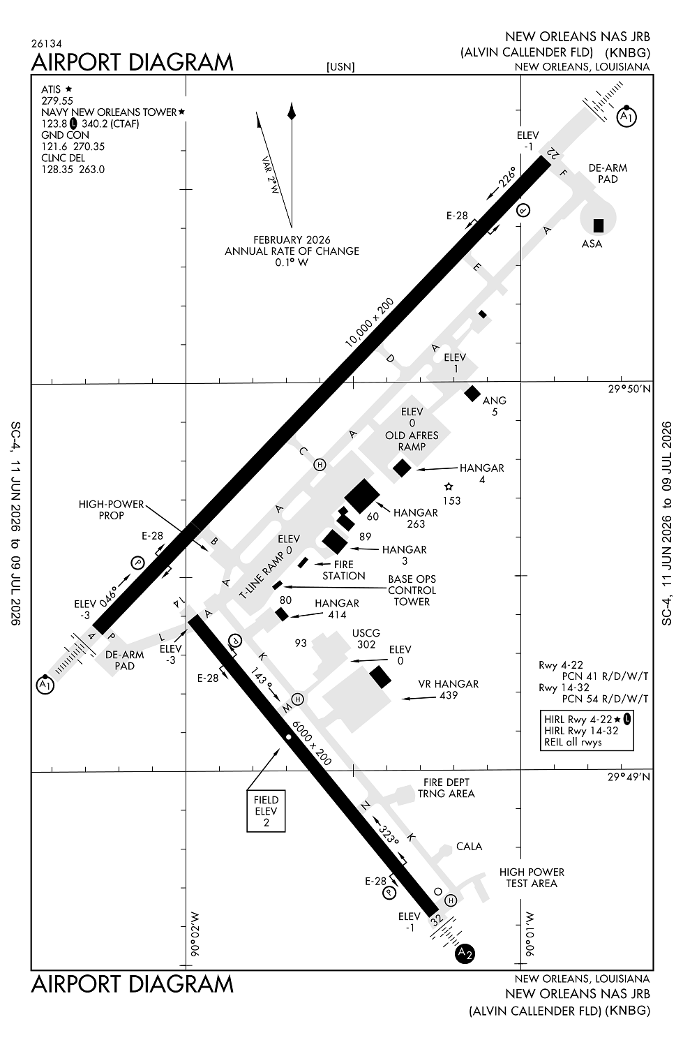
Runway 04/22:
10,000ft
Runway 14/32:
6,000ft
Access: Private to everyone
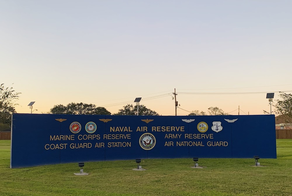
This is a military facility.
Current Weather — VFR
-
Weather data is strictly informational and not for flight planning purposes.
-
METAR2026-07-20 08:55:00 CDT
Ceiling: Sky clear Wind: 360° @ 7kt Temperature: 89°F Dewpoint: 75°F Weather: N/A Visbility: 10SM Clouds: Few @ 12,000ft Raw:METAR KNBG 201355Z 36007KT 10SM FEW120 32/24 A2994 RMK AO2 SLP137 T03170239 -
TAF2026-07-20 02:00:00 CDT – 2026-07-20 16:00:00 CDT
Ceiling: Sky clear Wind: 300° @ 8kt Weather: N/A Visbility: 6SM Clouds: Scattered @ 3,000ft, Scattered @ 6,000ft Raw:TAF KNBG 200700Z 2007/2107 30008KT 9999 SCT030 SCT060 QNH2980INS BECMG 2021/2023 35006KT 9999 VCSH BKN050 QNH2979INS TEMPO 2023/2102 6000 SHRA FM210300 VRB06KT 8000 SHRA OVC080 QNH2980INS AUTOMATED SENSOR METWATCH 2007 TIL 2010 TX36/2020Z TN27/2012Z FN00276 -
TAF2026-07-20 16:00:00 CDT – 2026-07-20 22:00:00 CDT
Ceiling: 5,000ft Wind: 350° @ 6kt Weather: Showers in vicinity Visbility: 6SM Clouds: Broken @ 5,000ft Raw:TAF KNBG 200700Z 2007/2107 30008KT 9999 SCT030 SCT060 QNH2980INS BECMG 2021/2023 35006KT 9999 VCSH BKN050 QNH2979INS TEMPO 2023/2102 6000 SHRA FM210300 VRB06KT 8000 SHRA OVC080 QNH2980INS AUTOMATED SENSOR METWATCH 2007 TIL 2010 TX36/2020Z TN27/2012Z FN00276 -
TAF2026-07-20 18:00:00 CDT – 2026-07-20 21:00:00 CDT
Ceiling: Sky clear Wind: 000° @ kt Weather: Rain showers Visbility: 3SM Raw:TAF KNBG 200700Z 2007/2107 30008KT 9999 SCT030 SCT060 QNH2980INS BECMG 2021/2023 35006KT 9999 VCSH BKN050 QNH2979INS TEMPO 2023/2102 6000 SHRA FM210300 VRB06KT 8000 SHRA OVC080 QNH2980INS AUTOMATED SENSOR METWATCH 2007 TIL 2010 TX36/2020Z TN27/2012Z FN00276 -
TAF2026-07-20 22:00:00 CDT – 2026-07-21 02:00:00 CDT
Ceiling: 8,000ft Wind: Variable Weather: Rain showers Visbility: 4SM Clouds: Overcast @ 8,000ft Raw:TAF KNBG 200700Z 2007/2107 30008KT 9999 SCT030 SCT060 QNH2980INS BECMG 2021/2023 35006KT 9999 VCSH BKN050 QNH2979INS TEMPO 2023/2102 6000 SHRA FM210300 VRB06KT 8000 SHRA OVC080 QNH2980INS AUTOMATED SENSOR METWATCH 2007 TIL 2010 TX36/2020Z TN27/2012Z FN00276
Click/tap to add an annotation marker to the map
No webcams added yet.
Remarks
- Rstd: ppr all acft 48 hr prior notice dsn 678-3602/3603, c504-678-3602/3603.
- Cat b afld.
- Numerous birds on & invof arpt.
- Cstms/ag/img - avbl to mil acft/pers only, coord with airfield services dsn 678-3602, c504-678-3602. other cstms requirements ctc c504-623-6600 for appointment.
- Tran alert: opr 1300-0500z++.
Comments