Pirep is a free, collaborative database of all public and private airports. All pilots are welcome to contribute their local knowledge to any airport, no registration required.

Private
Undocumented
Edit Tags
No upcoming events. Is anything happening here soon?
Airport Statistics
- Webcam links
- Transient parking location
- Local flying clubs
Location:
Fayetteville, NC
Elevation:
228ft
Sectional:
Charlotte
Activation date:
Feb 1979
Fuel:
None
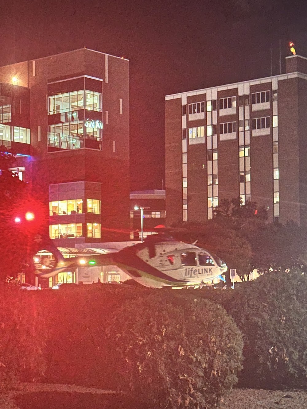
Runway H1:
90ft
Runway H2:
65ft
Runway H3:
43ft
Access: Private to everyone
Is this airport privately owned but open to the public with or without restrictions? Or perhaps the owner is simply happy for pilots to stop by with prior permission?
Click/tap to add an annotation marker to the map
No webcams added yet.
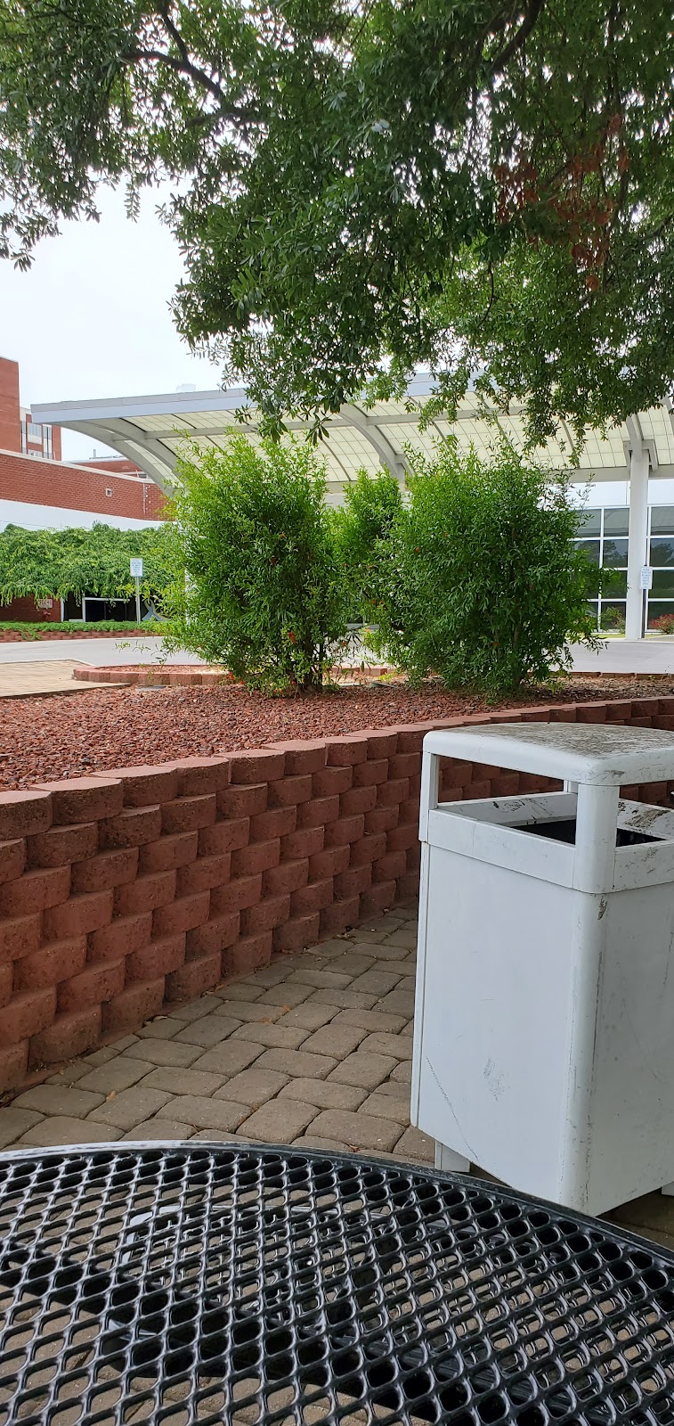
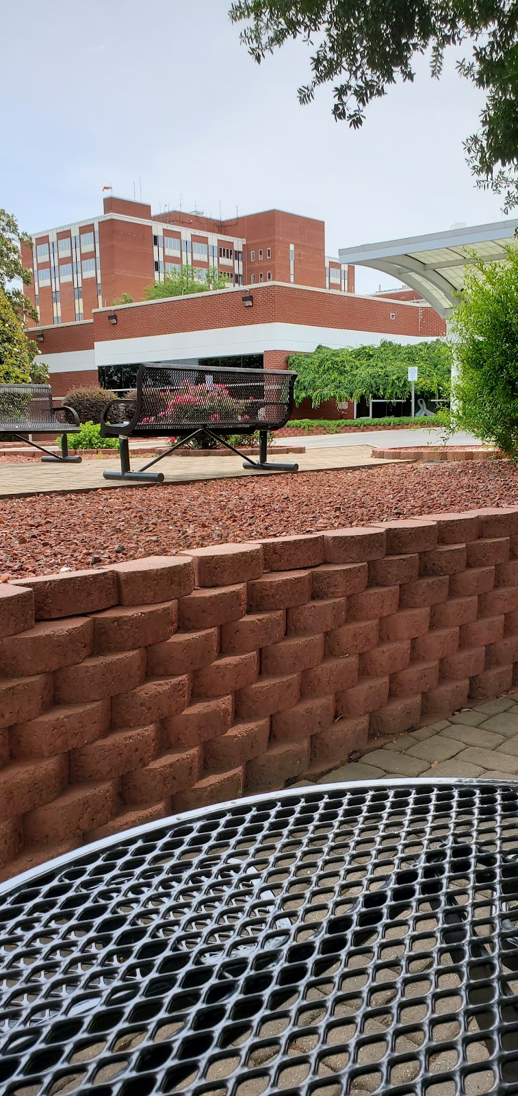
Remarks
- Opns limited to vfr wx conditions; landing area limited to pvt use; use of heliport coordinated with general aviation district office raleigh nc.
- Medical.
- For cd ctc washington artcc at 703-771-3587.
- Multicom 122.05 avbl.
- 330 ft fm bldg 200 ft fm helipad.
- H2 fato length 110 ft, fato width 110 ft. safety area length 147 ft, safety area width 147 ft. primary ingress 360, egress 360. helicopter vtol weight 22000 lbs. controlling dimension 65 ft.
- H3 fato length 73 ft, fato width 73 ft. safety area length 97 ft, safety area width 97 ft. primary ingress 140, egress 115. helicopter vtol weight 8000 lbs. controlling dimension 40 ft.
- Aluminum.
Comments