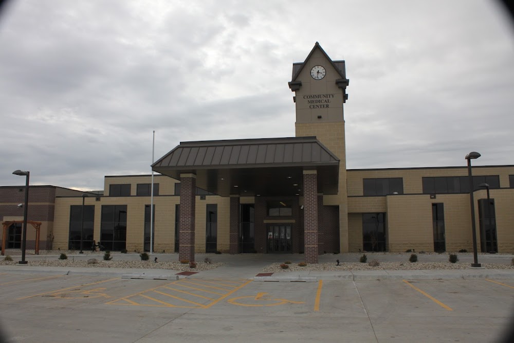
Pirep is a free, collaborative database of all public and private airports. All pilots are welcome to contribute their local knowledge to any airport, no registration required.

Private
Undocumented
Edit Tags
No upcoming events. Is anything happening here soon?
Airport Statistics
- Fuel pump location
- WiFi availability
- Airport map annotations
Location:
Falls City, NE
Elevation:
1,009ft
Sectional:
Omaha
Activation date:
May 2022
Fuel:
None
Runway H1:
45ft
Access: Private to everyone
Is this airport privately owned but open to the public with or without restrictions? Or perhaps the owner is simply happy for pilots to stop by with prior permission?
Click/tap to add an annotation marker to the map
No webcams added yet.
Remarks
- 1. the heliport meet and maintain the standards of faa advisory circular 150/5390-2(current edition) heliport design, including (but not limited to) the touchdown and liftoff area (tlof), final approach and takeoff area (fato), safety area, and 8:1 approach/departure surface and establish an acceptable level of safety for helicopter operations. 2. for proper application, flight standards recommends recalculating the tlof, fato, and safety area dimensions based on the most demanding aircraft (s-76). (ref: fig. 4-2) the heliport should be constructed with the following minimum dimensions: a tlof of 44 feet by 44 feet, fato of 78.75 feet by 78.75, and safety area of 108 feet by 108 feet. 3. the landing area is limited to private use, single helicopter within each safety area. (ref: para. 402) 4. the proponent should ensure that all fixed objects located within the safety area do not project above the fato elevation, except for lighting fixtures, which may project a maximum of 2 inches. (ref: para. 407) 5. only one helicopter should occupy the helipad at a time. (ref: para. 408) 6. all helicopter approach/departure route operations are conducted on a 180 degrees clockwise to 270 degrees egress (departure) heading using the center of the proposed tlof as a reference point. (ref: para. 409) 7. vfr approach/departure lateral extension is applied to this heliport for obstacle clearance (ref: para. 409b(4)) 8. a non-obstructing wind ...
- Owner does not desires arpt be charted.
Comments