Pirep is a free, collaborative database of all public and private airports. All pilots are welcome to contribute their local knowledge to any airport, no registration required.
Undocumented
METAR / TAF
Edit Tags
No upcoming events. Is anything happening here soon?
Airport Statistics
- Airport photos
- Webcam links
- WiFi availability
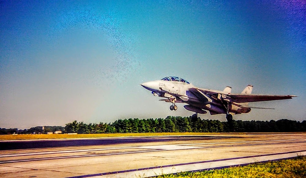
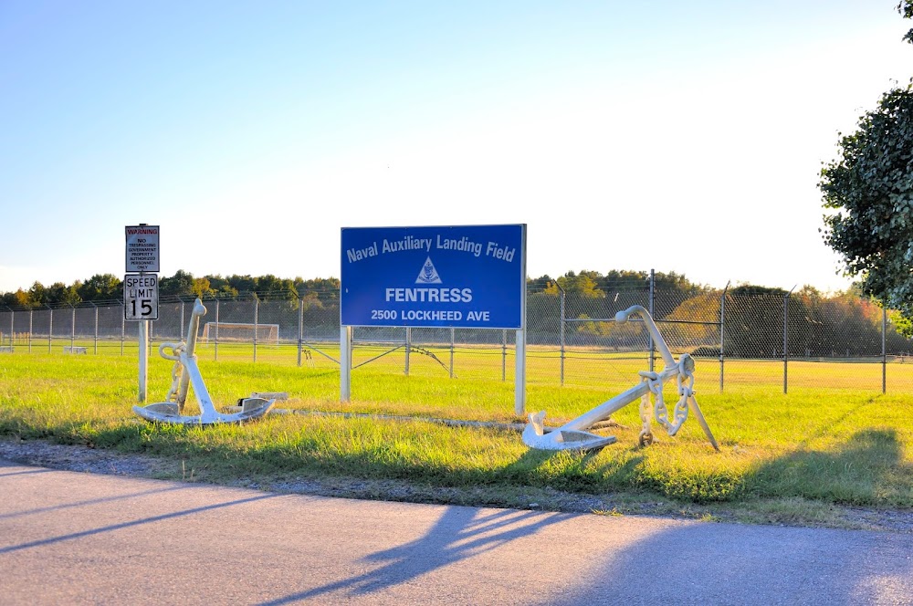
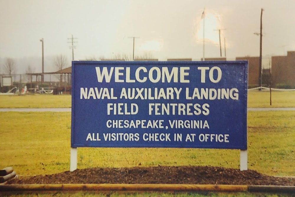
Location:
Fentress, VA
Elevation:
16ft
Sectional:
Washington
Activation date:
Aug 1943
Fuel:
None
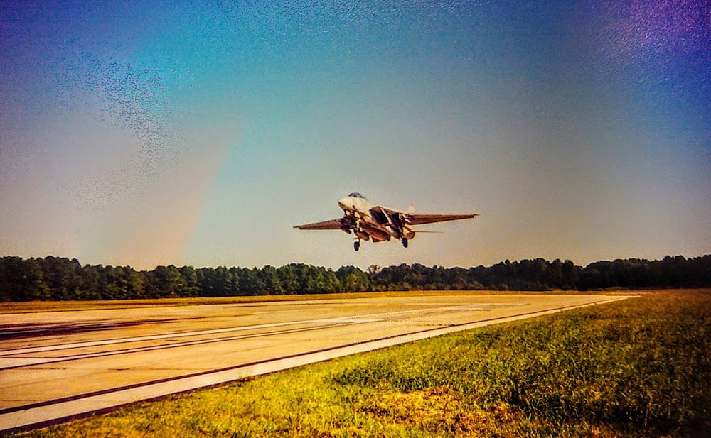
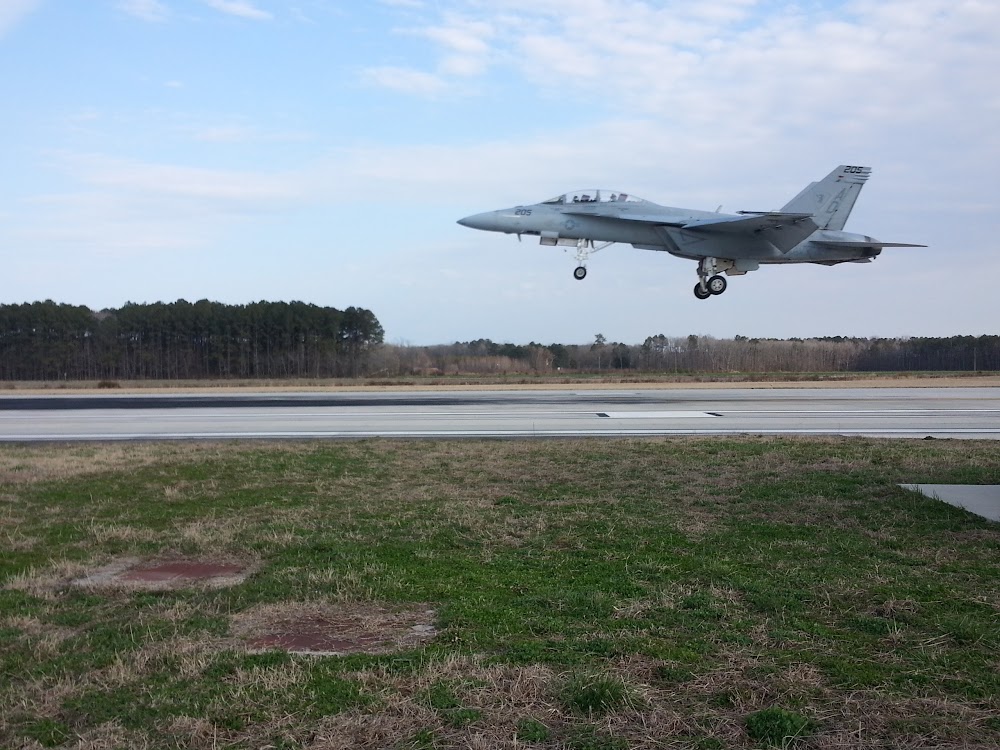
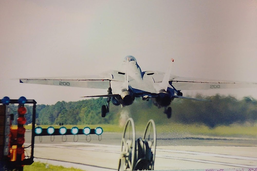
Runway 05/23:
8,004ft
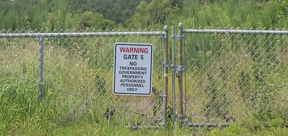
Access: Private to everyone
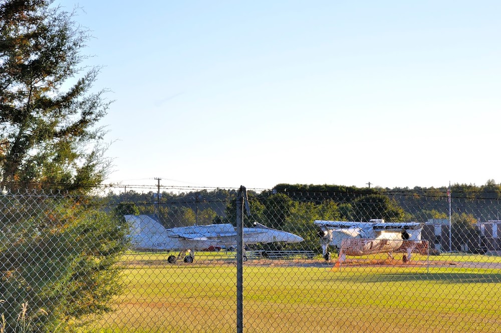
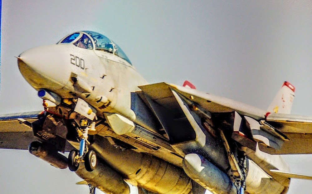
This is a military facility.
Click/tap to add an annotation marker to the map
No webcams added yet.
Remarks
- For cd ctc washington artcc at 703-771-3587.
- Ry lgts operated by crash crew during scheduled opns.
Comments