Pirep is a free, collaborative database of all public and private airports. All pilots are welcome to contribute their local knowledge to any airport, no registration required.
Undocumented
METAR / TAF
Edit Tags
No upcoming events. Is anything happening here soon?
Airport Statistics
- General description
- Fuel pump location
- Landing & tie-down fees
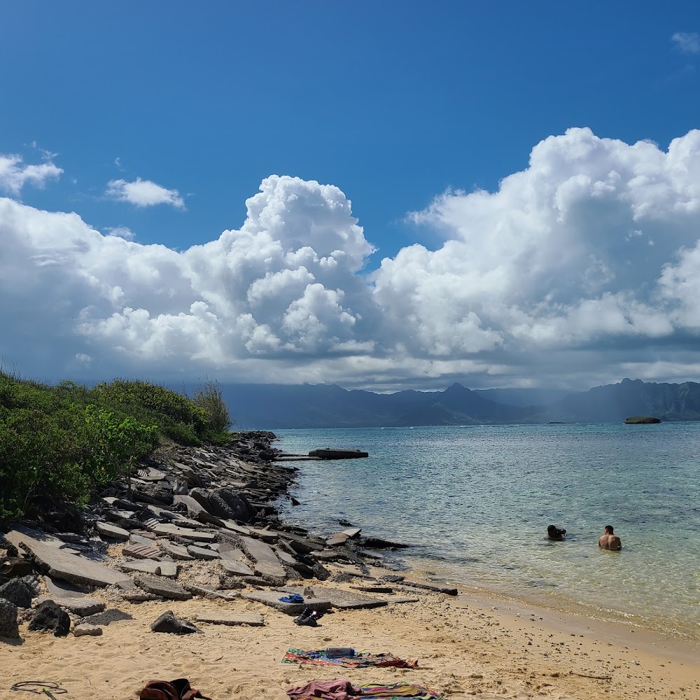
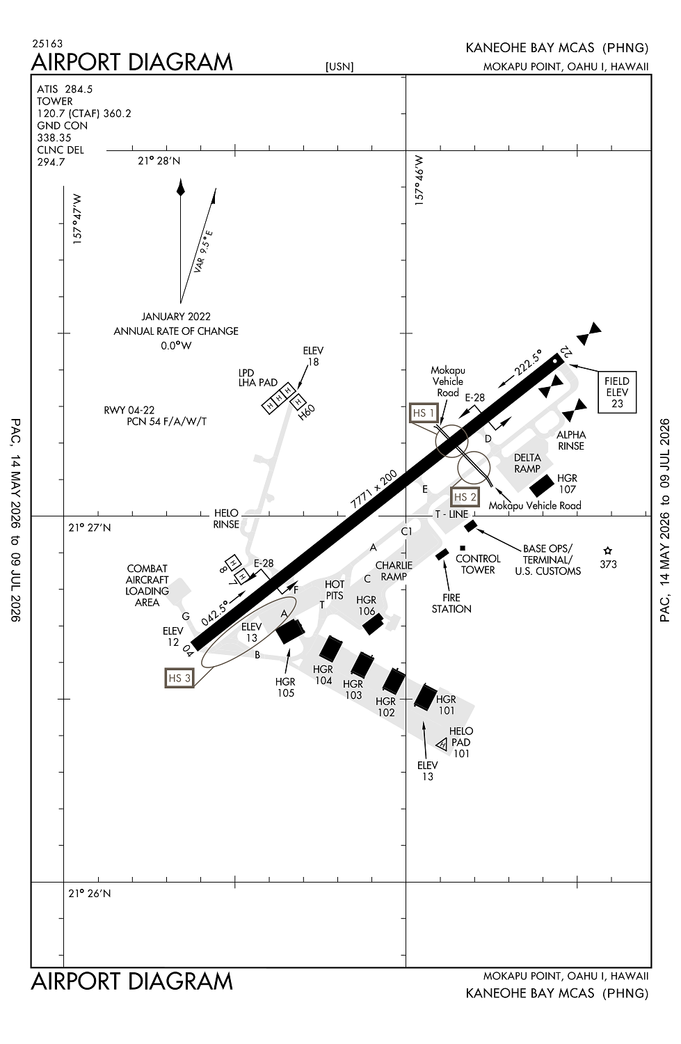
Location:
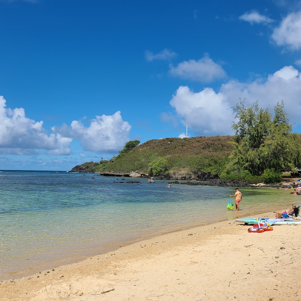
Kaneohe, HI
Elevation:
23ft
Sectional:
Hawaiian Islands
Activation date:
Sep 1946
Fuel:
None
Runway 04/22:
7,771ft
Access: Private to everyone
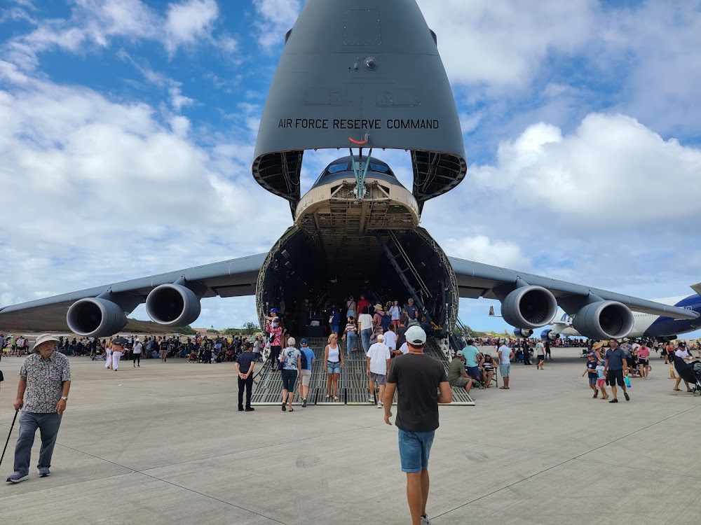
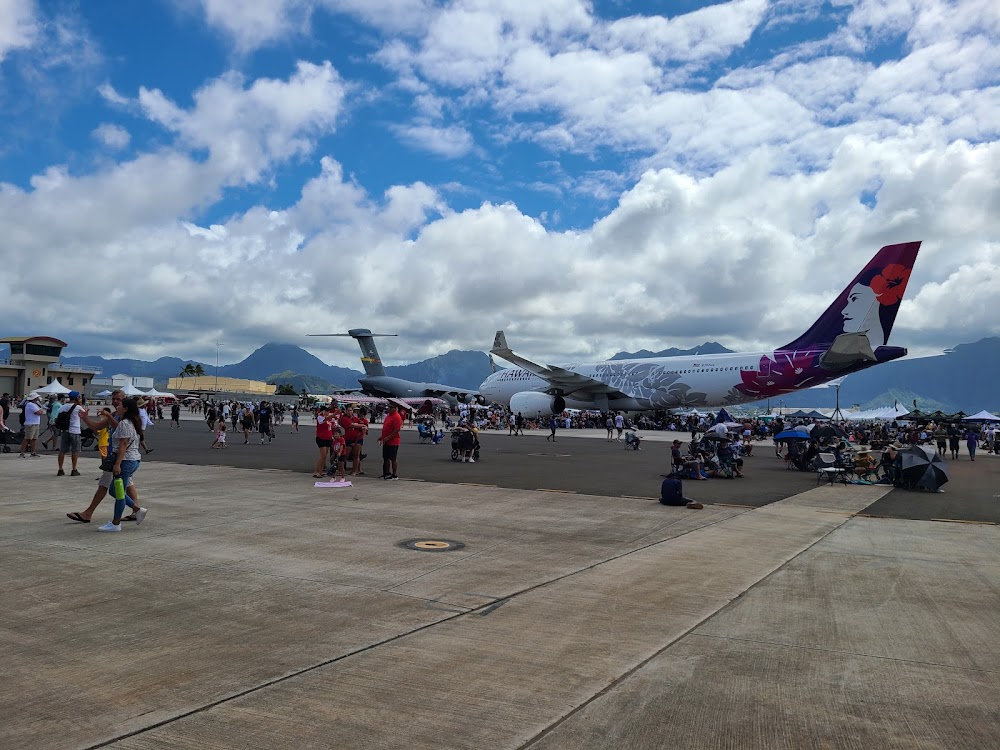
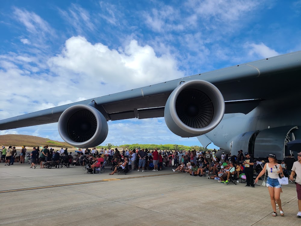
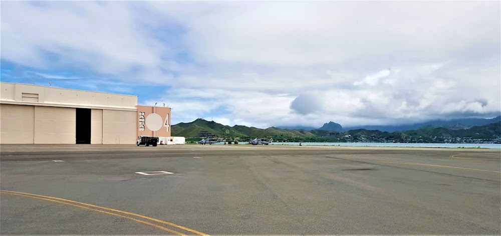
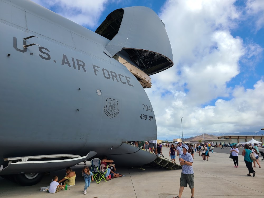
This is a military facility.
Click/tap to add an annotation marker to the map
No webcams added yet.
Remarks
- (e114) j5 (nato code f-44) fuel avbl.
- (e60-04) e28(b) (1680').
- Service-lgt: ry 04 ols; wave-off.
- Jasu - 2(mmg-1) (mmg-1a) 12(mmg-2) 2(nc-10a) (ncpp-105).
- Fuel - j5, j8.
Comments