Pirep is a free, collaborative database of all public and private airports. All pilots are welcome to contribute their local knowledge to any airport, no registration required.
Undocumented
METAR / TAF
Edit Tags
No upcoming events. Is anything happening here soon?
Airport Statistics
- Tags
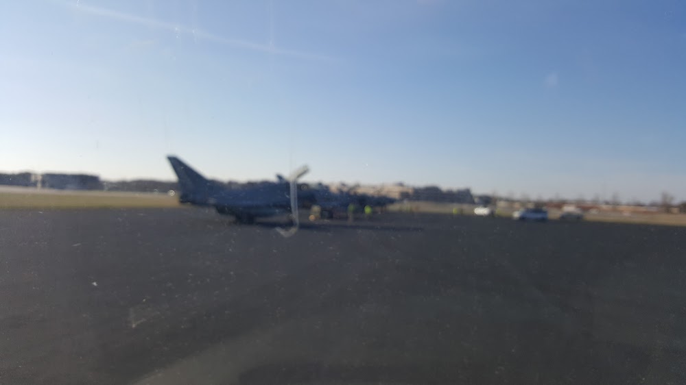
- Transient parking location
- Airport map annotations
Location:
Norfolk, VA
Elevation:
14ft
Sectional:
Washington
Activation date:
Apr 1943
Fuel:
None
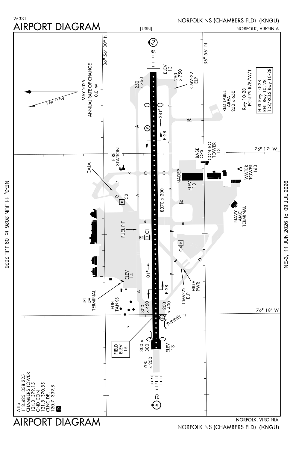
Runway 10/28:
8,370ft
Access: Private to everyone
This is a military facility.
Current Weather — VFR
-
Weather data is strictly informational and not for flight planning purposes.
-
METAR2026-07-16 01:59:00 EDT
Ceiling: 30,000ft Wind: 220° @ 5kt Temperature: 75°F Dewpoint: 68°F Weather: N/A Visbility: 10SM Clouds: Overcast @ 30,000ft Raw:METAR KNGU 160559Z 22005KT 10SM OVC300 24/20 A2999 RMK AO2 SLP154 T02440200 10283 20244 50003 $ -
TAF2026-07-15 19:00:00 EDT – 2026-07-16 01:00:00 EDT
Ceiling: 20,000ft Wind: Variable Weather: N/A Visbility: SM Clouds: Overcast @ 20,000ft Raw:TAF KNGU 152200Z 1523/1623 24007KT 9999 BKN300 QNH2993INS TEMPO 1523/1605 VRB04KT OVC200 FM161500 VRB06KT SCT150 BKN250 QNH2989INS TX36/1621Z TN24/1610Z FN00062 -
TAF2026-07-15 19:00:00 EDT – 2026-07-16 11:00:00 EDT
Ceiling: 30,000ft Wind: 240° @ 7kt Weather: N/A Visbility: 6SM Clouds: Broken @ 30,000ft Raw:TAF KNGU 152200Z 1523/1623 24007KT 9999 BKN300 QNH2993INS TEMPO 1523/1605 VRB04KT OVC200 FM161500 VRB06KT SCT150 BKN250 QNH2989INS TX36/1621Z TN24/1610Z FN00062 -
TAF2026-07-16 11:00:00 EDT – 2026-07-16 19:00:00 EDT
Ceiling: 25,000ft Wind: Variable Weather: N/A Visbility: SM Clouds: Scattered @ 15,000ft, Broken @ 25,000ft Raw:TAF KNGU 152200Z 1523/1623 24007KT 9999 BKN300 QNH2993INS TEMPO 1523/1605 VRB04KT OVC200 FM161500 VRB06KT SCT150 BKN250 QNH2989INS TX36/1621Z TN24/1610Z FN00062
Click/tap to add an annotation marker to the map
No webcams added yet.
Remarks
- Aoe.
- A-gear: avoid cntrln lgt rwy 10/28 dur cable engagement to prevent tailhook skip. dist rwy 28 measured fr displ thr. e-28(b) in raised posn at dep end of rwy nmlly. shortfld gear avbl with 20 min pn.
- Jasu:(nc-10c) (nc-8a/a1) (ncpp-105 ctc air ops duty officer to ensure avbl).
- Fuel: no tran copter hot pit wo prior coord with host squadron. j5.
- Fluid: adi sp presair lhox lox.
Comments