Pirep is a free, collaborative database of all public and private airports. All pilots are welcome to contribute their local knowledge to any airport, no registration required.

No upcoming events. Is anything happening here soon?
Last updated: 2024-03-01 00:36:45 EST
Airport Statistics
- Airport map annotations
- Crew car availability
- Webcam links
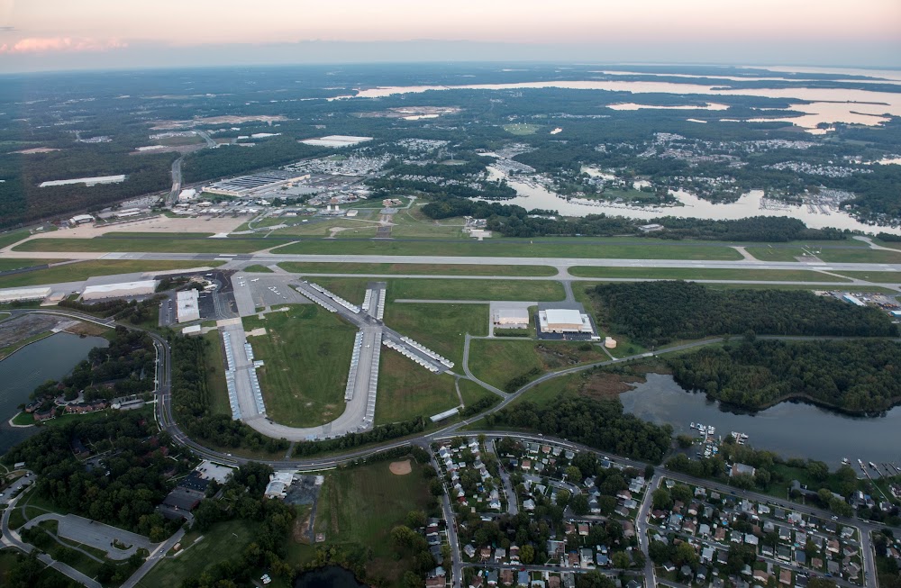
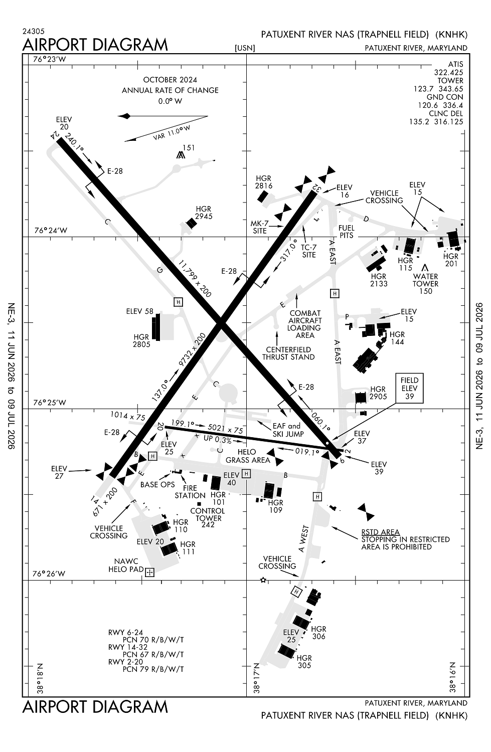
Location:
Patuxent River, MD
Elevation:
38ft
Sectional:
Washington
Activation date:
Feb 1944
Fuel:
None
Runway 06/24:
11,799ft
Runway 14/32:
9,732ft
Runway 02/20:
5,021ft
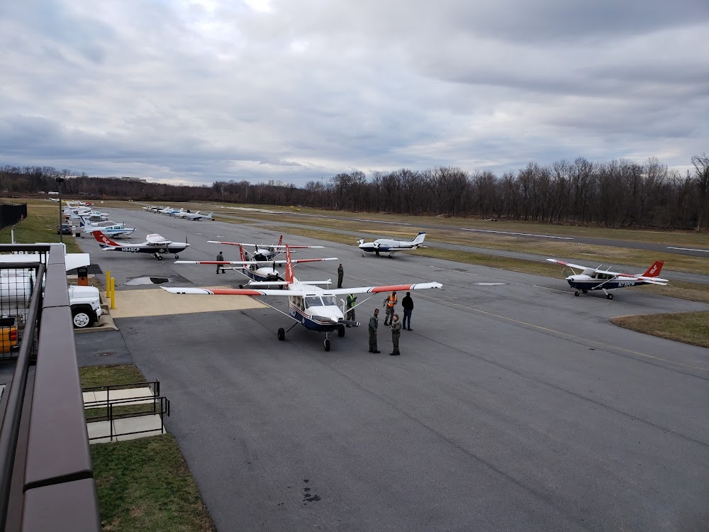
Access: Private to everyone
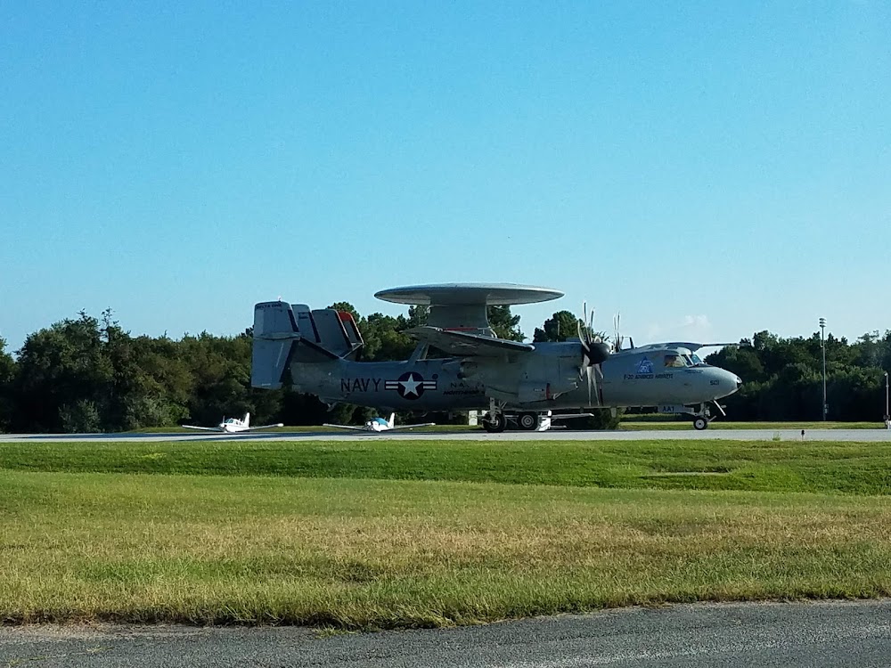
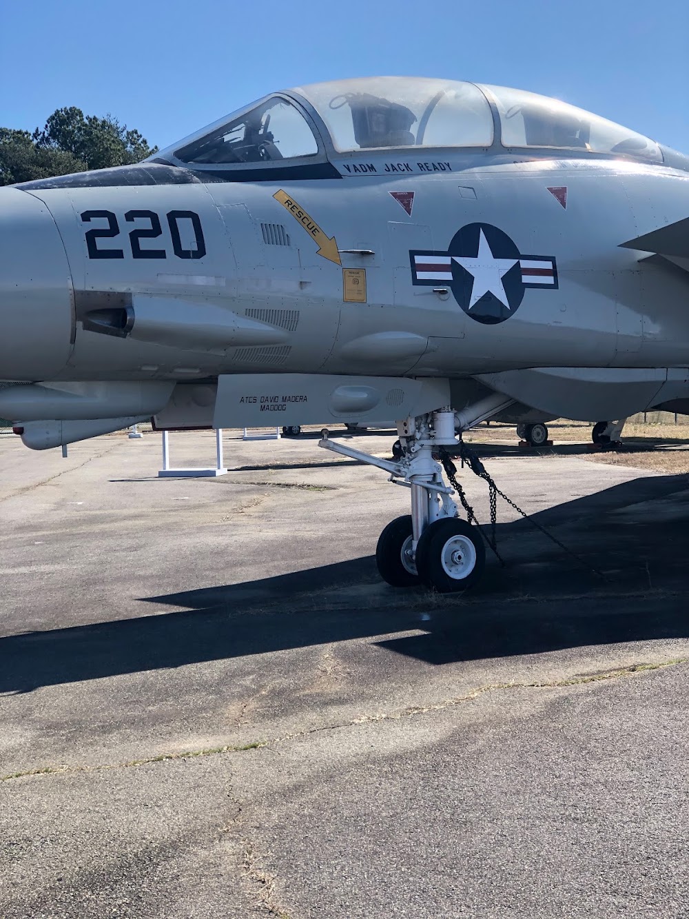
This is a military facility.
Similar Airports

Current Weather — VFR
-
Weather data is strictly informational and not for flight planning purposes.
-
METAR2026-07-29 02:52:00 EDT
Ceiling: 3,900ft Wind: 280° @ 3kt Temperature: 71°F Dewpoint: 71°F Weather: N/A Visbility: 10SM Clouds: Overcast @ 3,900ft Raw:METAR KNHK 290652Z AUTO 28003KT 10SM OVC039 22/22 A2961 RMK AO2 SLP028 T02220217 CHINO RY24 VISNO RY24 $ -
TAF2026-07-28 19:00:00 EDT – 2026-07-28 22:00:00 EDT
Ceiling: 3,000ft Wind: Variable, gusts 50kt Weather: Thunderstorm rain, mist Visbility: 0SM Clouds: Overcast @ 3,000ft Raw:TAF KNHK 282300Z 2823/2923 19009KT 9999 VCTS SCT045CB BKN090 OVC200 QNH2951INS TEMPO 2823/2902 VRB25G50KT 1600 TSRA BR OVC030CB BECMG 2902/2903 29009KT 9999 NSW BKN050 BKN100 QNH2953INS FM290800 31013KT 9999 FEW020 SCT080 QNH2950INS AUTOMATED SENSOR METWATCH 2903 TIL 2908 TX30/2920Z TN21/2910Z FS30237 -
TAF2026-07-28 19:00:00 EDT – 2026-07-28 22:00:00 EDT
Ceiling: 9,000ft Wind: 190° @ 9kt Weather: Thunderstorm in vicinity Visbility: 6SM Clouds: Scattered @ 4,500ft, Broken @ 9,000ft, Overcast @ 20,000ft Raw:TAF KNHK 282300Z 2823/2923 19009KT 9999 VCTS SCT045CB BKN090 OVC200 QNH2951INS TEMPO 2823/2902 VRB25G50KT 1600 TSRA BR OVC030CB BECMG 2902/2903 29009KT 9999 NSW BKN050 BKN100 QNH2953INS FM290800 31013KT 9999 FEW020 SCT080 QNH2950INS AUTOMATED SENSOR METWATCH 2903 TIL 2908 TX30/2920Z TN21/2910Z FS30237 -
TAF2026-07-28 22:00:00 EDT – 2026-07-29 04:00:00 EDT
Ceiling: 5,000ft Wind: 290° @ 9kt Weather: N/A Visbility: 6SM Clouds: Broken @ 5,000ft, Broken @ 10,000ft Raw:TAF KNHK 282300Z 2823/2923 19009KT 9999 VCTS SCT045CB BKN090 OVC200 QNH2951INS TEMPO 2823/2902 VRB25G50KT 1600 TSRA BR OVC030CB BECMG 2902/2903 29009KT 9999 NSW BKN050 BKN100 QNH2953INS FM290800 31013KT 9999 FEW020 SCT080 QNH2950INS AUTOMATED SENSOR METWATCH 2903 TIL 2908 TX30/2920Z TN21/2910Z FS30237 -
TAF2026-07-29 04:00:00 EDT – 2026-07-29 19:00:00 EDT
Ceiling: Sky clear Wind: 310° @ 13kt Weather: N/A Visbility: 6SM Clouds: Few @ 2,000ft, Scattered @ 8,000ft Raw:TAF KNHK 282300Z 2823/2923 19009KT 9999 VCTS SCT045CB BKN090 OVC200 QNH2951INS TEMPO 2823/2902 VRB25G50KT 1600 TSRA BR OVC030CB BECMG 2902/2903 29009KT 9999 NSW BKN050 BKN100 QNH2953INS FM290800 31013KT 9999 FEW020 SCT080 QNH2950INS AUTOMATED SENSOR METWATCH 2903 TIL 2908 TX30/2920Z TN21/2910Z FS30237
Click/tap to add an annotation marker to the map
No webcams added yet.
Remarks
- Jasu: (gtc-85) (ncpp-105) (nc-8) (nc-10).
- Fuel: 100ll, a, j5.
- Fluid: sp lhox lox.
- Oil: o-128-133-148-156 (mil).
- Tran alert: avbl 1200-23000z++ mon-fri exc hol.
Comments