Pirep is a free, collaborative database of all public and private airports. All pilots are welcome to contribute their local knowledge to any airport, no registration required.

Undocumented
METAR / TAF
Edit Tags
No upcoming events. Is anything happening here soon?
Airport Statistics
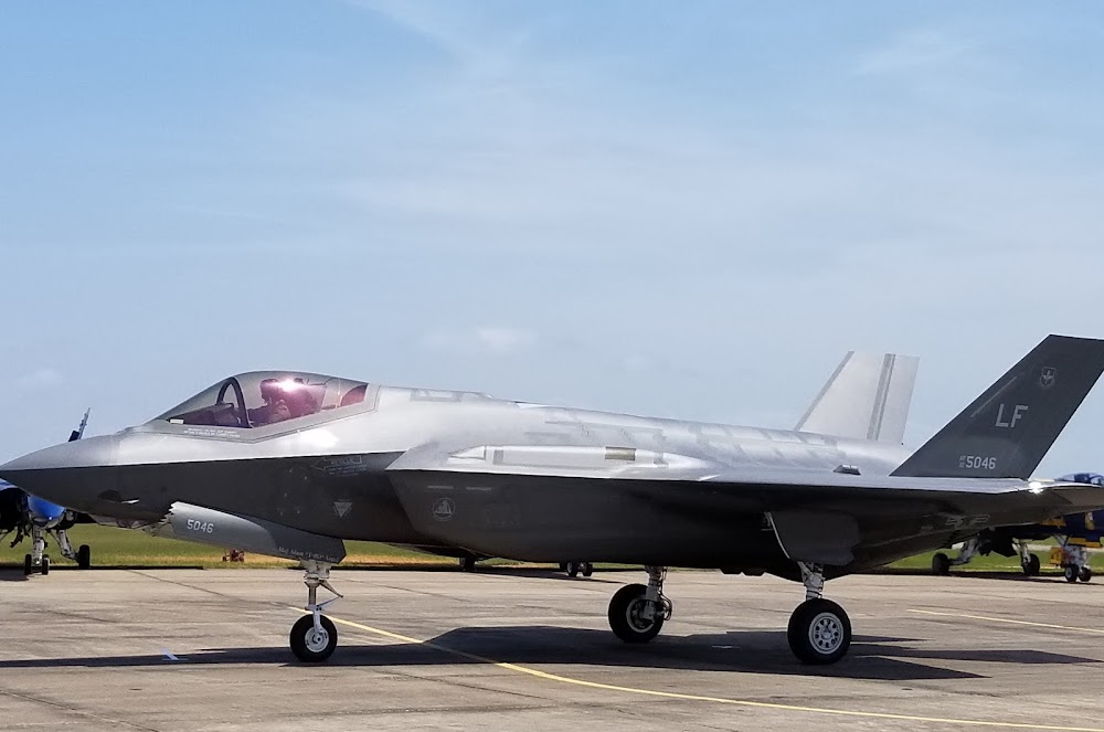
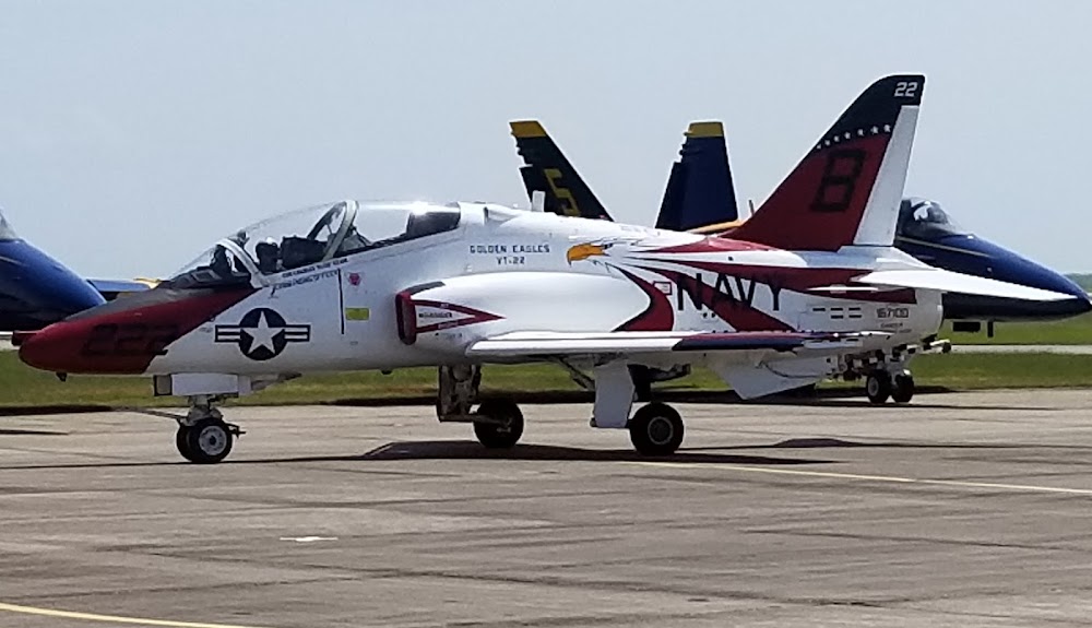
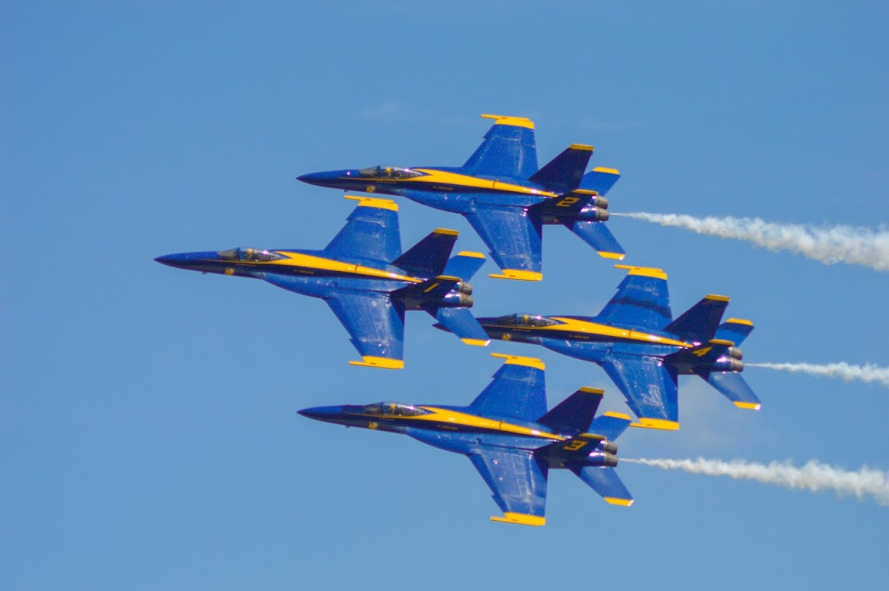
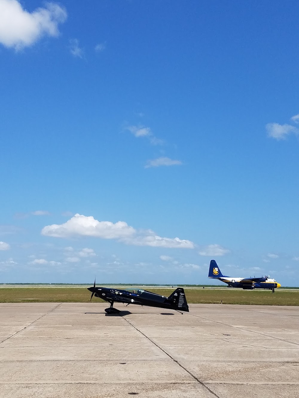
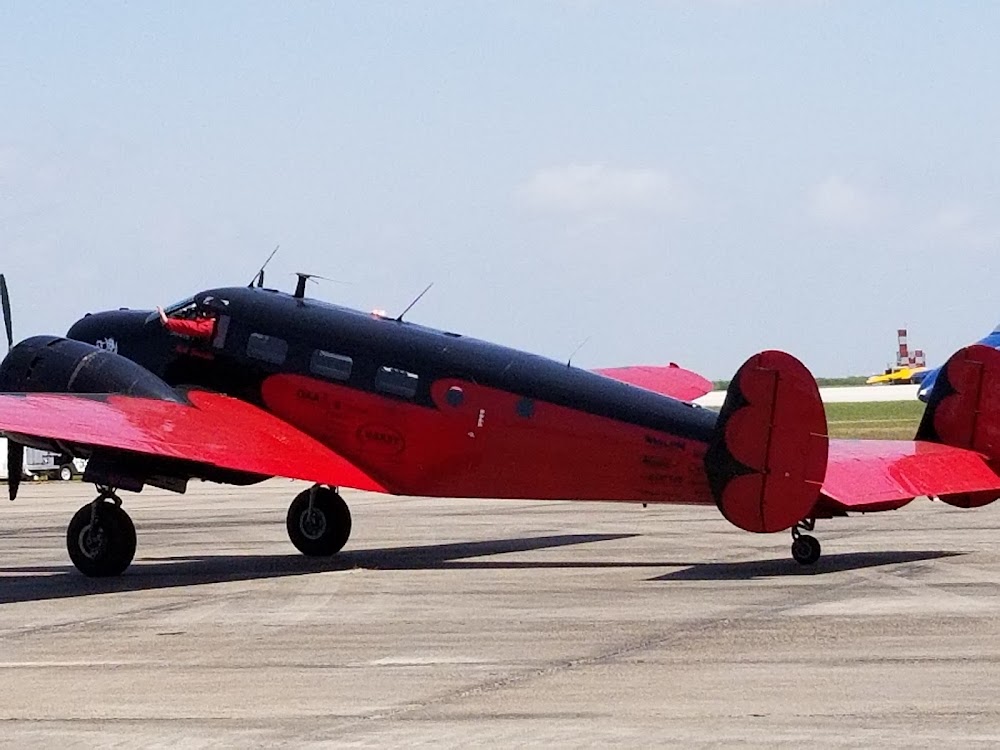
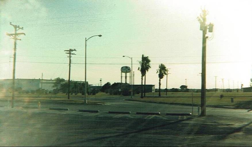
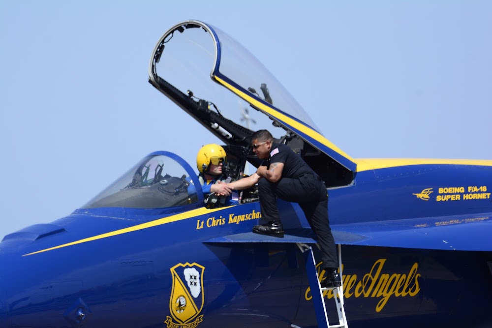
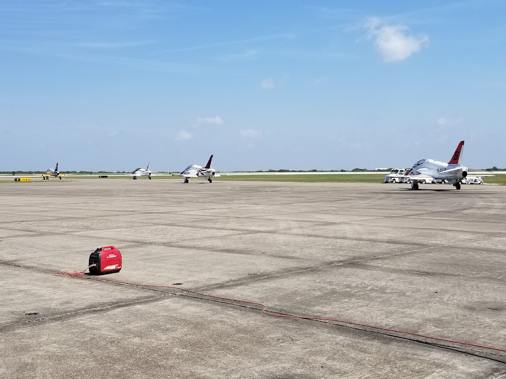
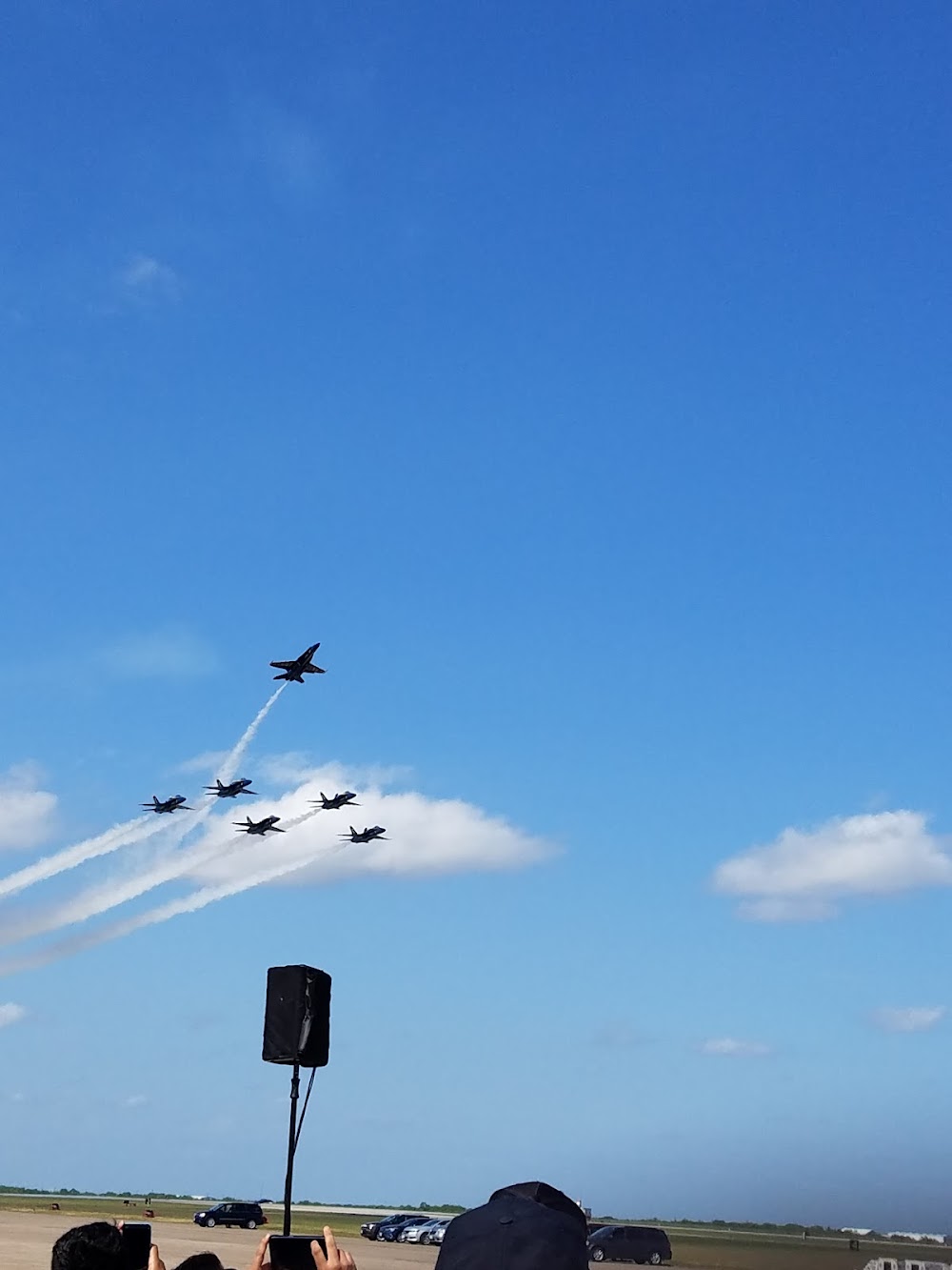
- Airport photos
- Landing & tie-down fees
- Airport map annotations
Location:
Kingsville, TX
Elevation:
49ft
Sectional:
Brownsville
Activation date:
Jul 1943
Fuel:
None
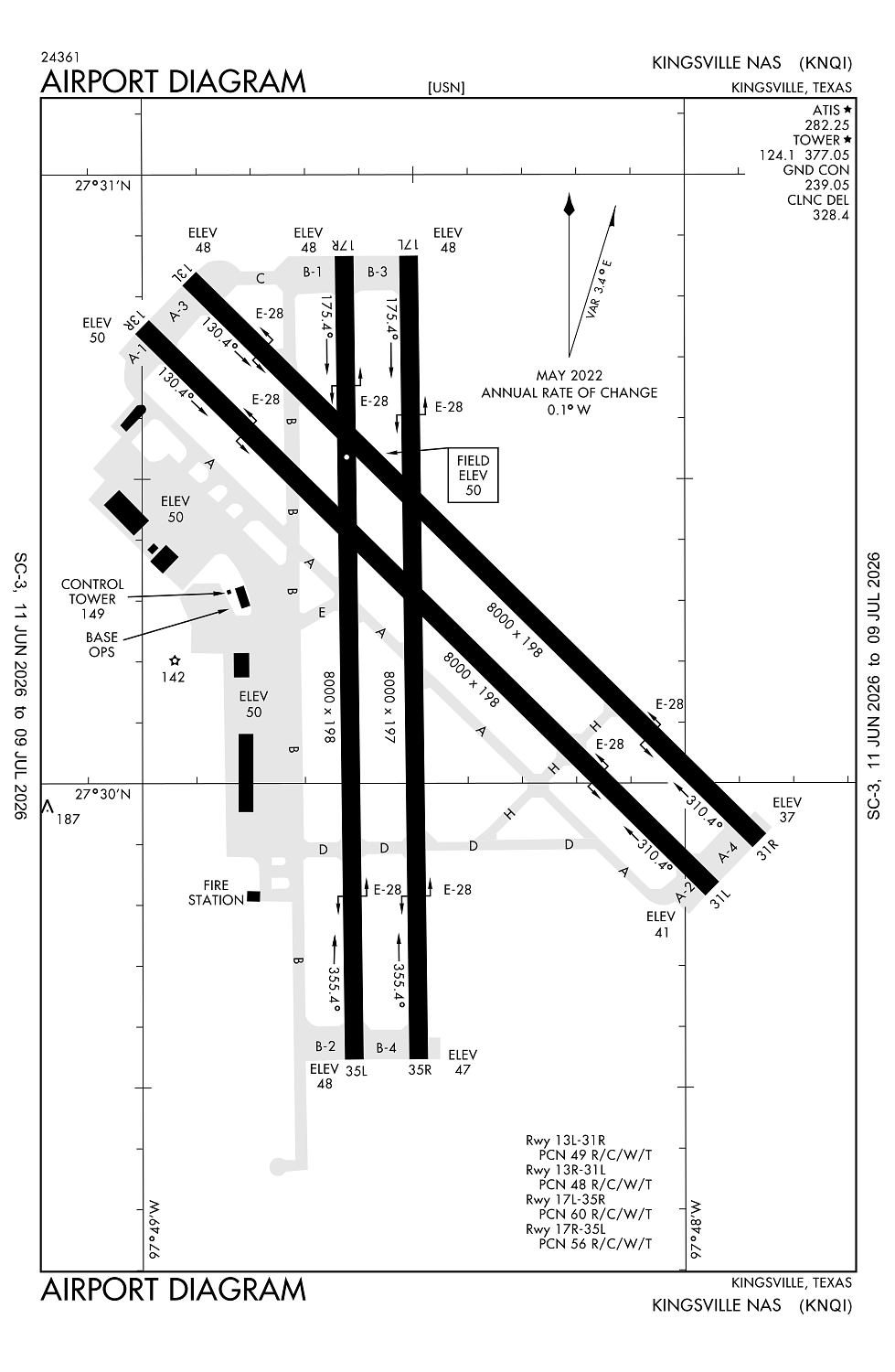
Runway 13L/31R:
8,000ft
Runway 13R/31L:
8,000ft
Runway 17R/35L:
8,000ft
Runway 17L/35R:
8,000ft
Access: Private to everyone
This is a military facility.
Current Weather — VFR
-
Weather data is strictly informational and not for flight planning purposes.
-
METAR2026-07-20 09:56:00 CDT
Ceiling: Sky clear Wind: 180° @ 13kt Temperature: 87°F Dewpoint: 75°F Weather: N/A Visbility: 10SM Clouds: Few @ 2,000ft, Scattered @ 25,000ft Raw:METAR KNQI 201456Z 18013KT 10SM FEW020 SCT250 31/24 A2996 RMK AO2 SLP142 T03060239 50003 $ -
TAF2026-07-20 10:00:00 CDT – 2026-07-20 13:00:00 CDT
Ceiling: 2,500ft Wind: 150° @ 16kt, gusts 24kt Weather: Haze Visbility: 5SM Clouds: Broken @ 2,500ft, Broken @ 25,000ft Raw:TAF KNQI 2015/2115 17010KT 9999 SCT035 SCT250 QNH2986INS TEMPO 2015/2018 15016G24KT 9000 HZ BKN025 BKN250 FM201900 13018G30KT 9000 HZ FEW045 BKN250 QNH2984INS FM210200 15011KT 9999 FEW025 BKN250 QNH2985INS FM210600 16006KT 9999 FEW015 BKN250 QNH2985INS TX37/2020Z TN24/2112Z FN20061 -
TAF2026-07-20 10:00:00 CDT – 2026-07-20 14:00:00 CDT
Ceiling: Sky clear Wind: 170° @ 10kt Weather: N/A Visbility: 6SM Clouds: Scattered @ 3,500ft, Scattered @ 25,000ft Raw:TAF KNQI 2015/2115 17010KT 9999 SCT035 SCT250 QNH2986INS TEMPO 2015/2018 15016G24KT 9000 HZ BKN025 BKN250 FM201900 13018G30KT 9000 HZ FEW045 BKN250 QNH2984INS FM210200 15011KT 9999 FEW025 BKN250 QNH2985INS FM210600 16006KT 9999 FEW015 BKN250 QNH2985INS TX37/2020Z TN24/2112Z FN20061 -
TAF2026-07-20 14:00:00 CDT – 2026-07-20 21:00:00 CDT
Ceiling: 25,000ft Wind: 130° @ 18kt, gusts 30kt Weather: Haze Visbility: 5SM Clouds: Few @ 4,500ft, Broken @ 25,000ft Raw:TAF KNQI 2015/2115 17010KT 9999 SCT035 SCT250 QNH2986INS TEMPO 2015/2018 15016G24KT 9000 HZ BKN025 BKN250 FM201900 13018G30KT 9000 HZ FEW045 BKN250 QNH2984INS FM210200 15011KT 9999 FEW025 BKN250 QNH2985INS FM210600 16006KT 9999 FEW015 BKN250 QNH2985INS TX37/2020Z TN24/2112Z FN20061 -
TAF2026-07-20 21:00:00 CDT – 2026-07-21 01:00:00 CDT
Ceiling: 25,000ft Wind: 150° @ 11kt Weather: N/A Visbility: 6SM Clouds: Few @ 2,500ft, Broken @ 25,000ft Raw:TAF KNQI 2015/2115 17010KT 9999 SCT035 SCT250 QNH2986INS TEMPO 2015/2018 15016G24KT 9000 HZ BKN025 BKN250 FM201900 13018G30KT 9000 HZ FEW045 BKN250 QNH2984INS FM210200 15011KT 9999 FEW025 BKN250 QNH2985INS FM210600 16006KT 9999 FEW015 BKN250 QNH2985INS TX37/2020Z TN24/2112Z FN20061 -
TAF2026-07-21 01:00:00 CDT – 2026-07-21 10:00:00 CDT
Ceiling: 25,000ft Wind: 160° @ 6kt Weather: N/A Visbility: 6SM Clouds: Few @ 1,500ft, Broken @ 25,000ft Raw:TAF KNQI 2015/2115 17010KT 9999 SCT035 SCT250 QNH2986INS TEMPO 2015/2018 15016G24KT 9000 HZ BKN025 BKN250 FM201900 13018G30KT 9000 HZ FEW045 BKN250 QNH2984INS FM210200 15011KT 9999 FEW025 BKN250 QNH2985INS FM210600 16006KT 9999 FEW015 BKN250 QNH2985INS TX37/2020Z TN24/2112Z FN20061
Click/tap to add an annotation marker to the map
No webcams added yet.
Remarks
- Caution: hvy jet inst trng dur fld opr hr.
- Caution: avoid ovft of chemical plant 5 nm n.
- Cat c afld.
- Tfc pat: arr tsnt acft exp enr descent.
- Tfc pat: use ldg/taxi lgt for final portion of inst apch durg vfr.
Comments