Pirep is a free, collaborative database of all public and private airports. All pilots are welcome to contribute their local knowledge to any airport, no registration required.
Private
Undocumented
Edit Tags
No upcoming events. Is anything happening here soon?
Airport Statistics
- WiFi availability
- Local flying clubs
- Crew car availability
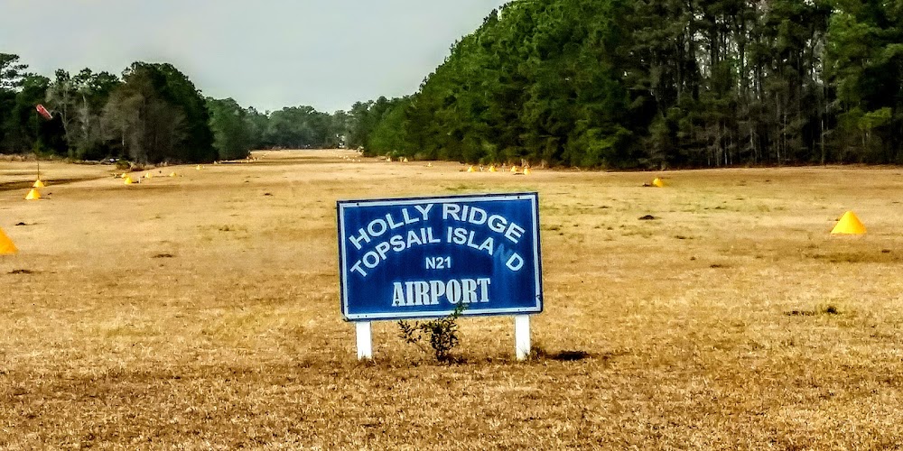
Location:
Holly Ridge, NC
Elevation:
49ft
Sectional:
Charlotte
Activation date:
Apr 1980
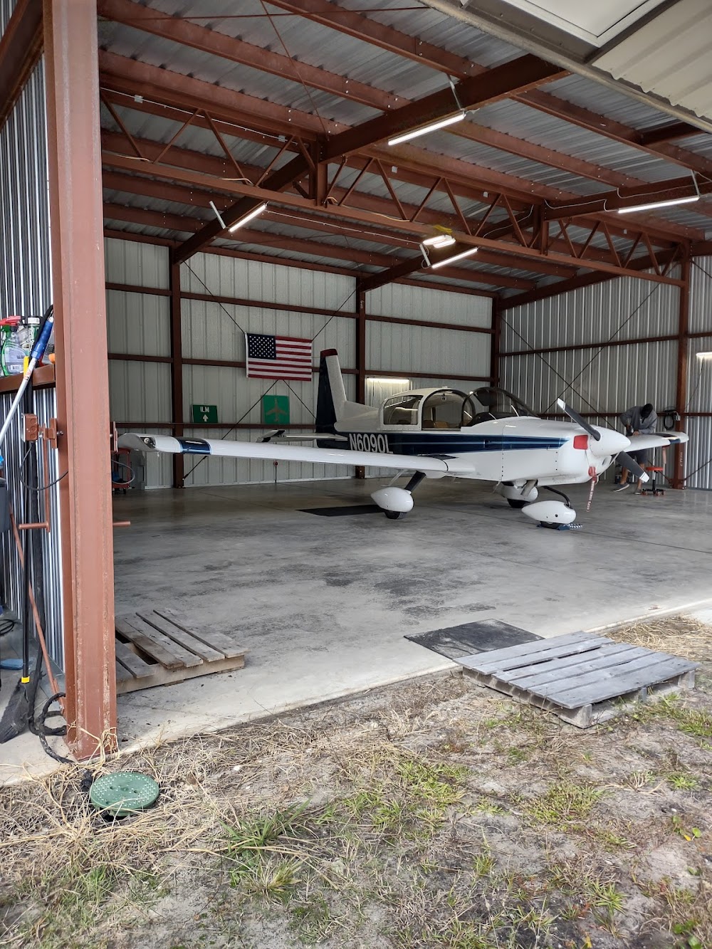
Fuel:
None
Runway 14/32:
3,591ft
Access: Private to everyone
Is this airport privately owned but open to the public with or without restrictions? Or perhaps the owner is simply happy for pilots to stop by with prior permission?
Click/tap to add an annotation marker to the map
No webcams added yet.
Remarks
- Prvdd vfr.
- Deer on & invof arpt.
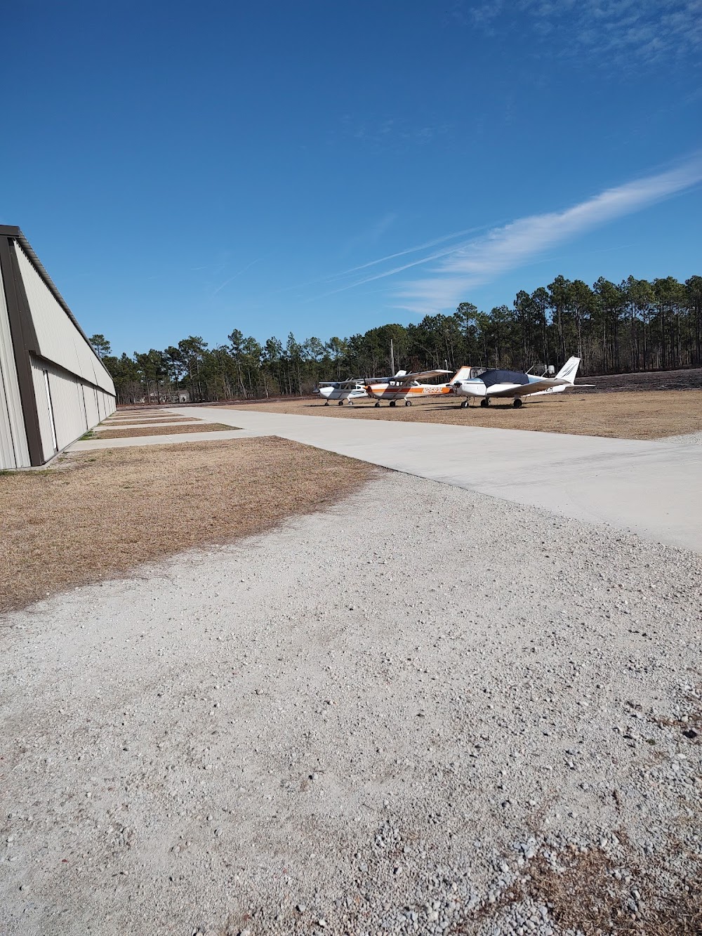
- Dsplcd thr indicated by yellow cones.
- For cd ctc washington artcc at 703-771-3587.
- No airfield lgt; no ngt ops.
- Rwy 14 apch ratio 15:1 to dsplcd thr due to 60 ft unmkd pline.
- Rwy 32 apch slope 17:1 to dsplcd thr due to 38 ft mkd pline; rwy 32 has a road 135 ft fm end of rwy.
- If transitioning inside holly ridge transitional zone below 1500 ft agl, squawk 1200, courtesy call to blackburn for traffic at camp davis airfield, see and avoid other aircraft. call sign blackburn, freq 119.5, phone 910-451-3064 / 4499.
Comments