Pirep is a free, collaborative database of all public and private airports. All pilots are welcome to contribute their local knowledge to any airport, no registration required.
Undocumented
METAR / TAF
Edit Tags
No upcoming events. Is anything happening here soon?
Airport Statistics
- General description
- Tags
- Local flying clubs
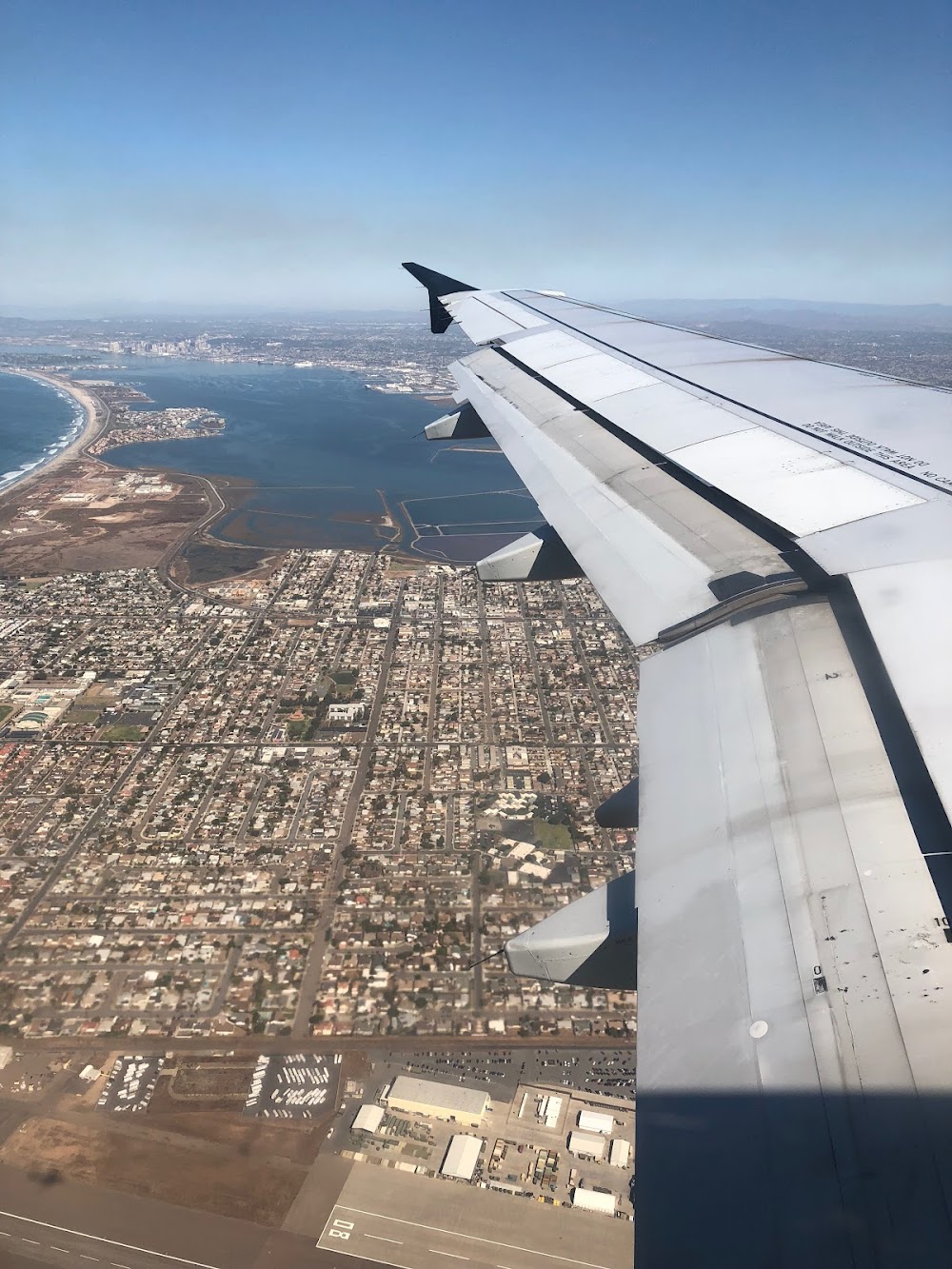
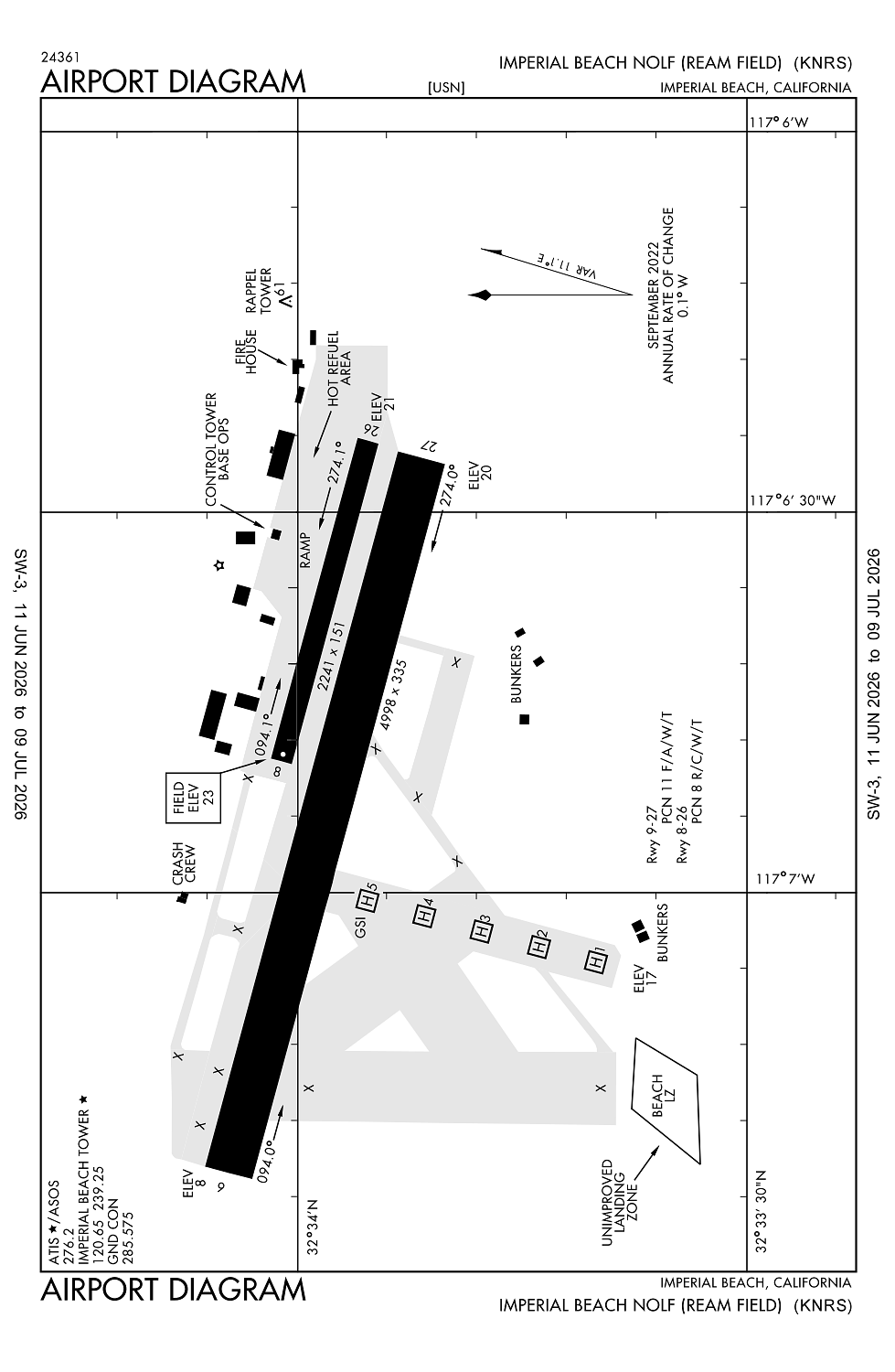
Location:
Imperial Beach, CA
Elevation:
23ft
Sectional:
Los Angeles
Activation date:
Feb 1944
Fuel:
None
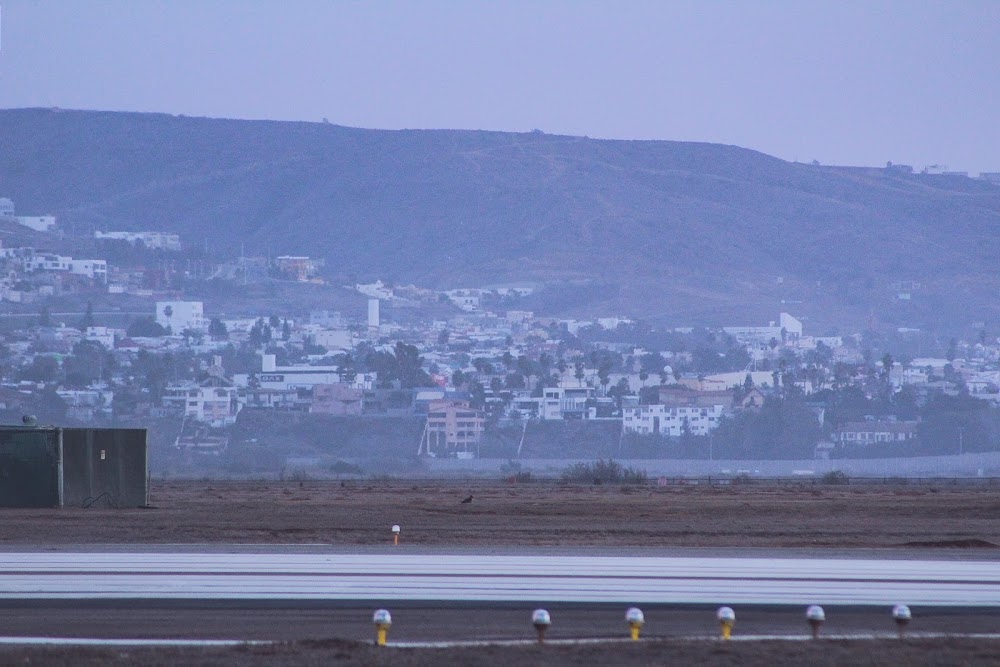
Runway 09/27:
4,998ft
Runway 08/26:
2,241ft
Access: Private to everyone
This is a military facility.
Current Weather — VFR
-
Weather data is strictly informational and not for flight planning purposes.
-
METAR2026-07-20 05:53:00 PDT
Ceiling: Sky clear Wind: 210° @ 4kt Temperature: 64°F Dewpoint: 62°F Weather: N/A Visbility: 10SM Raw:METAR KNRS 201253Z AUTO 21004KT 10SM CLR 18/17 A2993 RMK AO2 SLP133 T01780167 PWINO $
Click/tap to add an annotation marker to the map
No webcams added yet.
Remarks
- Rstd - offl bus only - ppr f/w and non-tenant acft, ctc nasni odo dsn 735-8233/8234, c619-545-8233/8234. north island tenant acft and coast guard have priority for lcl pat opr.
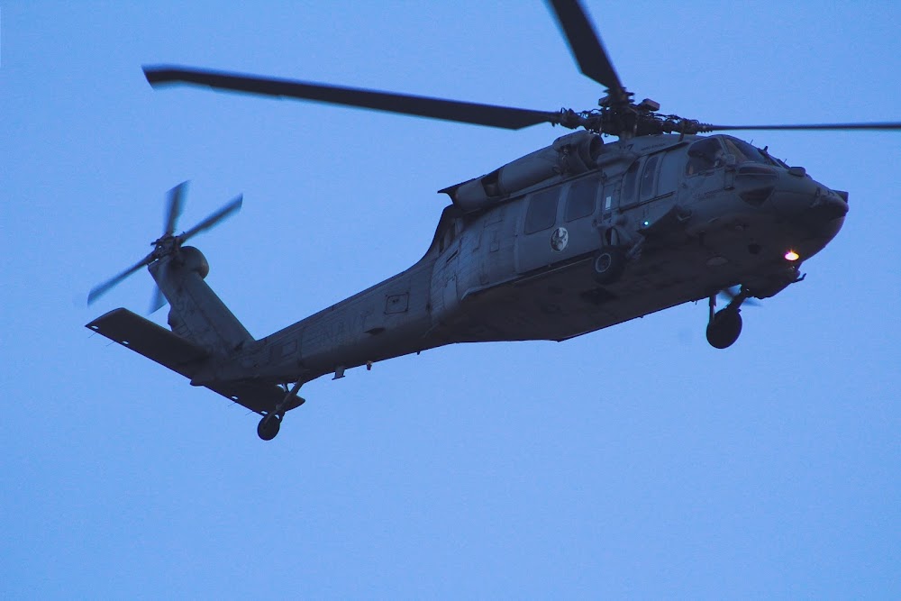
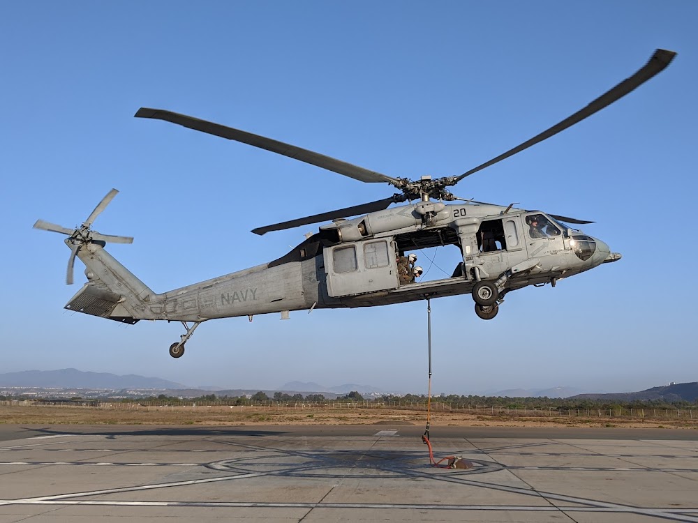
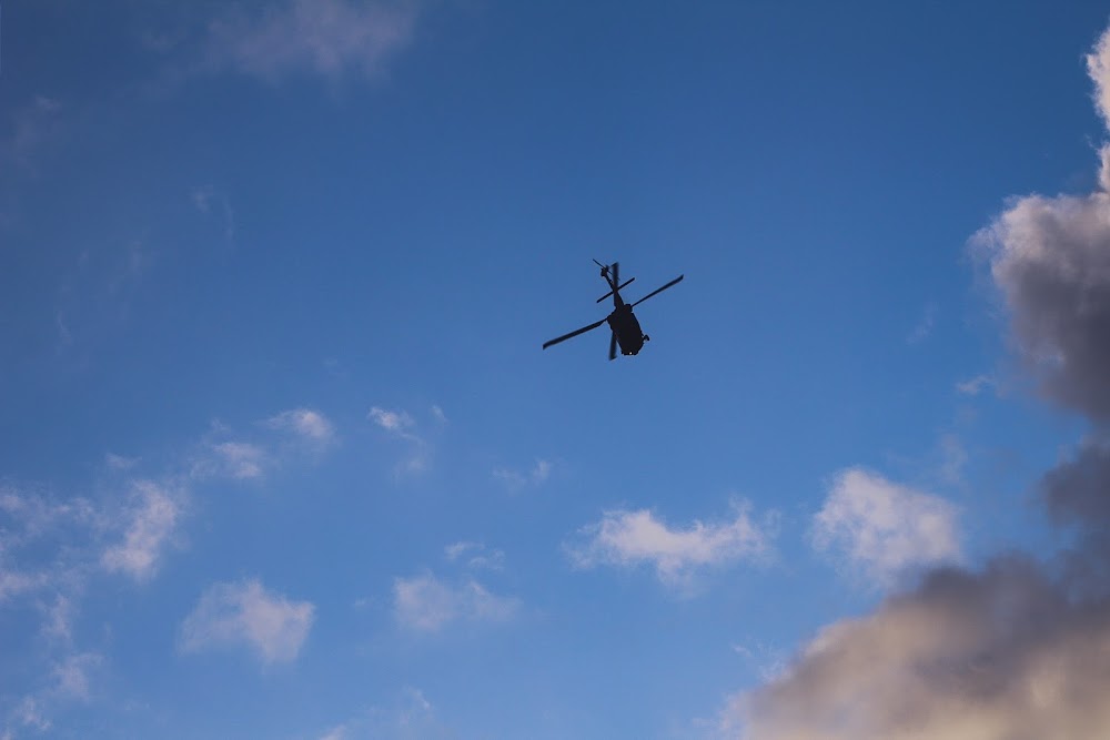
- Caution: extv copter trng.
- Misc: rwy 08-26 avbl for day and ngt copter use only (ngt and svfr use at pilots own risk).
- Fuel: j5 (available 1100-2100 mon-thu; 1000-1800 fri).
- For cd when atct clsd ctc socal apch at 800-448-3724.
Comments