Pirep is a free, collaborative database of all public and private airports. All pilots are welcome to contribute their local knowledge to any airport, no registration required.


Public
Undocumented
Edit Tags
No upcoming events. Is anything happening here soon?
Airport Statistics
- Webcam links
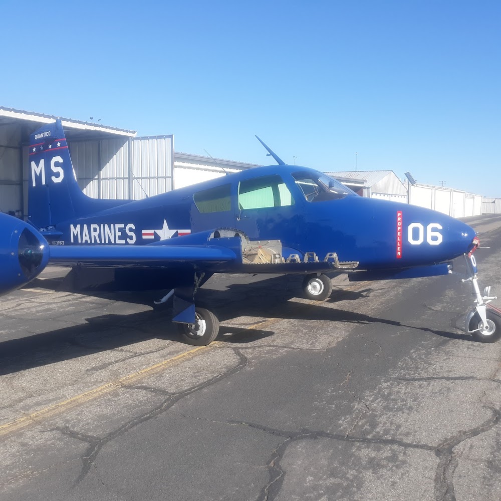
- Airport photos
- WiFi availability
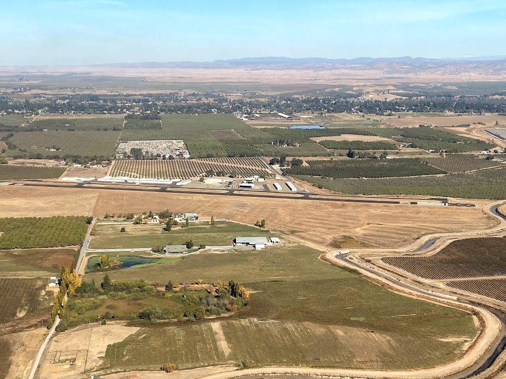
Location:
Oakdale, CA
Elevation:
236ft
Sectional:
San Francisco
Activation date:
May 1947
Fuel:
100LL (prices)
Runway 10/28:
3,013ft
Access: Open to the public
Click/tap to add an annotation marker to the map
No webcams added yet.
Remarks
- Predates the faa act.
- Apron on south side of ry damaged & unusable.
- For cd ctc norcal apch at 916-361-0516.
- Rwy 28 apch rwy safety area bisected by an irrigation canal 230 ft from the rwy end.
- Actvt mirl rwy 10/28 - ctaf. reil rwy 10 & 28; vasi rwy 10; papi rwy 28 opr consly.
- Nights on call 1-800-868-8750.
- Public works maint ctc: ian sather 209-845-3640; cell 209-840-1934.
Comments