Pirep is a free, collaborative database of all public and private airports. All pilots are welcome to contribute their local knowledge to any airport, no registration required.
Public
Undocumented
Edit Tags
No upcoming events. Is anything happening here soon?
Airport Statistics
- Transient parking location
- Tags
- General description
Location:
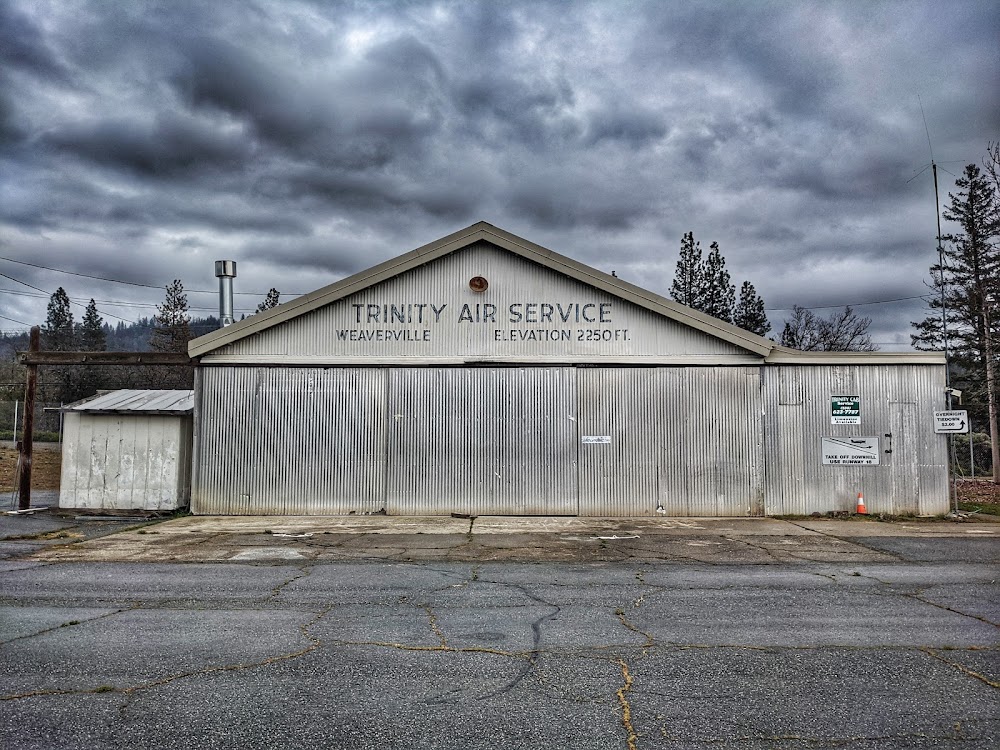
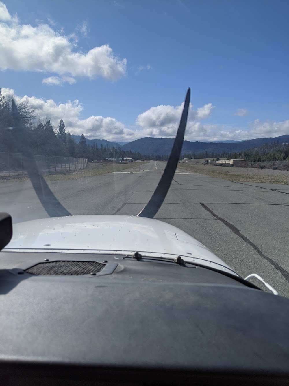
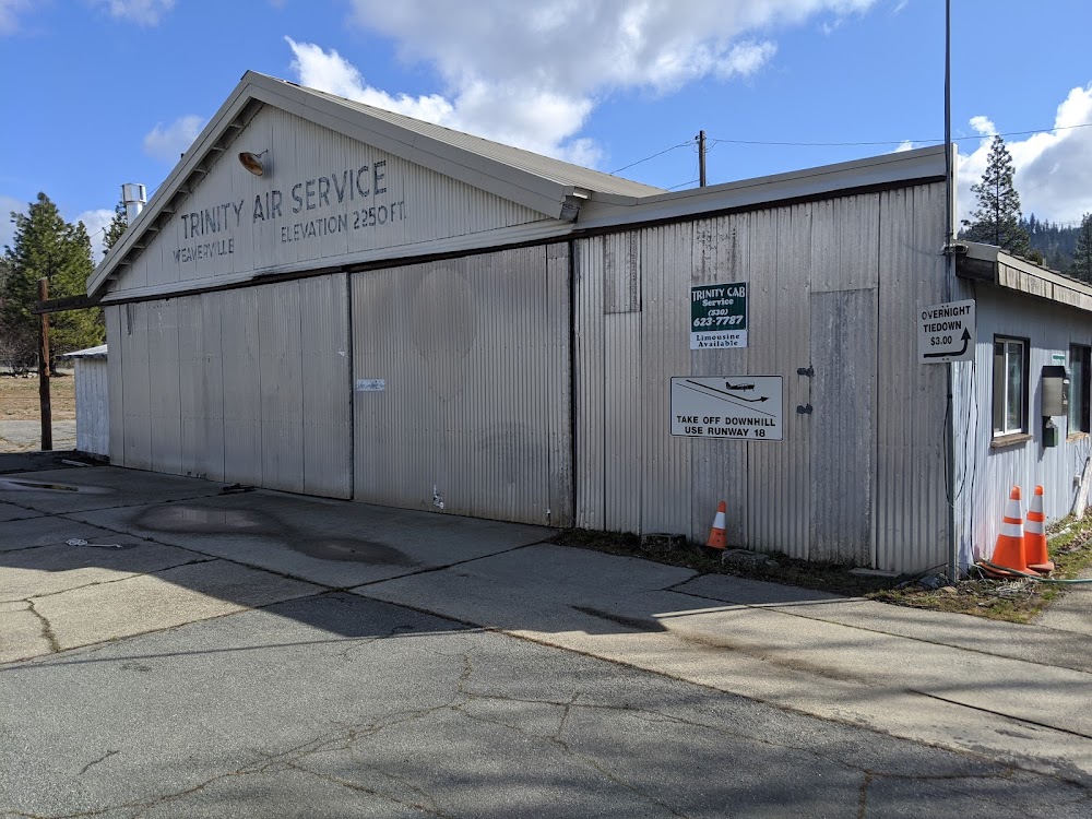
Weaverville, CA
Elevation:
2,350ft
Sectional:
Klamath Falls
Activation date:
Jan 1955
Fuel:
None
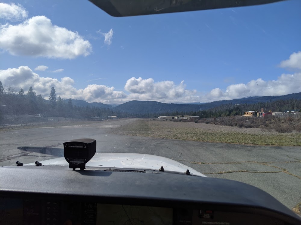
Runway 18/36:
3,181ft
Access: Open to the public
Click/tap to add an annotation marker to the map
No webcams added yet.
Remarks
- Estabd prior to 15 may 1959.
- Road 50 ft e of cntrln at ry 18 thr & 60 ft trees in primary sfc 80 ft e of ry cntrln.
- Arpt clsd nights.
- Land rwy 36 only. tkof rwy 18 only. touch & go's prohibited. recommend no go-arounds below 2,600 ft msl. tkof prohibited on rwy 36 due to rwy elev increase of appx 100 ft on north end of rwy. tall trees and rising terrain north of arpt. significant variations in wind direction and intst can occur at the apch to rwy 36.
- Arpt intermittently closed winters due to snow. call county transportation office for info 530-623-1365.
- Director of transportation
- +15 ft road 0 ft from ry end 60 ft left.
- Rwy 36 apch ratio 30:1 fm dsplcd thld; apch ratio 20:1 over 45 ft tree 935 ft fm dsplcd thld 230 ft right.
Comments