Pirep is a free, collaborative database of all public and private airports. All pilots are welcome to contribute their local knowledge to any airport, no registration required.
Public
Undocumented
Edit Tags
No upcoming events. Is anything happening here soon?
Airport Statistics
- WiFi availability
- Tags
- Fuel pump location
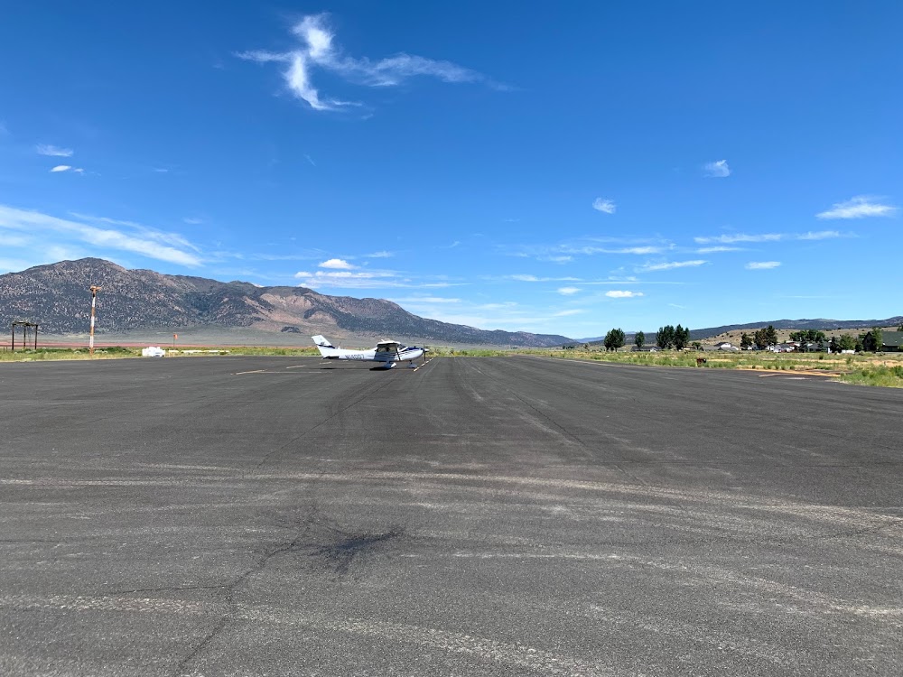
Location:
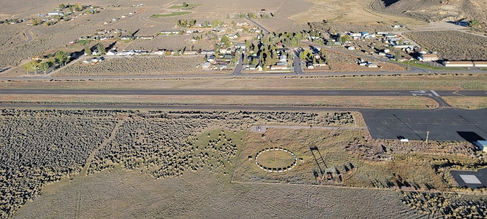
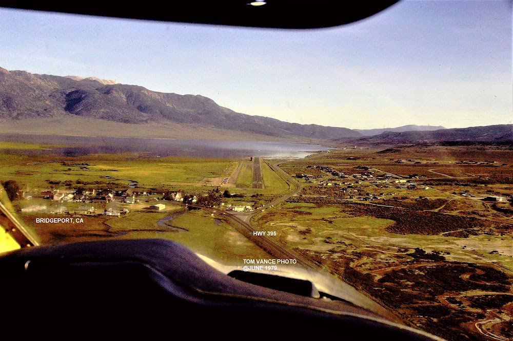
Bridgeport, CA
Elevation:
6,471ft
Sectional:
San Francisco
Activation date:
Jul 1944
Fuel:
None
Runway 16/34:
3,854ft
Access: Open to the public
Click/tap to add an annotation marker to the map
No webcams added yet.
Remarks
- Estabd prior to 15 may 1959.
- Rotg bcn located 1/4 mile e of the arpt on top of hill.
- Birds tend to congregate on n end of ry.
- Arpt lctd in mountainous terrain. hillside lctd 1644 ft east of apch end of rwy 34 and 1815 ft east of apch end rwy 16.
- Vehicles on hwy parallel to rwy 180 ft east of apch end rwy 16 to midfield.
- Svrl unlit 40-80 ft trees are at 225-500 ft e of the rwy cntrln along the s two thirds of the rwy.
- For cd ctc oakland artcc at 510-745-3380.
- Actvt mirl rwy 16/34 - 122.8.
Comments