Pirep is a free, collaborative database of all public and private airports. All pilots are welcome to contribute their local knowledge to any airport, no registration required.

Public
Undocumented
METAR / TAF
Edit Tags
No upcoming events. Is anything happening here soon?
Airport Statistics
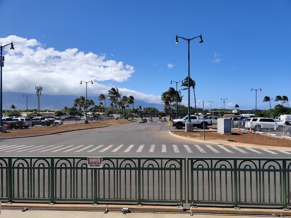
- Webcam links
- WiFi availability
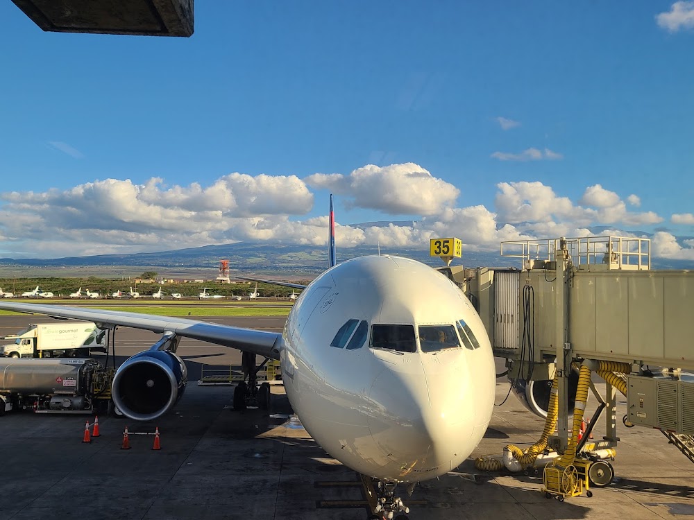
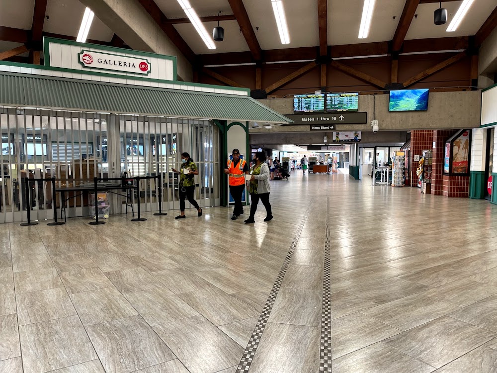
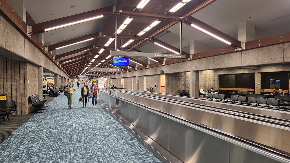
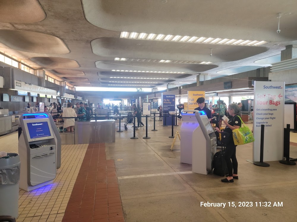
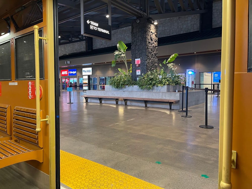
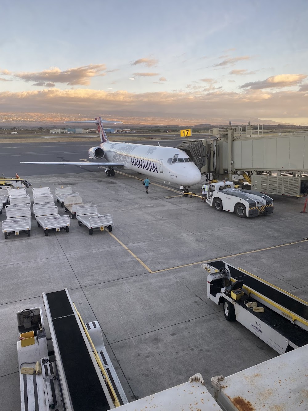
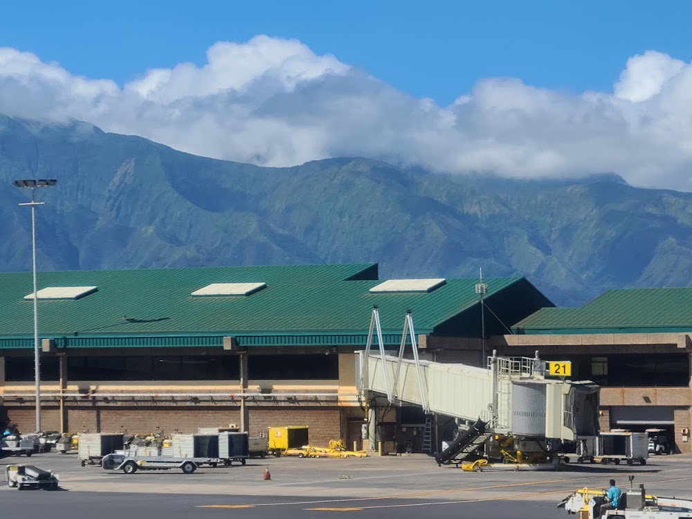
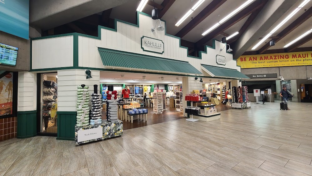
- Airport photos
Location:
Kahului, HI
Elevation:
55ft
Sectional:
Hawaiian Islands
Activation date:
Oct 1946
Fuel:
100, A (prices)
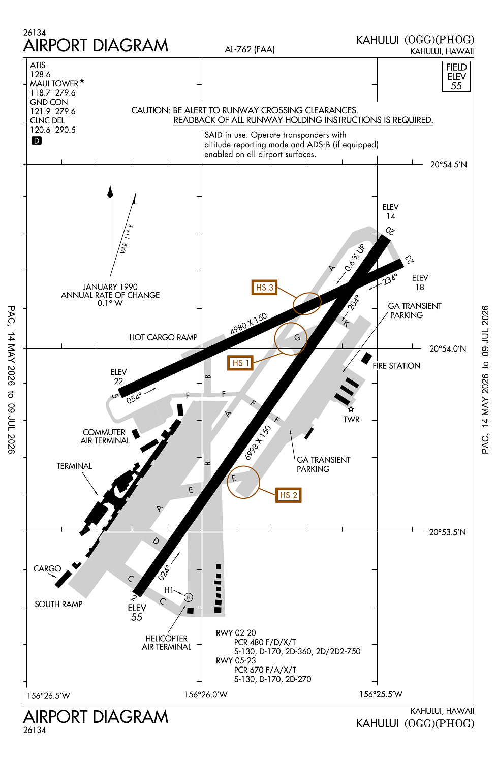
Runway 02/20:
6,998ft
Runway 05/23:
4,980ft
Runway H1:
125ft
Access: Open to the public
Current Weather — VFR
-
Weather data is strictly informational and not for flight planning purposes.
-
METAR2026-07-20 17:54:00 HST
Ceiling: Sky clear Wind: 040° @ 15kt, gusts 27kt Temperature: 78°F Dewpoint: 68°F Weather: N/A Visbility: 10SM Clouds: Few @ 2,000ft, Scattered @ 6,000ft Raw:METAR PHOG 210354Z 04015G27KT 10SM FEW020 SCT060 26/20 A2987 RMK AO2 PK WND 06027/0346 SLP120 T02610200 $ -
TAF2026-07-20 17:00:00 HST – 2026-07-20 20:00:00 HST
Ceiling: Sky clear Wind: 040° @ 16kt, gusts 24kt Weather: Showers in vicinity Visbility: 6SM Clouds: Scattered @ 3,000ft, Scattered @ 6,000ft Raw:TAF PHOG 210300Z 2103/2206 04016G24KT P6SM VCSH SCT030 SCT060 FM210600 04011KT P6SM VCSH SCT030 BKN060 FM212000 06015G24KT P6SM VCSH SCT030 SCT060 -
TAF2026-07-20 20:00:00 HST – 2026-07-21 10:00:00 HST
Ceiling: 6,000ft Wind: 040° @ 11kt Weather: Showers in vicinity Visbility: 6SM Clouds: Scattered @ 3,000ft, Broken @ 6,000ft Raw:TAF PHOG 210300Z 2103/2206 04016G24KT P6SM VCSH SCT030 SCT060 FM210600 04011KT P6SM VCSH SCT030 BKN060 FM212000 06015G24KT P6SM VCSH SCT030 SCT060 -
TAF2026-07-21 10:00:00 HST – 2026-07-21 20:00:00 HST
Ceiling: Sky clear Wind: 060° @ 15kt, gusts 24kt Weather: Showers in vicinity Visbility: 6SM Clouds: Scattered @ 3,000ft, Scattered @ 6,000ft Raw:TAF PHOG 210300Z 2103/2206 04016G24KT P6SM VCSH SCT030 SCT060 FM210600 04011KT P6SM VCSH SCT030 BKN060 FM212000 06015G24KT P6SM VCSH SCT030 SCT060
Click/tap to add an annotation marker to the map
No webcams added yet.
Remarks
- Index d arpt; hwvr, can accommodate index e as rqrd. call amgr prior to arr.
- 570' lgtd twr aprx 3 mi. w.
- 24 hrs ppr for division 1.1,1.2,1.3 explosives and 4 hrs ppr for other hazardous cargo in/out of arpt; ctc (808) 872-3830 0745-1630 other times (808) 872-3888.
- Ramp area e side ry 02 under state authority. faa not responsible for direction & ctl gnd tfc in area.
- Migratory bird activity blo 1500 ft wi 5 nm radius of arpt durg aug-may.
Comments