Pirep is a free, collaborative database of all public and private airports. All pilots are welcome to contribute their local knowledge to any airport, no registration required.


Public
Undocumented
METAR / TAF
Edit Tags
No upcoming events. Is anything happening here soon?
Airport Statistics
- Transient parking location
- Landing & tie-down fees
- Airport map annotations
Location:
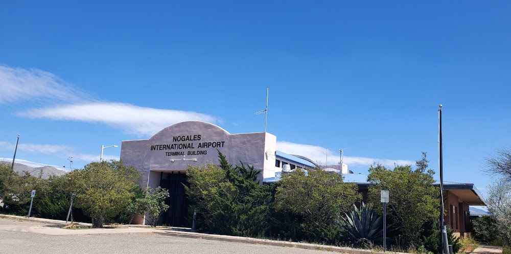
Nogales, AZ
Elevation:
3,955ft
Sectional:
Phoenix
Activation date:
Apr 1940
Fuel:
100LL, A (prices)
Runway 03/21:
7,200ft
Runway 04/22:
7,200ft
Runway H1:
97ft
Access: Open to the public
Current Weather — VFR
-
Weather data is strictly informational and not for flight planning purposes.
-
METAR2026-07-20 17:54:00 MST
Ceiling: 7,000ft Wind: 280° @ 9kt, gusts 15kt Temperature: 84°F Dewpoint: 62°F Weather: N/A Visbility: 10SM Clouds: Broken @ 7,000ft Raw:METAR KOLS 210054Z AUTO 28009G15KT 10SM BKN070 29/17 A3002 RMK AO2 SLP094 T02940167 -
TAF2026-07-20 17:00:00 MST – 2026-07-20 20:00:00 MST
Ceiling: 6,000ft Wind: 000° @ kt Weather: Thunderstorm rain Visbility: 3SM Clouds: Broken @ 6,000ft, Overcast @ 9,000ft Raw:TAF KOLS 202323Z 2100/2124 22010KT P6SM BKN070 BKN110 PROB30 2100/2103 3SM TSRA BKN060CB OVC090 FM210300 05010KT P6SM VCSH BKN060 BKN080 FM211000 VRB03KT P6SM BKN080 BKN110 -
TAF2026-07-20 17:00:00 MST – 2026-07-20 20:00:00 MST
Ceiling: 7,000ft Wind: 220° @ 10kt Weather: N/A Visbility: 6SM Clouds: Broken @ 7,000ft, Broken @ 11,000ft Raw:TAF KOLS 202323Z 2100/2124 22010KT P6SM BKN070 BKN110 PROB30 2100/2103 3SM TSRA BKN060CB OVC090 FM210300 05010KT P6SM VCSH BKN060 BKN080 FM211000 VRB03KT P6SM BKN080 BKN110 -
TAF2026-07-20 20:00:00 MST – 2026-07-21 03:00:00 MST
Ceiling: 6,000ft Wind: 050° @ 10kt Weather: Showers in vicinity Visbility: 6SM Clouds: Broken @ 6,000ft, Broken @ 8,000ft Raw:TAF KOLS 202323Z 2100/2124 22010KT P6SM BKN070 BKN110 PROB30 2100/2103 3SM TSRA BKN060CB OVC090 FM210300 05010KT P6SM VCSH BKN060 BKN080 FM211000 VRB03KT P6SM BKN080 BKN110 -
TAF2026-07-21 03:00:00 MST – 2026-07-21 17:00:00 MST
Ceiling: 8,000ft Wind: Variable Weather: N/A Visbility: 6SM Clouds: Broken @ 8,000ft, Broken @ 11,000ft Raw:TAF KOLS 202323Z 2100/2124 22010KT P6SM BKN070 BKN110 PROB30 2100/2103 3SM TSRA BKN060CB OVC090 FM210300 05010KT P6SM VCSH BKN060 BKN080 FM211000 VRB03KT P6SM BKN080 BKN110
Click/tap to add an annotation marker to the map
No webcams added yet.
Remarks
- Rwy 21 designated calm wind rwy.
- Close fp - prescott radio 122.4.
- Rwy 03 clsd to tgl.
- Straight-in approaches not recommended.
- Wildlife on or invof arpt.
- For cd ctc tucson apch at 520-829-6121.
- Actvt mirl rwy 04/22 - ctaf.
- Avblty - amgr.
Comments