Pirep is a free, collaborative database of all public and private airports. All pilots are welcome to contribute their local knowledge to any airport, no registration required.


Public
Undocumented
METAR / TAF
Edit Tags
No upcoming events. Is anything happening here soon?
Airport Statistics
- Fuel pump location
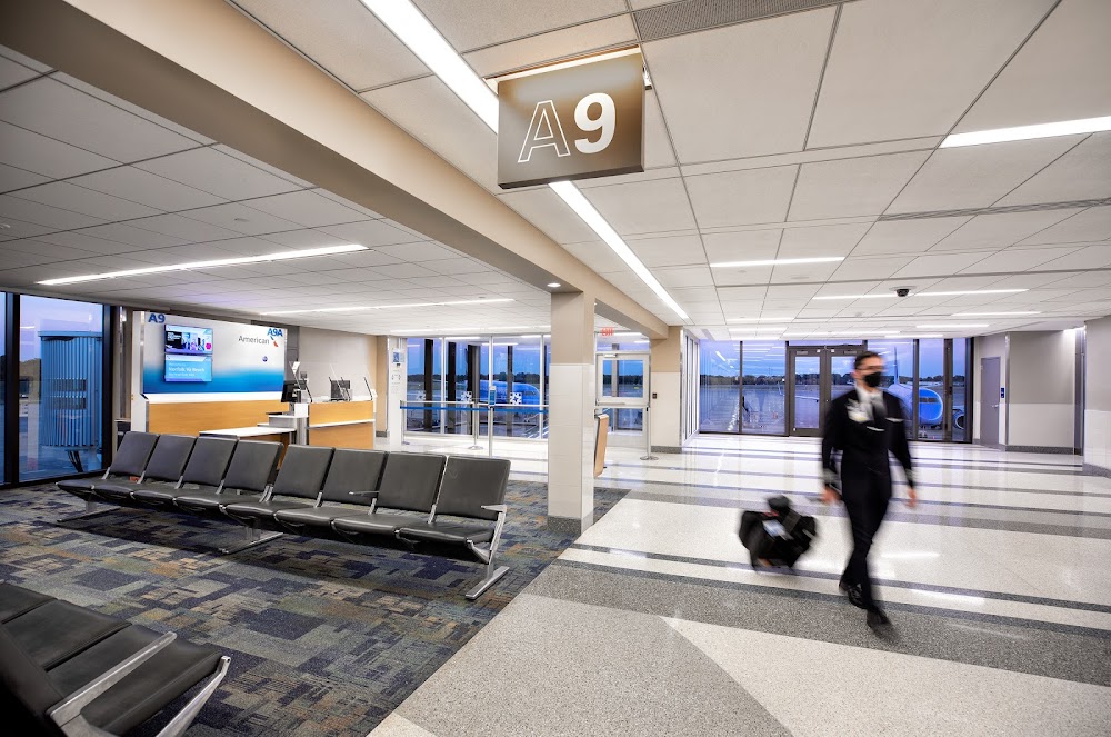
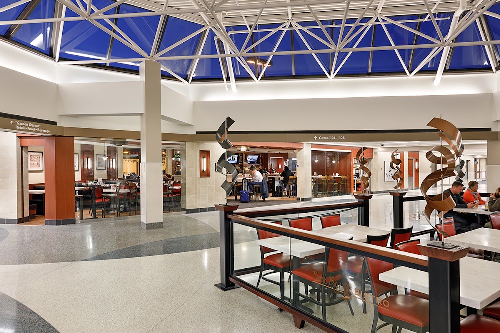
- Airport photos
- Airport map annotations
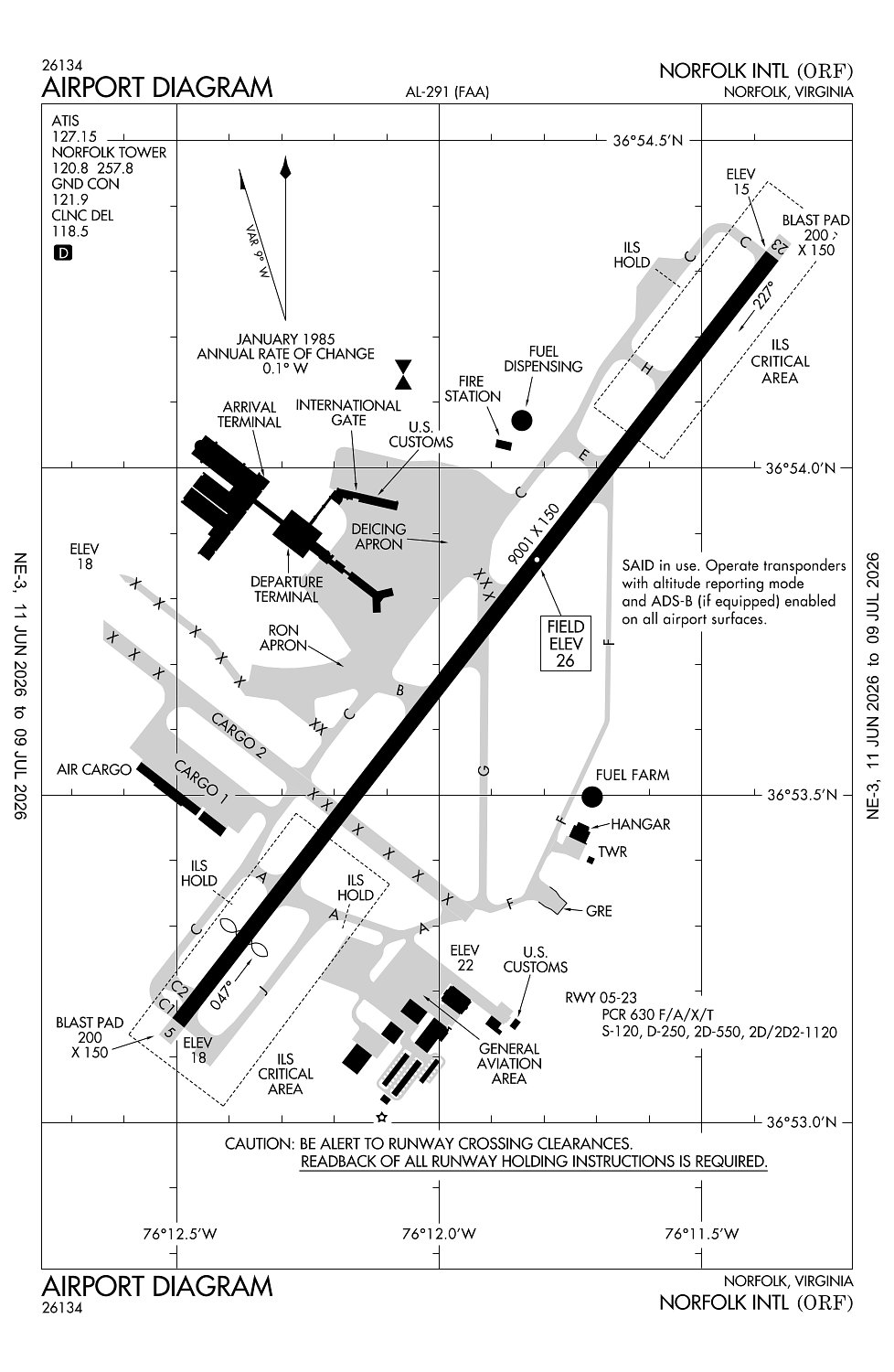
Location:
Norfolk, VA
Elevation:
26ft
Sectional:
Washington
Activation date:
Mar 1938
Fuel:
100LL, A (prices)
Runway 05/23:
9,001ft
Runway 14/32:
4,876ft
Access: Open to the public
Current Weather — VFR
-
Weather data is strictly informational and not for flight planning purposes.
-
METAR2026-07-15 17:51:00 EDT
Ceiling: Sky clear Wind: 250° @ 7kt Temperature: 89°F Dewpoint: 66°F Weather: N/A Visbility: 10SM Raw:METAR KORF 152151Z AUTO 25007KT 10SM CLR 32/19 A2996 RMK AO2 SLP145 T03170189 $ -
TAF2026-07-15 14:00:00 EDT – 2026-07-16 11:00:00 EDT
Ceiling: 25,000ft Wind: 230° @ 7kt Weather: N/A Visbility: 6SM Clouds: Broken @ 25,000ft Raw:TAF KORF 151755Z 1518/1618 23007KT P6SM BKN250 FM161500 VRB05KT P6SM BKN250 -
TAF2026-07-16 11:00:00 EDT – 2026-07-16 14:00:00 EDT
Ceiling: 25,000ft Wind: Variable Weather: N/A Visbility: 6SM Clouds: Broken @ 25,000ft Raw:TAF KORF 151755Z 1518/1618 23007KT P6SM BKN250 FM161500 VRB05KT P6SM BKN250
Click/tap to add an annotation marker to the map
No webcams added yet.
Remarks
- Noise abatement procedures in effect.
- Flocks of birds on & invof arpt.
- Intmt airfield mowing ops mar - nov.
- Orf obbst crane (asn 2019-aea-2060-nra) 365354n0761228w (0,4 nw nw orf) 230 ft (210ft agl) flagged and lgtd 2008181100-2104302300
- Orf obst crane (asn 2020-aea-7845-oe) 365429n0761047w (1.3nm ne orf) 172ft (160ft agl) flagged and lgtd 2208092134-2308280400
Comments